 Aerial imagery: USGS National Map (public domain)
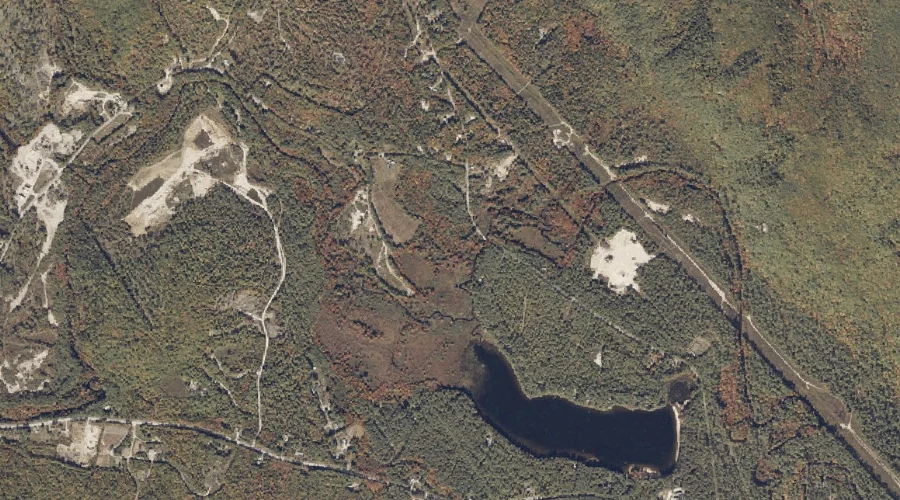
Swell Brook — Streams 11.9 Miles SSE of Chapman Inn
Oxford County, Maine · USGS Waterford Flat Quadrangle · GNIS 576610
Catalogued on the USGS Waterford Flat quadrangle in Oxford County, Maine, Swell Brook — a stream — lies 11.9 miles south-southeast of Chapman Inn.
Wikidata short description: “river in the United States of America”
Landmark Profile
Classification & USGS reference
Catalogued under GNIS Feature ID 576610, Swell Brook is recorded as a stream on the USGS Waterford Flat quadrangle in Oxford County, Maine (FIPS 23/017). Catalogued in GNIS since 09/30/1980.
Coordinates & physical setting
Swell Brook sits at 44.23951° N, 70.71979° W (DMS 44°14′22″ N, 70°43′11″ W).
As a linear feature its source lies near 44.29479° N, 70.70812° W (DMS 44°17′41″ N, 70°42′29″ W) — useful for anglers and paddlers tracing the upstream end.
Other streams in Oxford County, Maine
Oxford County, ME contains 296 streams catalogued in the USGS Geographic Names Information System, counting Swell Brook itself. The ones closest to Swell Brook:
| Feature | USGS Quadrangle | Distance |
|---|---|---|
| Hobbs Brook | Waterford Flat | 0.2 mi |
| Hemlock Brook | Waterford Flat | 1.2 mi |
| McIntire Brook | Waterford Flat | 2 mi |
| Mills Brook | Waterford Flat | 2.6 mi |
| Warren Brook | North Waterford | 2.9 mi |
| Mill Brook | North Waterford | 2.9 mi |
| Herrick Brook | Waterford Flat | 3.5 mi |
| Morse Brook | Waterford Flat | 3.5 mi |
| Meadow Brook | Waterford Flat | 3.6 mi |
| Kingman Brook | Waterford Flat | 3.7 mi |
Features on the USGS Waterford Flat Quadrangle
The Waterford Flat 7.5-minute topographic quadrangle holds 47 catalogued natural features alongside Swell Brook. A sampling nearest to this location:
| Feature | Type | County | Offset |
|---|---|---|---|
| Hobbs Brook | Streams | Oxford County, ME | 0.2 mi |
| Papoose Pond | Lakes | Oxford County, ME | 0.6 mi |
| Pulpit Rock | Summits | Oxford County, ME | 0.9 mi |
| Hemlock Brook | Streams | Oxford County, ME | 1.2 mi |
| Page Mountain | Summits | Oxford County, ME | 1.5 mi |
| Brown Hill | Summits | Oxford County, ME | 1.7 mi |
| McIntire Brook | Streams | Oxford County, ME | 2 mi |
| Hemlock Hill | Summits | Oxford County, ME | 2 mi |
| Rice Hill | Summits | Oxford County, ME | 2.1 mi |
| Newcomb Mountain | Summits | Oxford County, ME | 2.1 mi |
Visiting from Chapman Inn
Distance, bearing & drive time
A 20-minute drive along back roads separates the front door of Chapman Inn from Swell Brook — 11.9 miles south-southeast as the crow flies, on compass bearing SSE.
Best time to visit
Best observed in late spring and early summer when flow is strong and banks are visible. At this latitude (44.240°), the shoulder seasons are workable — April and November can be comfortable on mild years. At 11.9 miles from the Inn, plan on a comfortable day trip with time for lunch on the road. Conditions at Swell Brook track the nearby Hobbs Brook stream (0.2 mi away) closely — if that is runnable, so is this.
Nearest features to Swell Brook
| Feature | Type | County | Distance |
|---|---|---|---|
| Hobbs Brook | Streams | Oxford County, ME | 0.2 mi |
| Papoose Pond | Lakes | Oxford County, ME | 0.6 mi |
| Pulpit Rock | Summits | Oxford County, ME | 0.9 mi |
| Hemlock Brook | Streams | Oxford County, ME | 1.2 mi |
| Fisk Hill | Summits | Oxford County, ME | 1.4 mi |
Frequently Asked Questions
Where is Swell Brook located?
Swell Brook is in Oxford County, Maine, approximately 11.9 miles south-southeast of Chapman Inn in Bethel, Maine. It appears on the USGS Waterford Flat topographic quadrangle.
How far is Swell Brook from Chapman Inn?
The drive runs about 20 minutes, 11.9 miles south-southeast (bearing SSE) of the Inn.
What type of natural feature is Swell Brook?
The U.S. Geological Survey classifies Swell Brook as a stream, catalogued under GNIS Feature ID 576610 on the Waterford Flat quadrangle.
When is the best time to visit Swell Brook?
Best observed in late spring and early summer when flow is strong and banks are visible.
How many other streams are in Oxford County, Maine?
GNIS lists 295 other streams in Oxford County, Maine.
Wikidata: Q34875770.