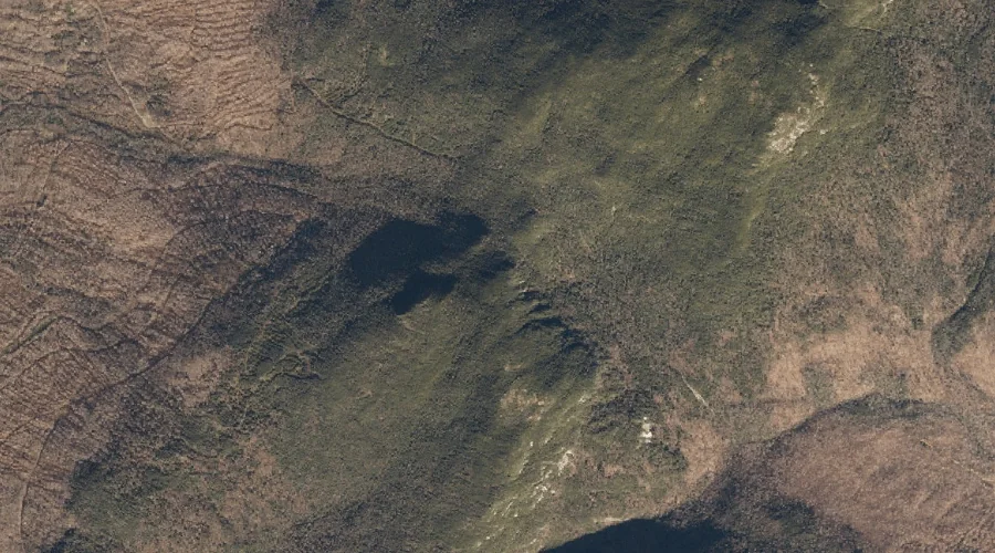
Notch 2 is a mountain gap in Oxford County, Maine, located about 14.2 miles northwest of Chapman Inn in Bethel, Maine. It appears on the USGS Old Speck…
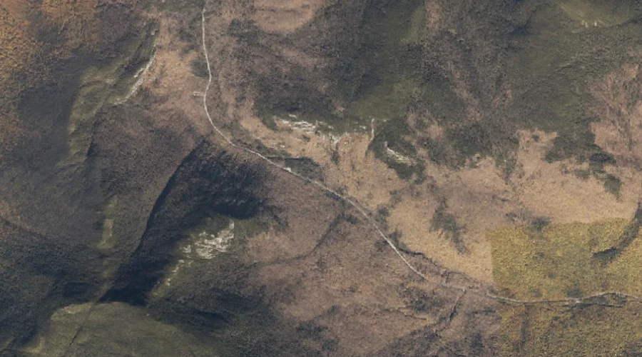
Kezar Falls Hill is a summit in Oxford County, Maine, located about 14.2 miles south of Chapman Inn in Bethel, Maine. It appears on the USGS North Waterford…
Moose Cave Gorge is a valley in Oxford County, Maine, located about 14.2 miles north-northwest of Chapman Inn in Bethel, Maine. It appears on the USGS Old Speck…
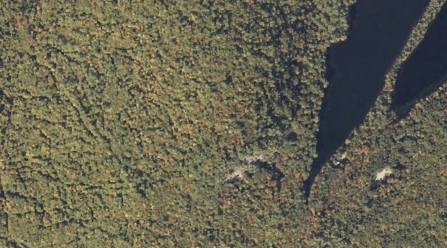
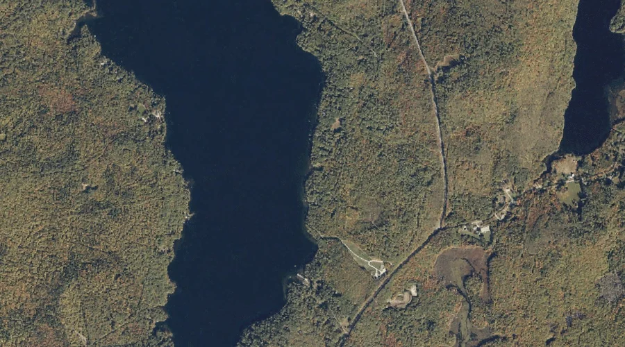
Horseshoe Pond is a lake in Oxford County, Maine, located about 14.2 miles north-northeast of Chapman Inn in Bethel, Maine. It appears on the USGS East Andover topographic…
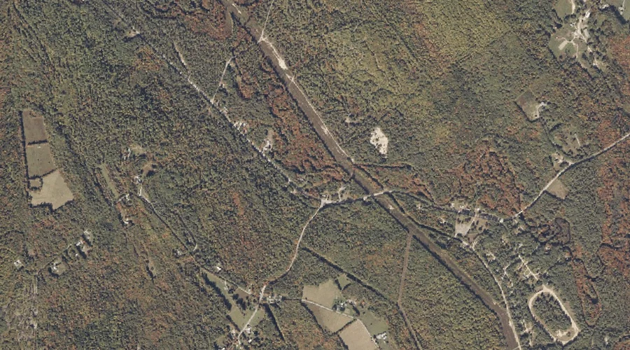
Mills Brook is a stream in Oxford County, Maine, located about 14.2 miles south-southeast of Chapman Inn in Bethel, Maine. It appears on the USGS Waterford Flat topographic…
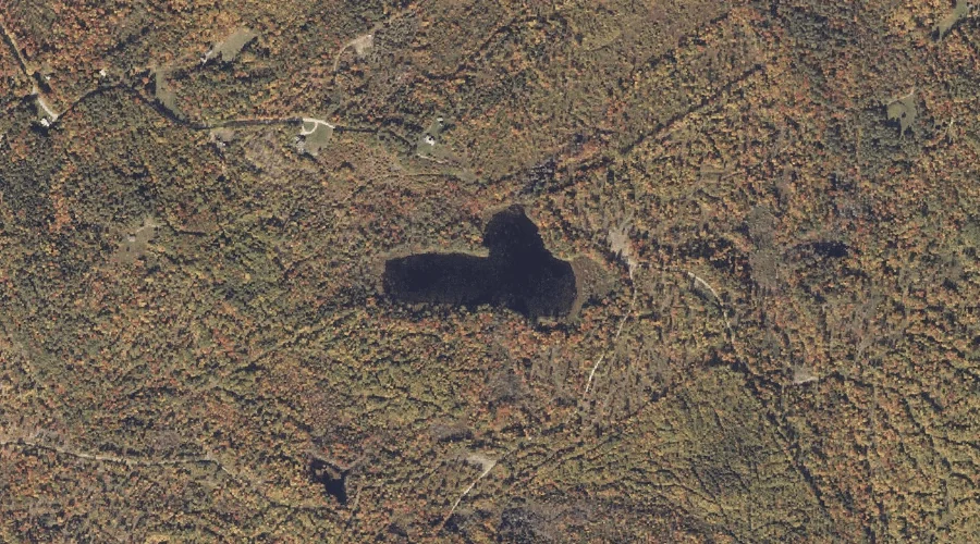
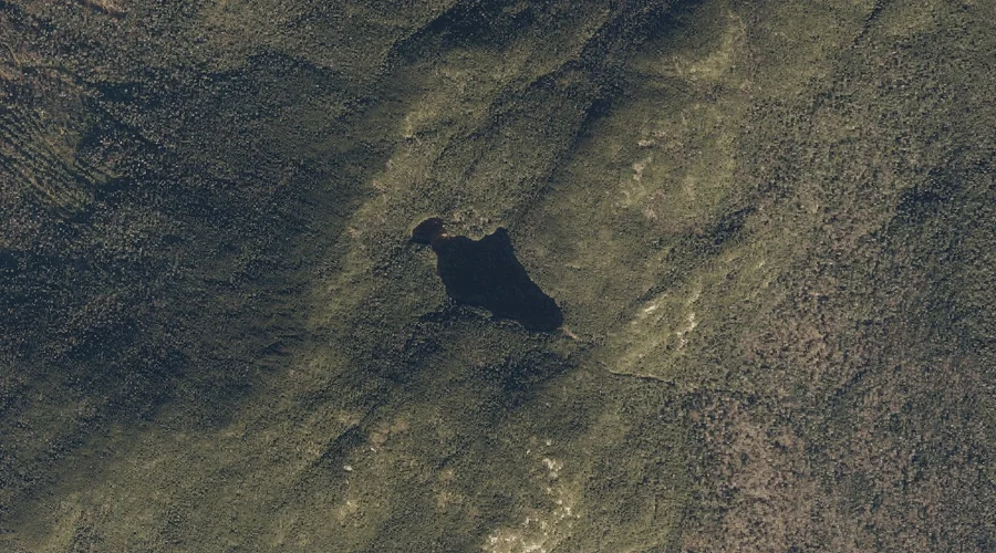
Speck Pond is a lake in Oxford County, Maine, located about 14.2 miles northwest of Chapman Inn in Bethel, Maine. It appears on the USGS Old Speck Mountain…
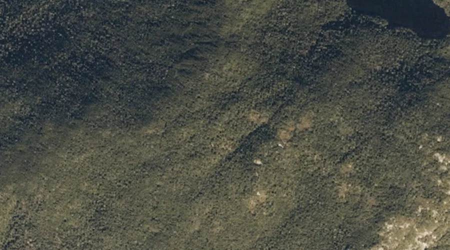
Mahoosuc Arm is a summit in Oxford County, Maine, located about 14.3 miles northwest of Chapman Inn in Bethel, Maine. It appears on the USGS Old Speck Mountain…
Waterthrush Brook is a stream in Oxford County, Maine, located about 14.3 miles south-southwest of Chapman Inn in Bethel, Maine. It appears on the USGS Center Lovell topographic…
Shell Pond is a lake in Oxford County, Maine, located about 14.3 miles southwest of Chapman Inn in Bethel, Maine. It appears on the USGS Center Lovell topographic…
Holt Hill is a summit in Oxford County, Maine, located about 14.0 miles southeast of Chapman Inn in Bethel, Maine. It appears on the USGS Waterford Flat topographic…