 Aerial imagery: USGS National Map (public domain)
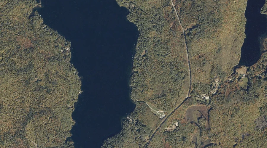
Waterthrush Brook — Streams 14.3 Miles SSW of Chapman Inn
Oxford County, Maine · USGS Center Lovell Quadrangle · GNIS 2805405
14.3 miles south-southwest of Chapman Inn, on the USGS Center Lovell topographic quadrangle, Waterthrush Brook is a stream recorded in Oxford County, Maine by the federal Geographic Names Information System.
Landmark Profile
Classification & USGS reference
The USGS Center Lovell 7.5-minute topographic quadrangle places Waterthrush Brook in Oxford County, Maine (FIPS 23/017), classified as a stream in the federal GNIS (Feature ID 2805405). Catalogued in GNIS since 02/13/2020.
Coordinates & physical setting
Waterthrush Brook sits at 44.21167° N, 70.88996° W (DMS 44°12′42″ N, 70°53′24″ W).
As a linear feature its source lies near 44.22572° N, 70.88004° W (DMS 44°13′33″ N, 70°52′48″ W) — useful for anglers and paddlers tracing the upstream end.
Other streams in Oxford County, Maine
Oxford County, ME contains 296 streams catalogued in the USGS Geographic Names Information System, counting Waterthrush Brook itself. The ones closest to Waterthrush Brook:
| Feature | USGS Quadrangle | Distance |
|---|---|---|
| Boulder Brook | Center Lovell | 0.4 mi |
| Mill Brook | Center Lovell | 1 mi |
| Little Trout Brook | North Waterford | 1.3 mi |
| Andrews Brook | Center Lovell | 1.3 mi |
| Martin Brook | Center Lovell | 1.3 mi |
| Coffin Brook | Center Lovell | 1.9 mi |
| Cold Brook | Center Lovell | 2 mi |
| Great Brook | Center Lovell | 2.2 mi |
| Bradley Brook | Center Lovell | 3.1 mi |
| Howard Brook | Center Lovell | 3.2 mi |
Features on the USGS Center Lovell Quadrangle
The Center Lovell 7.5-minute topographic quadrangle holds 65 catalogued natural features alongside Waterthrush Brook. A sampling nearest to this location:
| Feature | Type | County | Offset |
|---|---|---|---|
| Boulder Brook | Streams | Oxford County, ME | 0.4 mi |
| Mill Brook | Streams | Oxford County, ME | 1 mi |
| Hamblin Hill | Summits | Oxford County, ME | 1.1 mi |
| Bryant Hill | Summits | Oxford County, ME | 1.1 mi |
| Andrews Brook | Streams | Oxford County, ME | 1.3 mi |
| Martin Brook | Streams | Oxford County, ME | 1.3 mi |
| Rattlesnake Island | Islands | Oxford County, ME | 1.6 mi |
| Upper Bay | Bays | Oxford County, ME | 1.7 mi |
| Middle Bay | Bays | Oxford County, ME | 1.7 mi |
| Peaked Hill | Summits | Oxford County, ME | 1.7 mi |
Historical record
The U.S. Board on Geographic Names recorded a Official (Board Decision) on February 13, 2020 for this name.
Visiting from Chapman Inn
Distance, bearing & drive time
Chapman Inn sits 14.3 miles south-southwest (bearing SSW) of Waterthrush Brook. At moderate back-road speeds the drive runs about 24 minutes — comfortably inside a half-day outing window after breakfast.
Best time to visit
Best observed in late spring and early summer when flow is strong and banks are visible. At this latitude (44.212°), the shoulder seasons are workable — April and November can be comfortable on mild years. At 14.3 miles from the Inn, plan on a comfortable day trip with time for lunch on the road. Conditions at Waterthrush Brook track the nearby Boulder Brook stream (0.4 mi away) closely — if that is runnable, so is this.
Nearest features to Waterthrush Brook
| Feature | Type | County | Distance |
|---|---|---|---|
| Boulder Brook | Streams | Oxford County, ME | 0.4 mi |
| Whiting Hill | Summits | Oxford County, ME | 0.9 mi |
| Mill Brook | Streams | Oxford County, ME | 1 mi |
| Hamblin Hill | Summits | Oxford County, ME | 1.1 mi |
| Bryant Hill | Summits | Oxford County, ME | 1.1 mi |
Frequently Asked Questions
Where is Waterthrush Brook located?
Waterthrush Brook is in Oxford County, Maine, approximately 14.3 miles south-southwest of Chapman Inn in Bethel, Maine. It appears on the USGS Center Lovell topographic quadrangle.
How far is Waterthrush Brook from Chapman Inn?
The drive runs about 24 minutes, 14.3 miles south-southwest (bearing SSW) of the Inn.
What type of natural feature is Waterthrush Brook?
The U.S. Geological Survey classifies Waterthrush Brook as a stream, catalogued under GNIS Feature ID 2805405 on the Center Lovell quadrangle.
When is the best time to visit Waterthrush Brook?
Best observed in late spring and early summer when flow is strong and banks are visible.
How many other streams are in Oxford County, Maine?
GNIS lists 295 other streams in Oxford County, Maine.