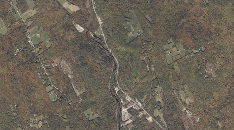
Snow Falls Gorge is a valley in Oxford County, Maine, located about 14.3 miles east-southeast of Chapman Inn in Bethel, Maine. It appears on the USGS West Paris…
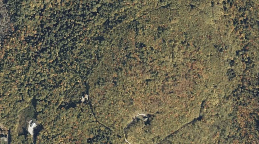
Cobble Hill is a summit in Oxford County, Maine, located about 14.3 miles southeast of Chapman Inn in Bethel, Maine. It appears on the USGS West Paris topographic…
Kezar Falls is a waterfall in Oxford County, Maine, located about 14.3 miles south of Chapman Inn in Bethel, Maine. It appears on the USGS North Waterford topographic…
McDaniels Hill is a summit in Oxford County, Maine, located about 14.4 miles south-southwest of Chapman Inn in Bethel, Maine. It appears on the USGS North Waterford topographic…
Hedgehog Hill is a summit in Oxford County, Maine, located about 14.4 miles southeast of Chapman Inn in Bethel, Maine. It appears on the USGS West Paris topographic…
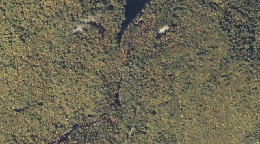
Lone Brook is a stream in Oxford County, Maine, located about 14.4 miles north of Chapman Inn in Bethel, Maine. It appears on the USGS East Andover topographic…
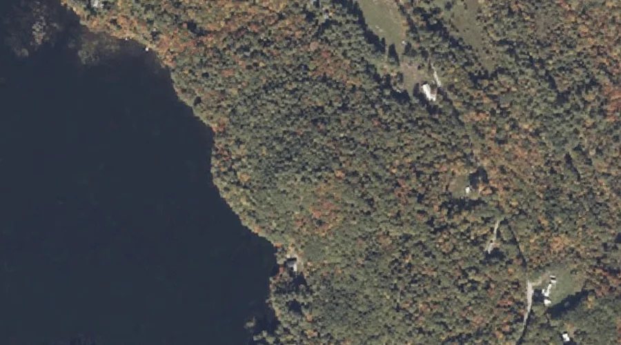
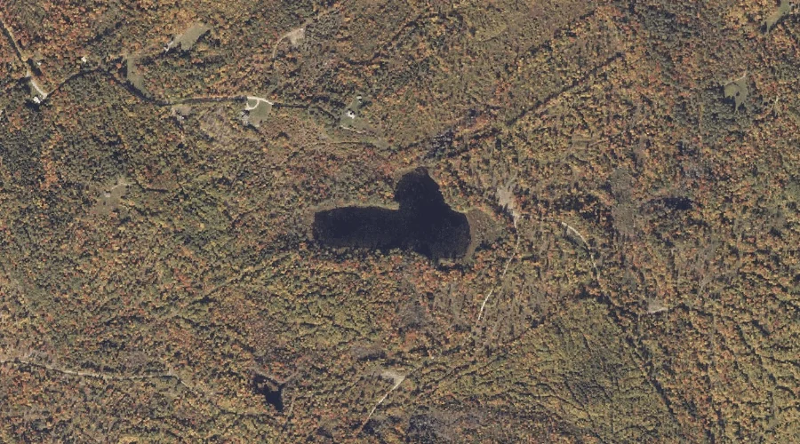
Horseshoe Pond is a lake in Oxford County, Maine, located about 14.4 miles south-southwest of Chapman Inn in Bethel, Maine. It appears on the USGS Center Lovell topographic…
Black Mountain is a summit in Oxford County, Maine, located about 14.5 miles north-northeast of Chapman Inn in Bethel, Maine. It appears on the USGS East Andover topographic…
Stearns Hill is a summit in Oxford County, Maine, located about 14.5 miles east-southeast of Chapman Inn in Bethel, Maine. It appears on the USGS West Paris topographic…
Horseshoe Pond is a lake in Oxford County, Maine, located about 14.2 miles north-northeast of Chapman Inn in Bethel, Maine. It appears on the USGS East Andover topographic…