 Aerial imagery: USGS National Map (public domain)
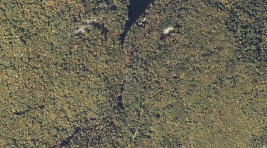
Kezar Falls — Waterfalls 14.3 Miles S of Chapman Inn
Oxford County, Maine · USGS North Waterford Quadrangle · GNIS 581078
Within Oxford County, Maine, on the USGS North Waterford quadrangle, the waterfall known as Kezar Falls sits 14.3 miles south of Chapman Inn.
Landmark Profile
Classification & USGS reference
Within Oxford County, Maine, the U.S. Geological Survey lists Kezar Falls as a waterfall on the North Waterford topographic quadrangle (FIPS 23/017), under Feature ID 581078. Catalogued in GNIS since 09/30/1980.
Coordinates & physical setting
Kezar Falls sits at 44.19812° N, 70.81451° W (DMS 44°11′53″ N, 70°48′52″ W).
As a linear feature its source lies near 0.00000° N, 0.00000° W — useful for anglers and paddlers tracing the upstream end.
Other waterfalls in Oxford County, Maine
Oxford County, ME contains 19 waterfalls catalogued in the USGS Geographic Names Information System, counting Kezar Falls itself. The ones closest to Kezar Falls:
| Feature | USGS Quadrangle | Distance |
|---|---|---|
| Mad River Falls | Wild River | 11.4 mi |
| Kees Falls | Speckled Mountain | 12 mi |
| Swans Falls | Fryeburg | 13.8 mi |
| Steep Falls | Norway | 14 mi |
| Bisco Falls | West Paris | 15 mi |
| Basin Falls | West Sumner | 21.5 mi |
| Great Falls | Cornish | 23.9 mi |
| Screw Auger Falls | Old Speck Mountain | 26.3 mi |
| Mother Walker Falls | Old Speck Mountain | 26.8 mi |
| Rumford Falls | Rumford | 27.1 mi |
Features on the USGS North Waterford Quadrangle
The North Waterford 7.5-minute topographic quadrangle holds 57 catalogued natural features alongside Kezar Falls. A sampling nearest to this location:
| Feature | Type | County | Offset |
|---|---|---|---|
| Kezar Falls Hill | Summits | Oxford County, ME | 0.2 mi |
| Kezar Falls Gorge | Valleys | Oxford County, ME | 0.4 mi |
| Stone Hill | Summits | Oxford County, ME | 0.4 mi |
| Five Kezar Ponds | Lakes | Oxford County, ME | 0.7 mi |
| Green Brook | Streams | Oxford County, ME | 0.8 mi |
| Oak Hill | Summits | Oxford County, ME | 1 mi |
| Patterson Hill | Summits | Oxford County, ME | 1.1 mi |
| Dan Charles Pond | Lakes | Oxford County, ME | 1.3 mi |
| Skillings Hill | Summits | Oxford County, ME | 1.4 mi |
| Burnell Hill | Summits | Oxford County, ME | 1.6 mi |
Visiting from Chapman Inn
Distance, bearing & drive time
Follow the compass bearing S out of Bethel for 14.3 miles (south) and you reach Kezar Falls; at typical rural speeds the trip runs roughly 25 minutes.
Best time to visit
Peak flow runs mid-April through June after snowmelt; late summer can be thin or dry. At this latitude (44.198°), the shoulder seasons are workable — April and November can be comfortable on mild years. At 14.3 miles from the Inn, plan on a comfortable day trip with time for lunch on the road. Conditions at Kezar Falls track the nearby Kezar Falls Hill summit (0.2 mi away) closely — if that is runnable, so is this.
Nearest features to Kezar Falls
| Feature | Type | County | Distance |
|---|---|---|---|
| Kezar Falls Hill | Summits | Oxford County, ME | 0.2 mi |
| Kezar Falls Gorge | Valleys | Oxford County, ME | 0.4 mi |
| Stone Hill | Summits | Oxford County, ME | 0.4 mi |
| Five Kezar Ponds | Lakes | Oxford County, ME | 0.7 mi |
| Green Brook | Streams | Oxford County, ME | 0.8 mi |
Frequently Asked Questions
Where is Kezar Falls located?
Kezar Falls is in Oxford County, Maine, approximately 14.3 miles south of Chapman Inn in Bethel, Maine. It appears on the USGS North Waterford topographic quadrangle.
How far is Kezar Falls from Chapman Inn?
The drive runs about 25 minutes, 14.3 miles south (bearing S) of the Inn.
What type of natural feature is Kezar Falls?
The U.S. Geological Survey classifies Kezar Falls as a waterfall, catalogued under GNIS Feature ID 581078 on the North Waterford quadrangle.
When is the best time to visit Kezar Falls?
Peak flow runs mid-April through June after snowmelt; late summer can be thin or dry.
How many other waterfalls are in Oxford County, Maine?
GNIS lists 18 other waterfalls in Oxford County, Maine.