Farnsworth Brook is a stream in Oxford County, Maine, located about 19.8 miles south-southeast of Chapman Inn in Bethel, Maine. It appears on the USGS Waterford Flat topographic…
Whittemore Bluff is a cliff face in Oxford County, Maine, located about 19.8 miles east-northeast of Chapman Inn in Bethel, Maine. It appears on the USGS Dixfield topographic…
Warren Hill is a summit in Oxford County, Maine, located about 19.8 miles east-southeast of Chapman Inn in Bethel, Maine. It appears on the USGS West Sumner topographic…
Thompson Mountain is a summit in Oxford County, Maine, located about 19.8 miles east of Chapman Inn in Bethel, Maine. It appears on the USGS Worthley Pond topographic…
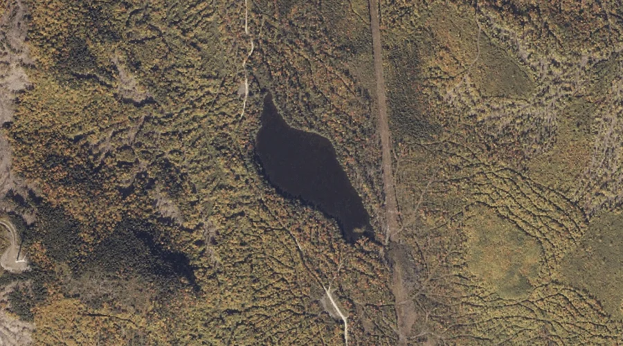
Bunker Pond is a lake in Oxford County, Maine, located about 19.9 miles north-northeast of Chapman Inn in Bethel, Maine. It appears on the USGS Roxbury topographic quadrangle.
East B Hill is a summit in Oxford County, Maine, located about 19.6 miles north-northwest of Chapman Inn in Bethel, Maine. It appears on the USGS B Pond…
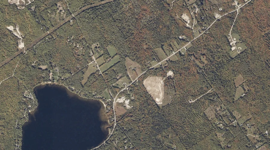
Horse Hill is a summit in Oxford County, Maine, located about 19.6 miles southeast of Chapman Inn in Bethel, Maine. It appears on the USGS Norway topographic quadrangle.
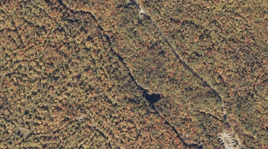
Silver Ripple Cascade is a waterfall in Oxford County, Maine, located about 19.6 miles north of Chapman Inn in Bethel, Maine. It appears on the USGS Ellis Pond…
Powers Brook is a stream in Oxford County, Maine, located about 19.3 miles south of Chapman Inn in Bethel, Maine. It appears on the USGS North Waterford topographic…
Christian Hill is a summit in Oxford County, Maine, located about 19.3 miles south-southwest of Chapman Inn in Bethel, Maine. It appears on the USGS Center Lovell topographic…