Sugarloaf is a summit in Oxford County, Maine, located about 20.2 miles east-northeast of Chapman Inn in Bethel, Maine. It appears on the USGS Dixfield topographic quadrangle.
York Brook is a stream in Oxford County, Maine, located about 20.2 miles north-northeast of Chapman Inn in Bethel, Maine. It appears on the USGS Ellis Pond topographic…
Brett Hill is a summit in Oxford County, Maine, located about 20.2 miles south-southeast of Chapman Inn in Bethel, Maine. It appears on the USGS Norway topographic quadrangle.
Upper Stony Brook is a stream in Oxford County, Maine, located about 20.2 miles east-northeast of Chapman Inn in Bethel, Maine. It appears on the USGS Dixfield topographic…
Beaver Brook is a stream in Oxford County, Maine, located about 20.3 miles north-northeast of Chapman Inn in Bethel, Maine. It appears on the USGS Ellis Pond topographic…
Newton Brook is a stream in Oxford County, Maine, located about 20.3 miles east-northeast of Chapman Inn in Bethel, Maine. It appears on the USGS Dixfield topographic quadrangle.
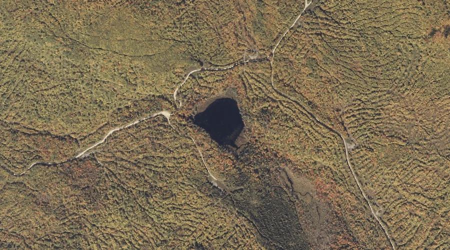
Birch Pond is a lake in Oxford County, Maine, located about 20.0 miles northeast of Chapman Inn in Bethel, Maine. It appears on the USGS Roxbury topographic quadrangle.
Little Pond is a lake in Oxford County, Maine, located about 20.0 miles south-southeast of Chapman Inn in Bethel, Maine. It appears on the USGS Norway topographic quadrangle.
Spruce Mountain is a summit in Oxford County, Maine, located about 20.0 miles north-northwest of Chapman Inn in Bethel, Maine. It appears on the USGS B Pond topographic…
Bull Rock is a rock pillar in Oxford County, Maine, located about 20.0 miles east-northeast of Chapman Inn in Bethel, Maine. It appears on the USGS Dixfield topographic…