 Aerial imagery: USGS National Map (public domain)
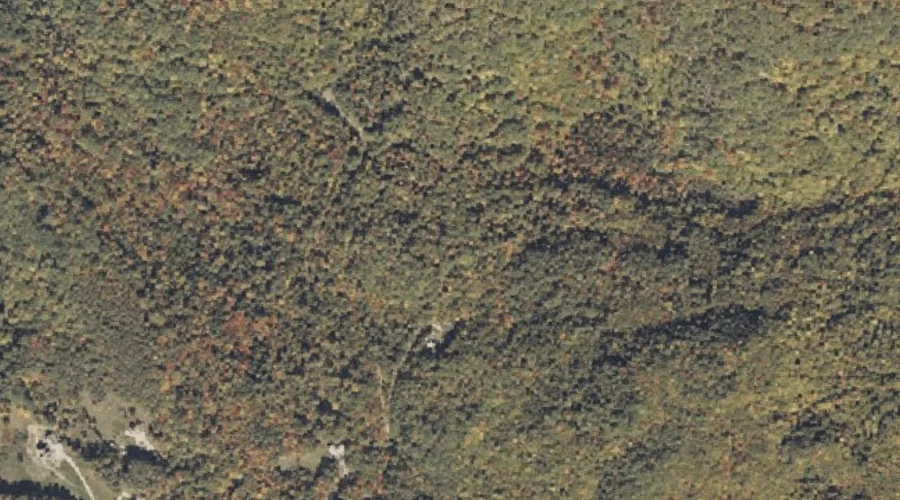
Bull Rock — Pillars 20.0 Miles ENE of Chapman Inn
Oxford County, Maine · USGS Dixfield Quadrangle · GNIS 563165
One of only 15 pillars catalogued within the 80 km reach of Chapman Inn, Bull Rock lies on the USGS Dixfield quadrangle in Oxford County, Maine — 20.0 miles east-northeast of the Inn.
Landmark Profile
Classification & USGS reference
Within Oxford County, Maine, the U.S. Geological Survey lists Bull Rock as a rock pillar on the Dixfield topographic quadrangle (FIPS 23/017), under Feature ID 563165. Catalogued in GNIS since 09/30/1980.
Coordinates & physical setting
Bull Rock sits at 44.54867° N, 70.43590° W (DMS 44°32′55″ N, 70°26′09″ W).
Features on the USGS Dixfield Quadrangle
The Dixfield 7.5-minute topographic quadrangle holds 36 catalogued natural features alongside Bull Rock. A sampling nearest to this location:
| Feature | Type | County | Offset |
|---|---|---|---|
| Sugarloaf | Summits | Oxford County, ME | 0.5 mi |
| Pauls Bluff | Cliffs | Oxford County, ME | 0.9 mi |
| Mitchell Brook | Streams | Oxford County, ME | 1.4 mi |
| Aunt Hannah Brook | Streams | Oxford County, ME | 1.5 mi |
| Webb River | Streams | Franklin County, ME | 1.7 mi |
| Spears Stream | Streams | Oxford County, ME | 1.8 mi |
| Staples Brook | Streams | Oxford County, ME | 1.9 mi |
| Whittemore Bluff | Cliffs | Oxford County, ME | 2 mi |
| Masterman Hill | Summits | Oxford County, ME | 2.1 mi |
| Kidder Mountain | Summits | Oxford County, ME | 2.4 mi |
Ranking & rarity
- Among the 15 pillars catalogued within 80 km of Chapman Inn, Bull Rock ranks #2 by proximity to the Inn (closer than 87%).
- This is one of only 15 pillars catalogued within Chapman Inn’s 80 km reach — a rare classification in the local landscape.
Visiting from Chapman Inn
Distance, bearing & drive time
Follow the compass bearing ENE out of Bethel for 20.0 miles (east-northeast) and you reach Bull Rock; at typical rural speeds the trip runs roughly 34 minutes.
Best time to visit
Accessible May through November in most years. At this latitude (44.549°), the shoulder seasons are workable — April and November can be comfortable on mild years. At 20.0 miles from the Inn, plan on a comfortable day trip with time for lunch on the road. Conditions at Bull Rock track the nearby Sugarloaf summit (0.5 mi away) closely — if that is runnable, so is this.
Nearest features to Bull Rock
| Feature | Type | County | Distance |
|---|---|---|---|
| Sugarloaf | Summits | Oxford County, ME | 0.5 mi |
| Pauls Bluff | Cliffs | Oxford County, ME | 0.9 mi |
| Mitchell Brook | Streams | Oxford County, ME | 1.4 mi |
| Aunt Hannah Brook | Streams | Oxford County, ME | 1.5 mi |
| Webb River | Streams | Franklin County, ME | 1.7 mi |
Frequently Asked Questions
Where is Bull Rock located?
Bull Rock is in Oxford County, Maine, approximately 20.0 miles east-northeast of Chapman Inn in Bethel, Maine. It appears on the USGS Dixfield topographic quadrangle.
How far is Bull Rock from Chapman Inn?
The drive runs about 34 minutes, 20.0 miles east-northeast (bearing ENE) of the Inn.
What type of natural feature is Bull Rock?
The U.S. Geological Survey classifies Bull Rock as a rock pillar, catalogued under GNIS Feature ID 563165 on the Dixfield quadrangle.
When is the best time to visit Bull Rock?
Accessible May through November in most years.
How rare is pillars as a classification near Chapman Inn?
Only 15 pillars are catalogued within the 80 km radius of the Inn — a comparatively rare classification.