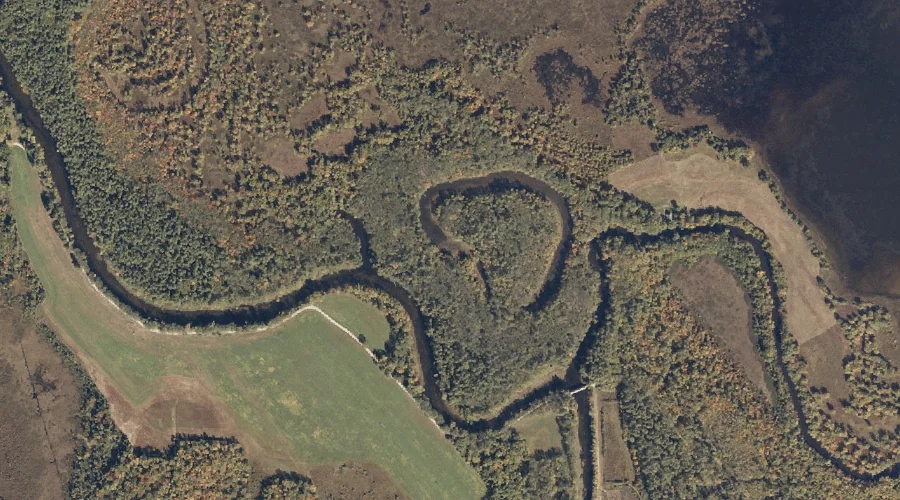
Clearwater Brook is a stream in Oxford County, Maine, located about 23.3 miles north of Chapman Inn in Bethel, Maine. It appears on the USGS Andover topographic quadrangle.
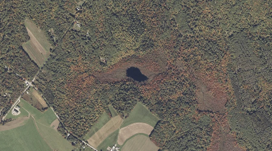
Barnett Pond is a lake in Oxford County, Maine, located about 23.3 miles southeast of Chapman Inn in Bethel, Maine. It appears on the USGS Oxford topographic quadrangle.
Allen Hill is a summit in Oxford County, Maine, located about 23.0 miles southeast of Chapman Inn in Bethel, Maine. It appears on the USGS Norway topographic quadrangle.
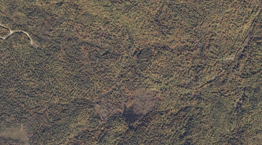
Siberia Meadows is a natural feature in Oxford County, Maine, located about 23.0 miles east-northeast of Chapman Inn in Bethel, Maine. It appears on the USGS Dixfield topographic…
Big Hill is a summit in Oxford County, Maine, located about 23.0 miles south-southeast of Chapman Inn in Bethel, Maine. It appears on the USGS Casco topographic quadrangle.
Horseshoe Pond is a lake in Oxford County, Maine, located about 23.0 miles south-southwest of Chapman Inn in Bethel, Maine. It appears on the USGS Fryeburg topographic quadrangle.
Dunn Ledge is a summit in Oxford County, Maine, located about 23.1 miles east of Chapman Inn in Bethel, Maine. It appears on the USGS Canton topographic quadrangle.
Thomas Hill is a summit in Oxford County, Maine, located about 23.1 miles southeast of Chapman Inn in Bethel, Maine. It appears on the USGS Oxford topographic quadrangle.
Holman Mountain is a summit in Oxford County, Maine, located about 23.1 miles east-northeast of Chapman Inn in Bethel, Maine. It appears on the USGS Dixfield topographic quadrangle.
Hutchinson Hill is a summit in Oxford County, Maine, located about 23.2 miles east of Chapman Inn in Bethel, Maine. It appears on the USGS Buckfield topographic quadrangle.