Mitchell Brook is a stream in Oxford County, Maine, located about 22.9 miles east-southeast of Chapman Inn in Bethel, Maine. It appears on the USGS Buckfield topographic quadrangle.
East Branch Nezinscot River is a stream in Oxford County, Maine, located about 23.0 miles east-southeast of Chapman Inn in Bethel, Maine. It appears on the USGS Buckfield…
Gordon Brook is a stream in Oxford County, Maine, located about 23.0 miles east-northeast of Chapman Inn in Bethel, Maine. It appears on the USGS Dixfield topographic quadrangle.
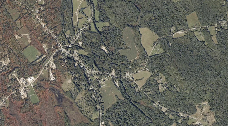
Lake Anasagunticook is a reservoir in Oxford County, Maine, located about 23.0 miles east of Chapman Inn in Bethel, Maine. It appears on the USGS Canton topographic quadrangle.
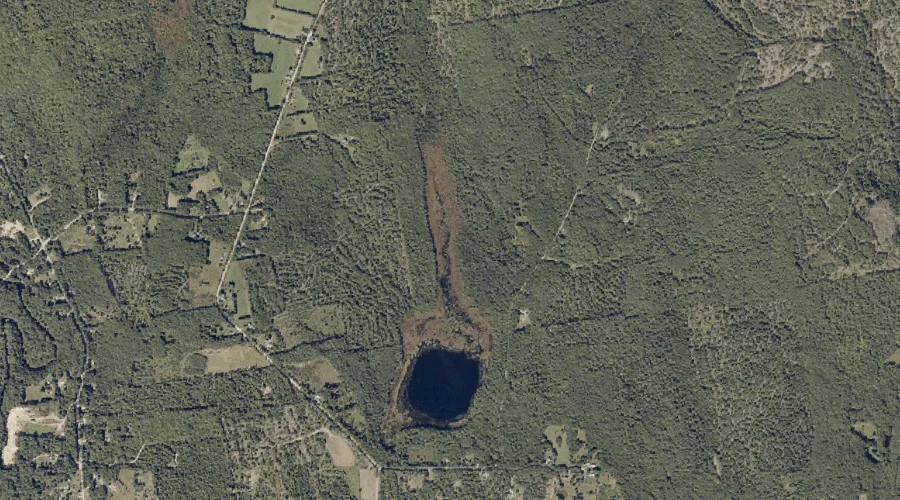
Swan Pond is a lake in Oxford County, Maine, located about 23.0 miles east-southeast of Chapman Inn in Bethel, Maine. It appears on the USGS Buckfield topographic quadrangle.
West Branch Nezinscot River is a stream in Oxford County, Maine, located about 23.0 miles east-southeast of Chapman Inn in Bethel, Maine. It appears on the USGS Buckfield…
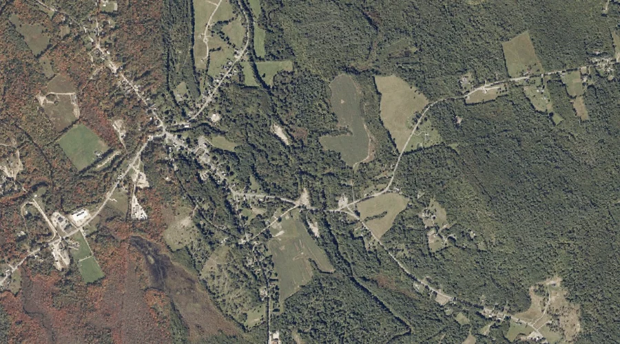
The Pinnacle is a summit in Oxford County, Maine, located about 22.5 miles east of Chapman Inn in Bethel, Maine. It appears on the USGS Canton topographic quadrangle.
Bartlett Hill is a summit in Oxford County, Maine, located about 22.6 miles east of Chapman Inn in Bethel, Maine. It appears on the USGS Canton topographic quadrangle.
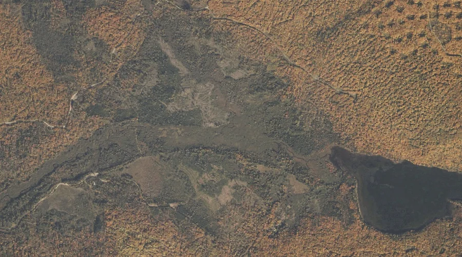
Kezar Pond is a lake in Oxford County, Maine, located about 22.6 miles south-southwest of Chapman Inn in Bethel, Maine. It appears on the USGS Fryeburg topographic quadrangle.
Red Brook is a stream in Oxford County, Maine, located about 22.7 miles north-northwest of Chapman Inn in Bethel, Maine. It appears on the USGS B Pond topographic…