Aldrich Brook is a stream in Oxford County, Maine, located about 43.8 miles north-northwest of Chapman Inn in Bethel, Maine. It appears on the USGS Bosebuck Mountain topographic…
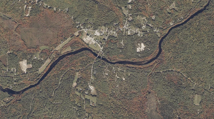
Little Falls is a waterfall in Oxford County, Maine, located about 43.5 miles north of Chapman Inn in Bethel, Maine. It appears on the USGS Kennebago topographic quadrangle.
Parker Hill is a summit in Oxford County, Maine, located about 43.3 miles north-northwest of Chapman Inn in Bethel, Maine. It appears on the USGS Bosebuck Mountain topographic…
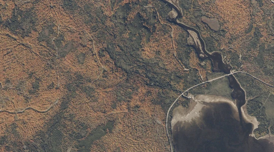
Mill Brook is a stream in Oxford County, Maine, located about 43.1 miles south of Chapman Inn in Bethel, Maine. It appears on the USGS Kezar Falls topographic…
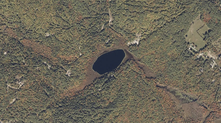
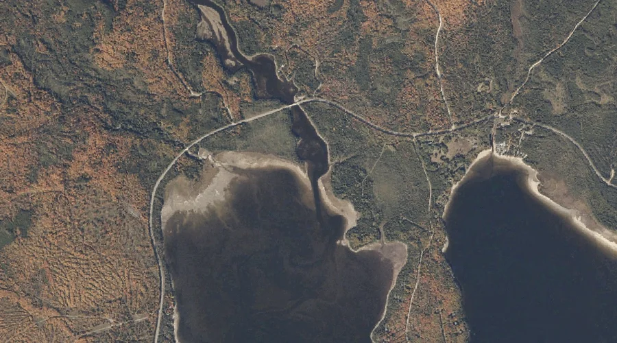
Plain Pond is a lake in Oxford County, Maine, located about 42.7 miles south-southwest of Chapman Inn in Bethel, Maine. It appears on the USGS Kezar Falls topographic…
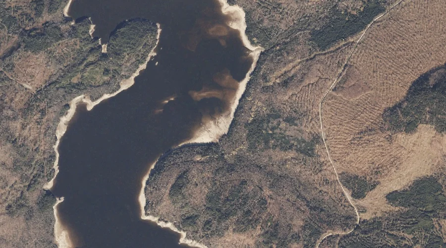
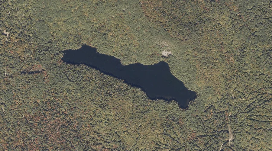
Mine Pond is a lake in Oxford County, Maine, located about 42.2 miles south-southwest of Chapman Inn in Bethel, Maine. It appears on the USGS Kezar Falls topographic…
Cold Brook is a stream in Oxford County, Maine, located about 42.3 miles north of Chapman Inn in Bethel, Maine. It appears on the USGS Kennebago topographic quadrangle.
Cold Brook is a stream in Oxford County, Maine, located about 42.3 miles north-northwest of Chapman Inn in Bethel, Maine. It appears on the USGS Wilsons Mills topographic…
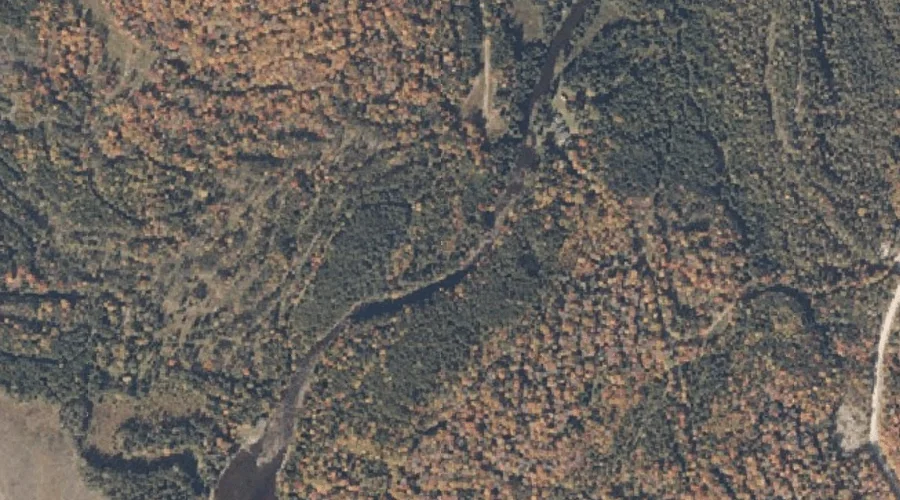
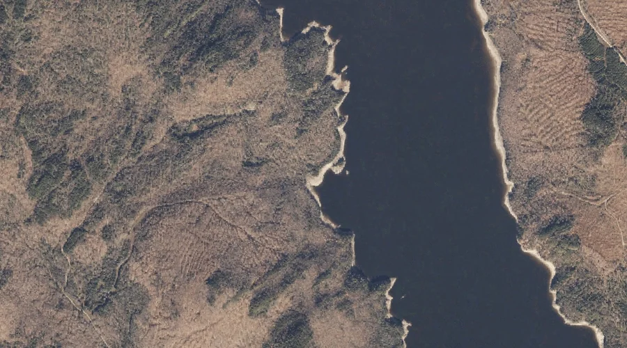
Cupsuptic River is a stream in Oxford County, Maine, located about 41.9 miles north of Chapman Inn in Bethel, Maine. It appears on the USGS Kennebago topographic quadrangle.
Deer Mountain is a summit in Oxford County, Maine, located about 42.0 miles north of Chapman Inn in Bethel, Maine. It appears on the USGS Lincoln Pond topographic…