 Aerial imagery: USGS National Map (public domain)
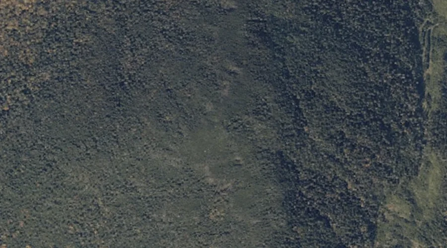
Deer Mountain — Summits 42.0 Miles N of Chapman Inn
Oxford County, Maine · USGS Lincoln Pond Quadrangle · GNIS 564996
42.0 miles north of Chapman Inn, on the USGS Lincoln Pond topographic quadrangle, Deer Mountain is a summit recorded in Oxford County, Maine by the federal Geographic Names Information System.
Wikidata short description: “mountain in United States of America”
Landmark Profile
Classification & USGS reference
The USGS Lincoln Pond 7.5-minute topographic quadrangle places Deer Mountain in Oxford County, Maine (FIPS 23/017), classified as a summit in the federal GNIS (Feature ID 564996). Last revised by the Board on Geographic Names on 07/02/2022.
Coordinates & physical setting
Deer Mountain sits at 45.00510° N, 70.92391° W (DMS 45°00′18″ N, 70°55′26″ W).
Other summits in Oxford County, Maine
Oxford County, ME contains 438 summits catalogued in the USGS Geographic Names Information System, counting Deer Mountain itself. The ones closest to Deer Mountain:
| Feature | USGS Quadrangle | Elevation | Distance |
|---|---|---|---|
| Big Buck Mountain | Lincoln Pond | — | 4.1 mi |
| Emerys Misery | Wilsons Mills | — | 4.7 mi |
| Parker Hill | Wilsons Mills | — | 5.1 mi |
| Observatory Mountain | Richardson Pond | — | 5.5 mi |
| Parker Hill | Bosebuck Mountain | — | 5.5 mi |
| Green Top | Lincoln Pond | — | 6.1 mi |
| Burnt Mountain | Kennebago | — | 6.4 mi |
| Low Aziscohos Mountain | Richardson Pond | — | 6.9 mi |
| Aziscohos Mountain | Wilsons Mills | — | 7.3 mi |
| Round Mountain | Richardson Pond | — | 8.8 mi |
Features on the USGS Lincoln Pond Quadrangle
The Lincoln Pond 7.5-minute topographic quadrangle holds 13 catalogued natural features alongside Deer Mountain. A sampling nearest to this location:
| Feature | Type | County | Offset |
|---|---|---|---|
| Lincoln Pond | Lakes | Oxford County, ME | 3.9 mi |
| Big Buck Mountain | Summits | Oxford County, ME | 4.1 mi |
| Fox Pond | Lakes | Oxford County, ME | 4.4 mi |
| Portage Brook | Streams | Oxford County, ME | 5 mi |
| Big Falls | Waterfalls | Oxford County, ME | 5.5 mi |
| Lost Brook | Streams | Oxford County, ME | 5.6 mi |
| Hurricane Brook | Streams | Oxford County, ME | 5.9 mi |
| Green Top | Summits | Oxford County, ME | 6.1 mi |
| Hammel Brook | Streams | Oxford County, ME | 6.6 mi |
| Twin Brook | Streams | Oxford County, ME | 6.8 mi |
Visiting from Chapman Inn
Distance, bearing & drive time
Chapman Inn sits 42.0 miles north (bearing N) of Deer Mountain. At moderate back-road speeds the drive runs about 72 minutes — comfortably inside a half-day outing window after breakfast.
Best time to visit
Accessible May through November in most years. Being this far north (lat 45.005°), first snows typically arrive by mid-October and linger into early May — narrow the window accordingly. At 42.0 miles from the Inn, block the full day — sunrise start, late return, packed meals. Conditions at Deer Mountain track the nearby Cold Brook stream (2.8 mi away) closely — if that is runnable, so is this.
Nearest features to Deer Mountain
| Feature | Type | County | Distance |
|---|---|---|---|
| Cold Brook | Streams | Oxford County, ME | 2.8 mi |
| Barney Brook | Streams | Oxford County, ME | 3 mi |
| Otter Brook | Streams | Oxford County, ME | 3.2 mi |
| Beaver Brook | Streams | Oxford County, ME | 3.5 mi |
| Cupsuptic River | Streams | Oxford County, ME | 3.7 mi |
Frequently Asked Questions
Where is Deer Mountain located?
Deer Mountain is in Oxford County, Maine, approximately 42.0 miles north of Chapman Inn in Bethel, Maine. It appears on the USGS Lincoln Pond topographic quadrangle.
How far is Deer Mountain from Chapman Inn?
The drive runs about 72 minutes, 42.0 miles north (bearing N) of the Inn.
What type of natural feature is Deer Mountain?
The U.S. Geological Survey classifies Deer Mountain as a summit, catalogued under GNIS Feature ID 564996 on the Lincoln Pond quadrangle.
When is the best time to visit Deer Mountain?
Accessible May through November in most years.
How many other summits are in Oxford County, Maine?
GNIS lists 437 other summits in Oxford County, Maine.
Wikidata: Q33138180.