Portage Brook is a stream in Oxford County, Maine, located about 46.5 miles north of Chapman Inn in Bethel, Maine. It appears on the USGS Lincoln Pond topographic…
Big Buck Mountain is a summit in Oxford County, Maine, located about 45.9 miles north of Chapman Inn in Bethel, Maine. It appears on the USGS Lincoln Pond…
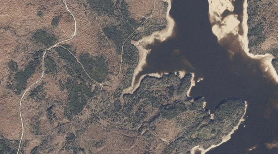
Lincoln Pond is a lake in Oxford County, Maine, located about 45.9 miles north of Chapman Inn in Bethel, Maine. It appears on the USGS Lincoln Pond topographic…
Johns Pond is a lake in Oxford County, Maine, located about 46.0 miles north of Chapman Inn in Bethel, Maine. It appears on the USGS Kennebago topographic quadrangle.
Fox Pond is a lake in Oxford County, Maine, located about 45.5 miles north of Chapman Inn in Bethel, Maine. It appears on the USGS Lincoln Pond topographic…
South Hammond Brook is a stream in Oxford County, Maine, located about 44.9 miles north-northwest of Chapman Inn in Bethel, Maine. It appears on the USGS Bosebuck Mountain…
Beaver Brook is a stream in Oxford County, Maine, located about 44.8 miles north of Chapman Inn in Bethel, Maine. It appears on the USGS Kennebago topographic quadrangle.
South Brook is a stream in Oxford County, Maine, located about 44.6 miles north of Chapman Inn in Bethel, Maine. It appears on the USGS Kennebago topographic quadrangle.
Daddys Ridge is a ridge in Oxford County, Maine, located about 44.5 miles north of Chapman Inn in Bethel, Maine. It appears on the USGS Kennebago topographic quadrangle.
Toothaker Brook Number One is a stream in Oxford County, Maine, located about 44.4 miles north of Chapman Inn in Bethel, Maine. It appears on the USGS Kennebago…