Fessenden Hill is a summit in Oxford County, Maine, located about 29.3 miles south of Chapman Inn in Bethel, Maine. It appears on the USGS Hiram topographic quadrangle.
Rand Brook is a stream in Oxford County, Maine, located about 29.4 miles north of Chapman Inn in Bethel, Maine. It appears on the USGS Middle Dam topographic…
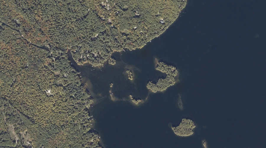
Pine Island is a island in Oxford County, Maine, located about 29.4 miles north of Chapman Inn in Bethel, Maine. It appears on the USGS Metallak Mountain topographic…
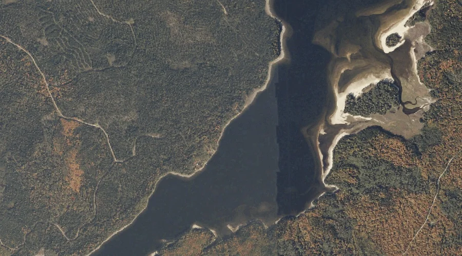
Rapid River is a stream in Oxford County, Maine, located about 29.1 miles north-northwest of Chapman Inn in Bethel, Maine. It appears on the USGS Umbagog Lake North…
Oak Hill is a summit in Oxford County, Maine, located about 29.1 miles south-southwest of Chapman Inn in Bethel, Maine. It appears on the USGS Fryeburg topographic quadrangle.
Poplar Ridge is a ridge in Oxford County, Maine, located about 29.2 miles south-southeast of Chapman Inn in Bethel, Maine. It appears on the USGS Casco topographic quadrangle.
Wacipi Island is a island in Oxford County, Maine, located about 29.2 miles south-southeast of Chapman Inn in Bethel, Maine. It appears on the USGS Mechanic Falls topographic…
Birch Island is a island in Oxford County, Maine, located about 29.3 miles south-southeast of Chapman Inn in Bethel, Maine. It appears on the USGS Mechanic Falls topographic…
Metallak Brook is a stream in Oxford County, Maine, located about 29.3 miles north of Chapman Inn in Bethel, Maine. It appears on the USGS Metallak Mountain topographic…
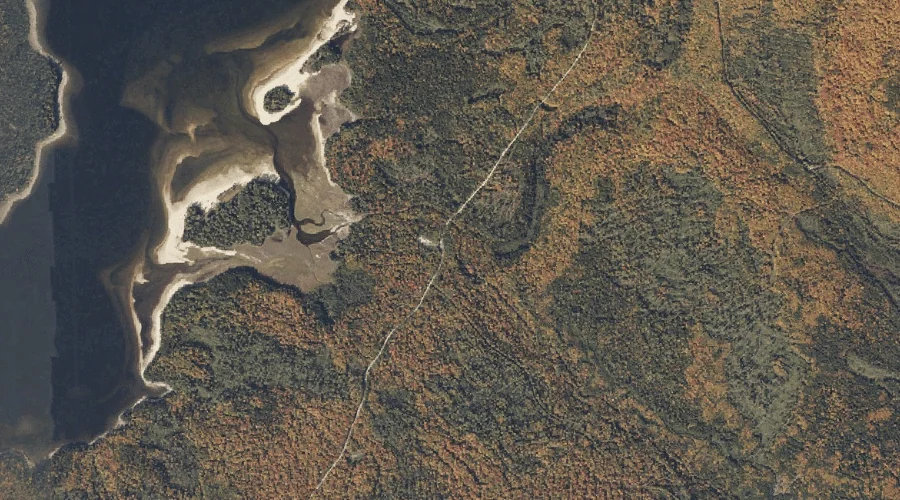
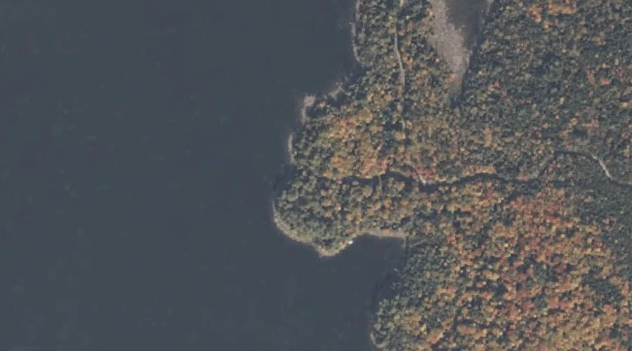
Pine Point is a cape in Oxford County, Maine, located about 29.3 miles north-northwest of Chapman Inn in Bethel, Maine. It appears on the USGS Umbagog Lake North…