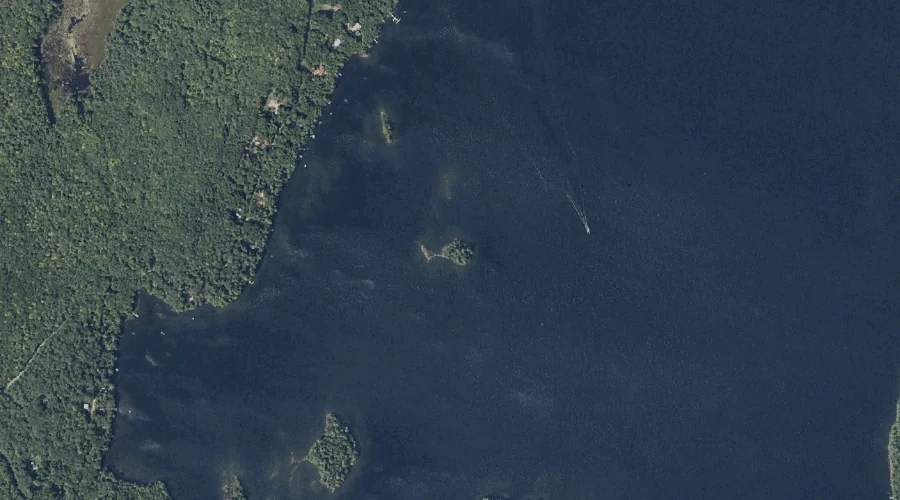
Gooseneck Island is a island in Kennebec County, Maine, located about 37.7 miles east of Chapman Inn in Bethel, Maine. It appears on the USGS Fayette topographic quadrangle.
Norris Hill is a summit in Kennebec County, Maine, located about 37.7 miles east-southeast of Chapman Inn in Bethel, Maine. It appears on the USGS Monmouth topographic quadrangle.
Ward Hill is a summit in Kennebec County, Maine, located about 37.6 miles east-southeast of Chapman Inn in Bethel, Maine. It appears on the USGS Wayne topographic quadrangle.
Spruce Island is a island in Kennebec County, Maine, located about 37.5 miles east of Chapman Inn in Bethel, Maine. It appears on the USGS Fayette topographic quadrangle.
Turtle Island is a island in Kennebec County, Maine, located about 37.3 miles east of Chapman Inn in Bethel, Maine. It appears on the USGS Fayette topographic quadrangle.
Causeway Island is a island in Kennebec County, Maine, located about 37.3 miles east of Chapman Inn in Bethel, Maine. It appears on the USGS Fayette topographic quadrangle.
Echo Island is a island in Kennebec County, Maine, located about 37.4 miles east of Chapman Inn in Bethel, Maine. It appears on the USGS Fayette topographic quadrangle.
Joes Island is a island in Kennebec County, Maine, located about 37.4 miles east of Chapman Inn in Bethel, Maine. It appears on the USGS Wayne topographic quadrangle.
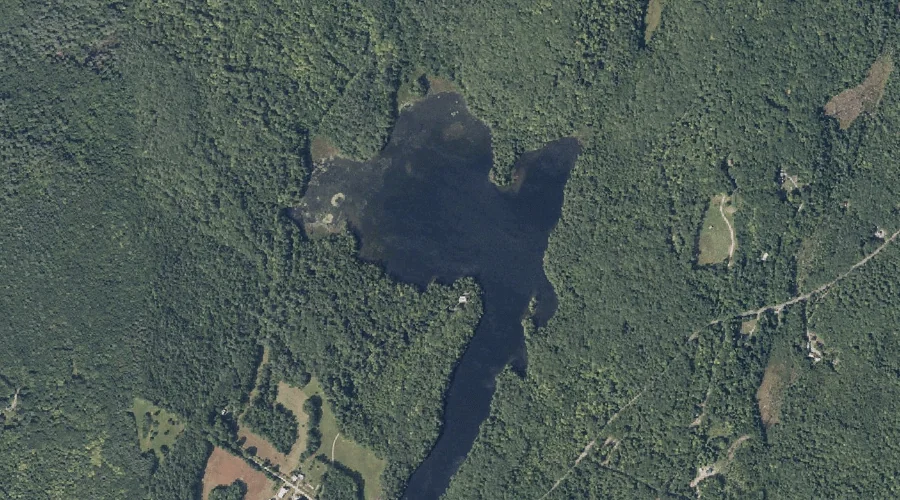
Egypt Pond is a lake in Kennebec County, Maine, located about 37.3 miles east-northeast of Chapman Inn in Bethel, Maine. It appears on the USGS Farmington Falls topographic…
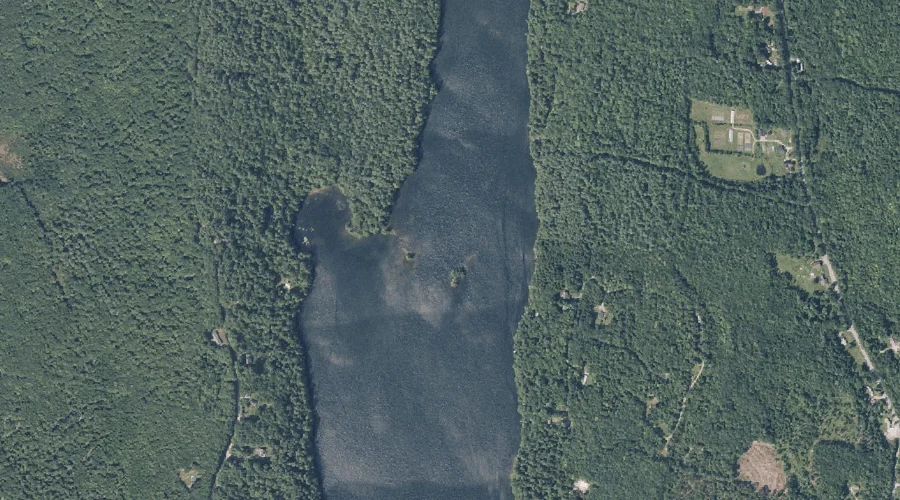
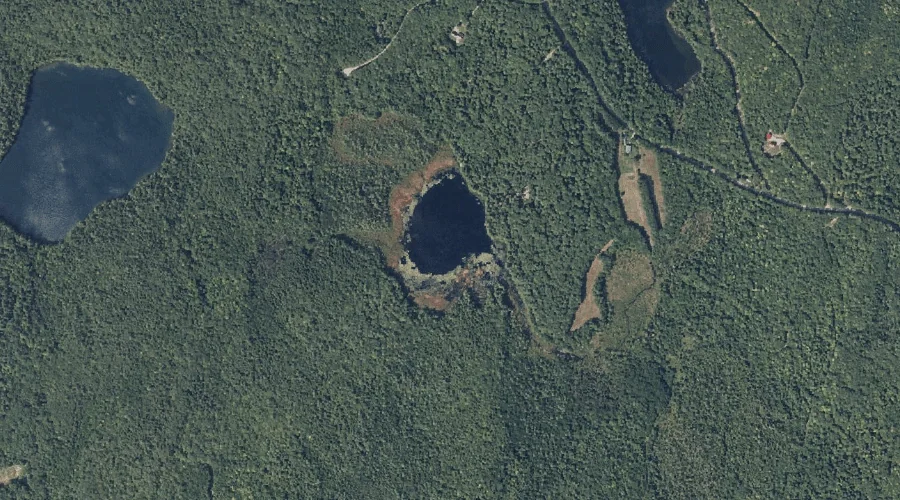
Cranberry Pond is a lake in Kennebec County, Maine, located about 37.1 miles east of Chapman Inn in Bethel, Maine. It appears on the USGS Fayette topographic quadrangle.