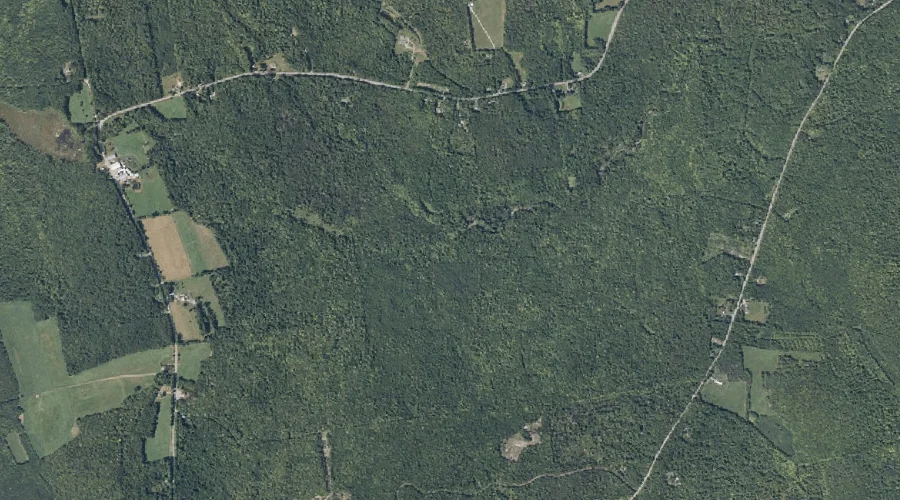
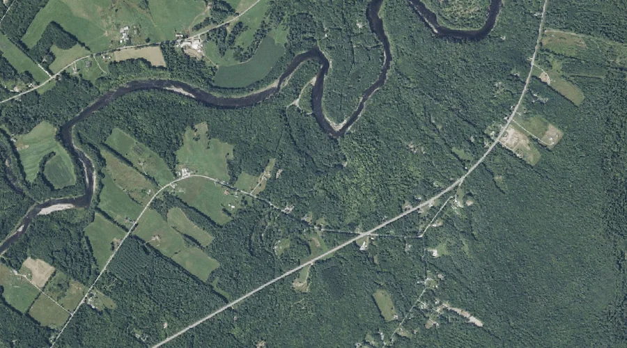
Fish Brook is a stream in Franklin County, Maine, located about 44.0 miles east-northeast of Chapman Inn in Bethel, Maine. It appears on the USGS New Vineyard topographic…
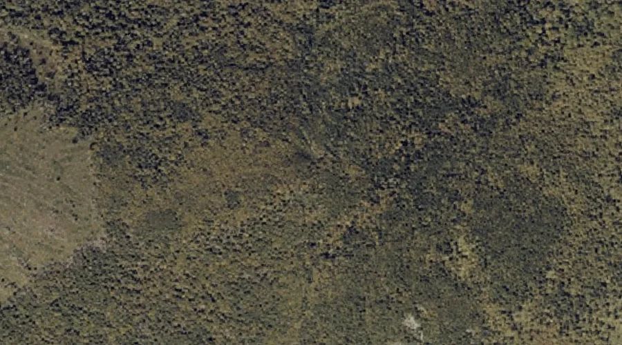
Caswell Mountain is a summit in Franklin County, Maine, located about 44.0 miles northeast of Chapman Inn in Bethel, Maine. It appears on the USGS New Vineyard topographic…
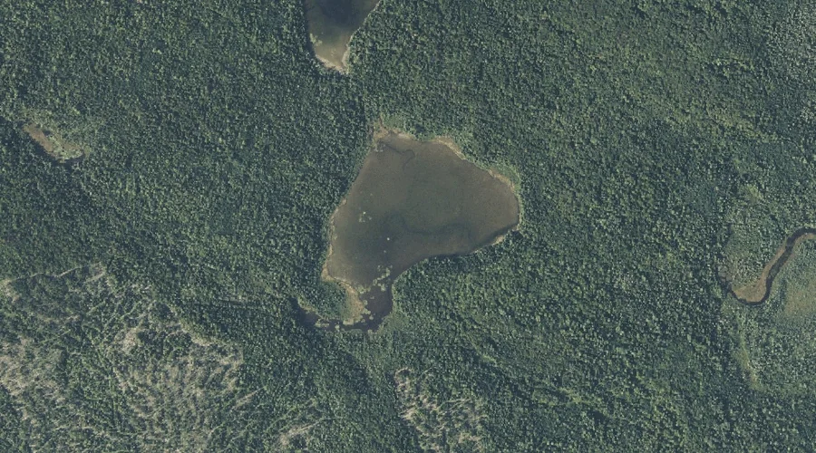
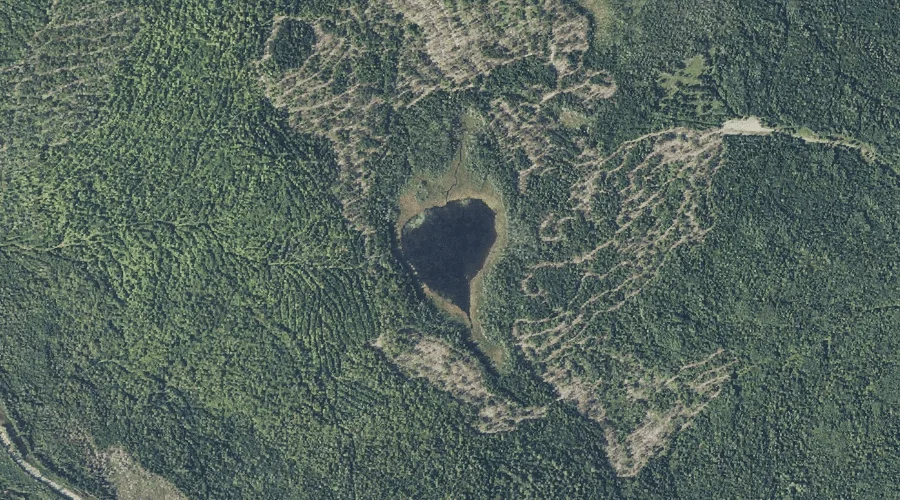
Bauds Pond is a reservoir in Franklin County, Maine, located about 43.9 miles northeast of Chapman Inn in Bethel, Maine. It appears on the USGS New Vineyard topographic…
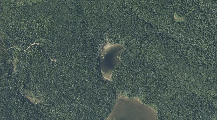
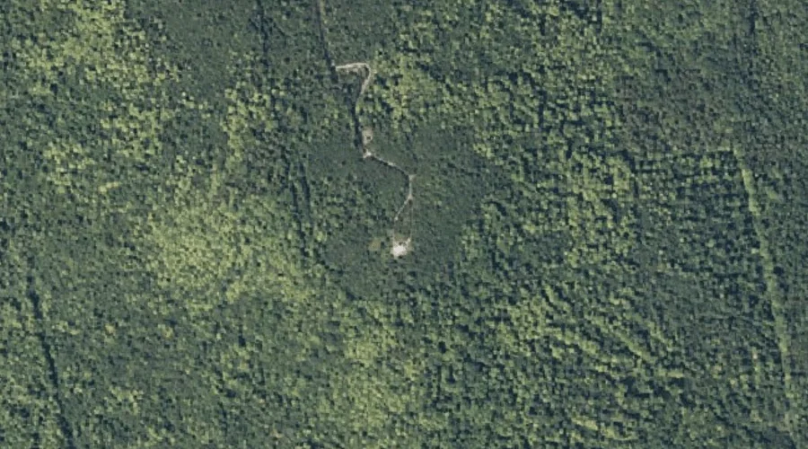
Little Greely Pond is a lake in Franklin County, Maine, located about 43.9 miles north of Chapman Inn in Bethel, Maine. It appears on the USGS Quill Hill…
Fillibrown Brook is a stream in Franklin County, Maine, located about 43.7 miles east-northeast of Chapman Inn in Bethel, Maine. It appears on the USGS Mercer topographic quadrangle.
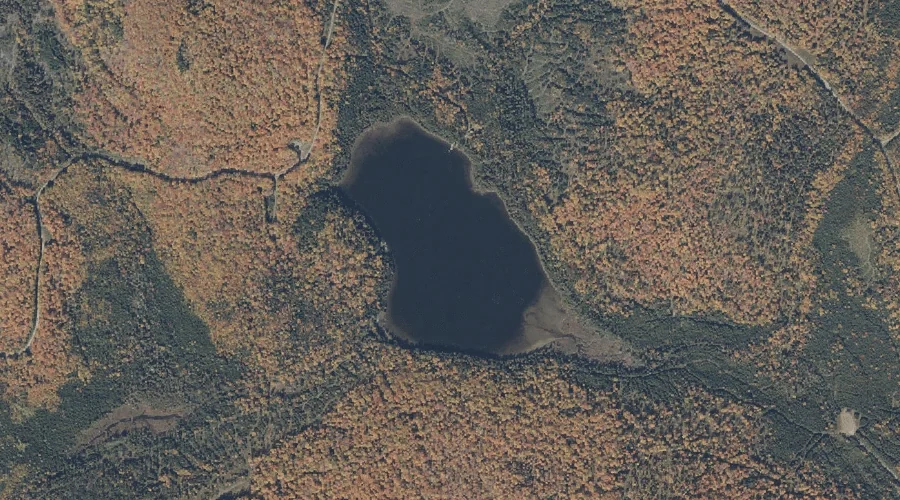
Greely Pond is a lake in Franklin County, Maine, located about 43.5 miles north of Chapman Inn in Bethel, Maine. It appears on the USGS Quill Hill topographic…
Farmer Mountain is a summit in Franklin County, Maine, located about 43.6 miles north-northeast of Chapman Inn in Bethel, Maine. It appears on the USGS Mount Abraham topographic…
Bannock Mountain is a summit in Franklin County, Maine, located about 43.3 miles east-northeast of Chapman Inn in Bethel, Maine. It appears on the USGS New Sharon topographic…
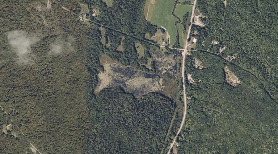
Dill Pond is a lake in Franklin County, Maine, located about 43.4 miles north-northeast of Chapman Inn in Bethel, Maine. It appears on the USGS Quill Hill topographic…
Kamankeag Pond is a lake in Franklin County, Maine, located about 43.4 miles north of Chapman Inn in Bethel, Maine. It appears on the USGS Kennebago topographic quadrangle.