Caribou Pond is a lake in Franklin County, Maine, located about 46.6 miles north-northeast of Chapman Inn in Bethel, Maine. It appears on the USGS Sugarloaf Mountain topographic…
Johns Pond is a lake in Franklin County, Maine, located about 46.2 miles north of Chapman Inn in Bethel, Maine. It appears on the USGS Kennebago topographic quadrangle.
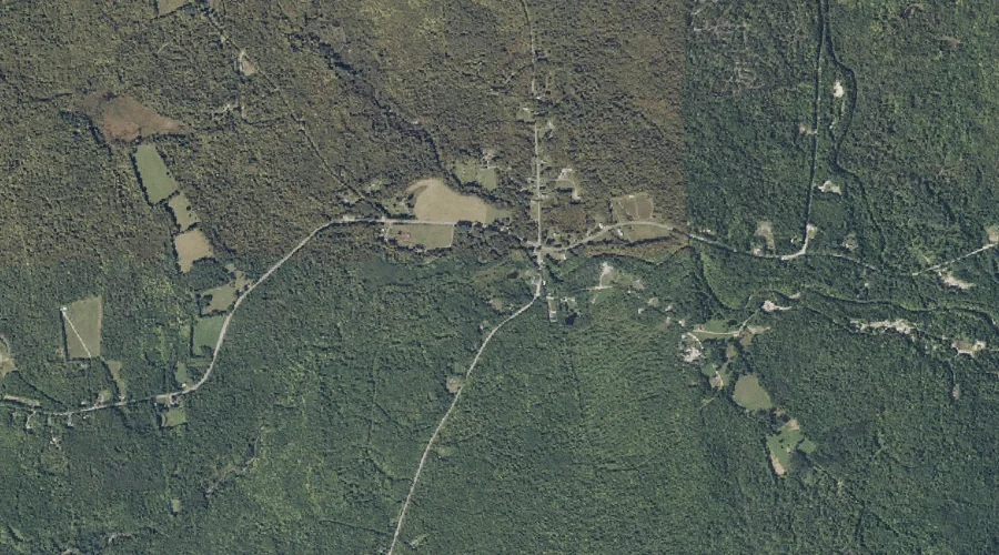
Quill Hill is a summit in Franklin County, Maine, located about 46.1 miles north-northeast of Chapman Inn in Bethel, Maine. It appears on the USGS Quill Hill topographic…
Rapid Stream is a stream in Franklin County, Maine, located about 46.2 miles northeast of Chapman Inn in Bethel, Maine. It appears on the USGS Kingfield topographic quadrangle.
Ben Gile Pond is a lake in Franklin County, Maine, located about 46.0 miles north of Chapman Inn in Bethel, Maine. It appears on the USGS Kennebago Lake…
Flatiron Pond is a lake in Franklin County, Maine, located about 46.1 miles north of Chapman Inn in Bethel, Maine. It appears on the USGS Kennebago Lake topographic…
Ick Norton Mountain is a summit in Franklin County, Maine, located about 45.5 miles northeast of Chapman Inn in Bethel, Maine. It appears on the USGS New Vineyard…
Mitchell Brook is a stream in Franklin County, Maine, located about 45.4 miles east-northeast of Chapman Inn in Bethel, Maine. It appears on the USGS New Vineyard topographic…
Mount Abraham is a summit in Franklin County, Maine, located about 45.4 miles north-northeast of Chapman Inn in Bethel, Maine. It rises to 4,050 feet above sea level,…
Barker Brook is a stream in Franklin County, Maine, located about 45.4 miles northeast of Chapman Inn in Bethel, Maine. It appears on the USGS New Vineyard topographic…