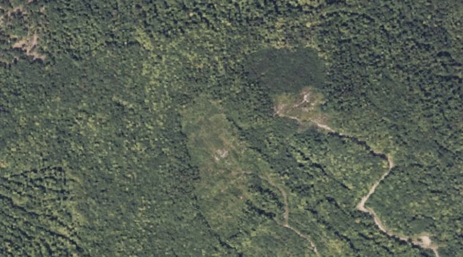
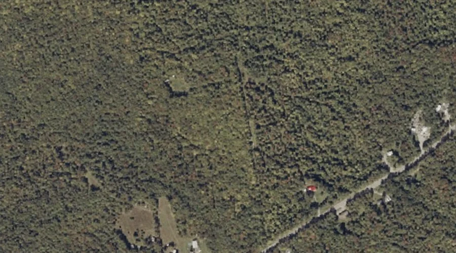
Little Mountain is a summit in Franklin County, Maine, located about 44.9 miles northeast of Chapman Inn in Bethel, Maine. It appears on the USGS New Vineyard topographic…
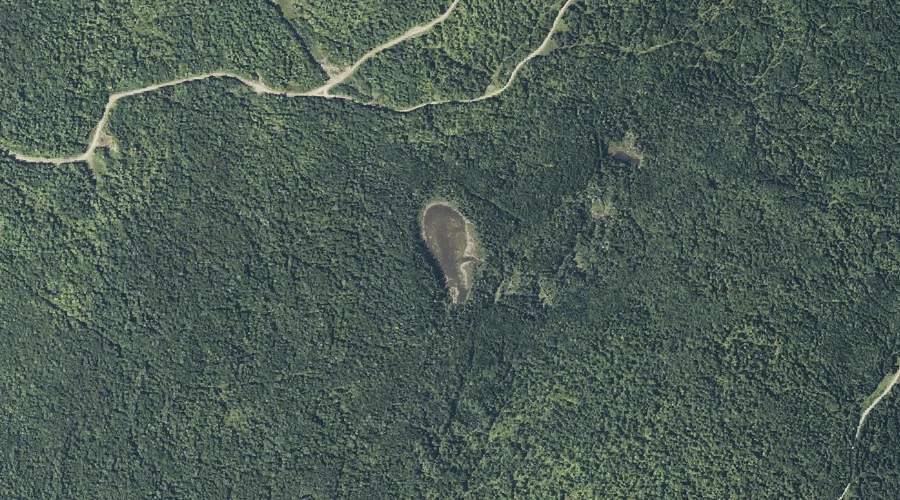
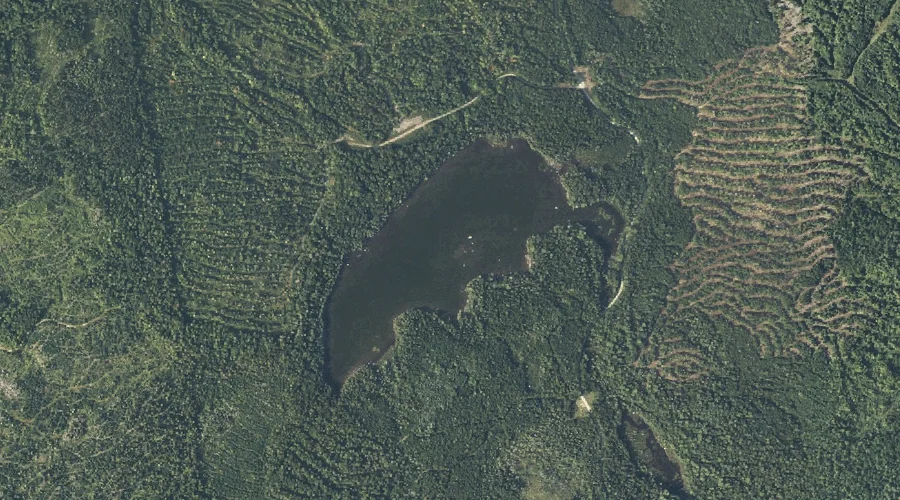
Quill Pond is a lake in Franklin County, Maine, located about 44.9 miles north-northeast of Chapman Inn in Bethel, Maine. It appears on the USGS Quill Hill topographic…
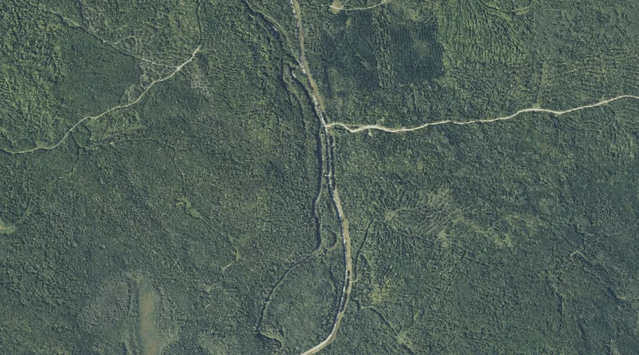
Quill Pond Brook is a stream in Franklin County, Maine, located about 44.7 miles north-northeast of Chapman Inn in Bethel, Maine. It appears on the USGS Quill Hill…
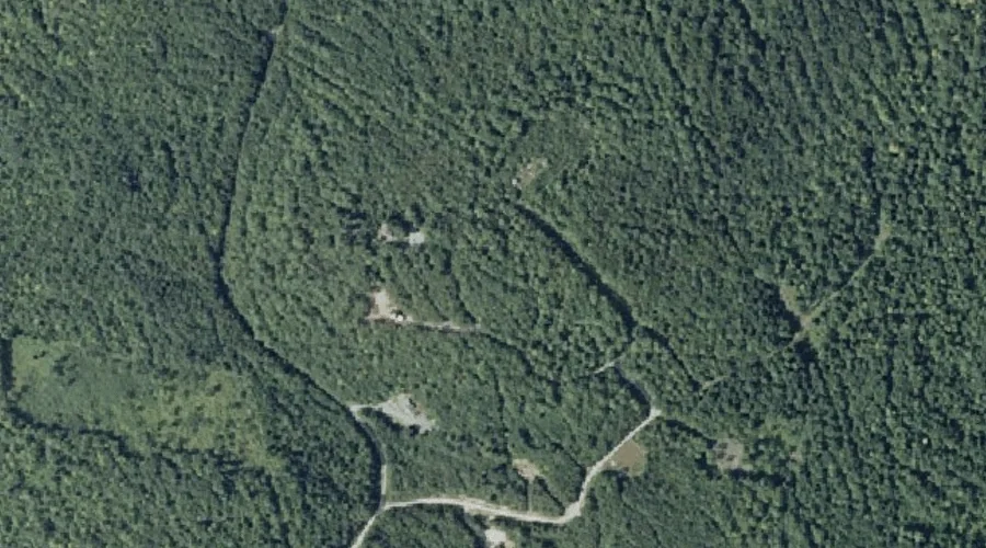
Lone Mountain is a summit in Franklin County, Maine, located about 44.6 miles north-northeast of Chapman Inn in Bethel, Maine. It appears on the USGS Mount Abraham topographic…
Foster Hill is a summit in Franklin County, Maine, located about 44.3 miles northeast of Chapman Inn in Bethel, Maine. It appears on the USGS Kingfield topographic quadrangle.
Cow Pond is a lake in Franklin County, Maine, located about 44.3 miles north of Chapman Inn in Bethel, Maine. It appears on the USGS Kennebago Lake topographic…
Hampshire Hill is a summit in Franklin County, Maine, located about 44.3 miles east-northeast of Chapman Inn in Bethel, Maine. It appears on the USGS Belgrade Lakes topographic…
Boardman Mountain is a summit in Franklin County, Maine, located about 44.2 miles northeast of Chapman Inn in Bethel, Maine. It appears on the USGS New Vineyard topographic…
Spotted Mountain is a summit in Franklin County, Maine, located about 44.1 miles north of Chapman Inn in Bethel, Maine. It appears on the USGS Kennebago Lake topographic…
Redington Pond is a lake in Franklin County, Maine, located about 43.9 miles north-northeast of Chapman Inn in Bethel, Maine. It appears on the USGS Redington topographic quadrangle.