 Aerial imagery: USGS National Map (public domain)
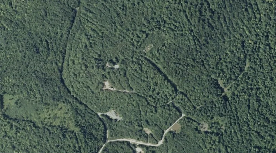
Hampshire Hill — Summits 44.3 Miles ENE of Chapman Inn
Franklin County, Maine · USGS Belgrade Lakes Quadrangle · GNIS 567553
Catalogued on the USGS Belgrade Lakes quadrangle in Franklin County, Maine, Hampshire Hill — a summit — lies 44.3 miles east-northeast of Chapman Inn.
Wikidata short description: “mountain in United States of America”
Landmark Profile
Classification & USGS reference
Catalogued under GNIS Feature ID 567553, Hampshire Hill is recorded as a summit on the USGS Belgrade Lakes quadrangle in Franklin County, Maine (FIPS 23/007). Last revised by the Board on Geographic Names on 06/04/2022.
Coordinates & physical setting
Hampshire Hill sits at 44.61723° N, 69.94030° W (DMS 44°37′02″ N, 69°56′25″ W).
Other summits in Franklin County, Maine
Franklin County, ME contains 129 summits catalogued in the USGS Geographic Names Information System, counting Hampshire Hill itself. The ones closest to Hampshire Hill:
| Feature | USGS Quadrangle | Elevation | Distance |
|---|---|---|---|
| York Hill | Belgrade Lakes | — | 2.2 mi |
| Cape Cod Hill | Farmington Falls | — | 3.7 mi |
| Old Bluff Hill | Farmington Falls | — | 6.6 mi |
| Blabon Hill | Farmington Falls | — | 7.1 mi |
| Zion Hill | Farmington Falls | — | 8.4 mi |
| Perham Hill | New Sharon | — | 9 mi |
| Sanborn Hill | Farmington Falls | — | 9.3 mi |
| Bannock Mountain | New Sharon | — | 9.4 mi |
| Knowles Hill | Fayette | — | 10.4 mi |
| Titcomb Hill | Farmington | — | 11 mi |
Features on the USGS Belgrade Lakes Quadrangle
The Belgrade Lakes 7.5-minute topographic quadrangle holds 45 catalogued natural features alongside Hampshire Hill. A sampling nearest to this location:
| Feature | Type | County | Offset |
|---|---|---|---|
| Martin Hill | Summits | Kennebec County, ME | 1.5 mi |
| Ladd Pond | Lakes | Somerset County, ME | 2 mi |
| Morrill Hill | Summits | Kennebec County, ME | 2.1 mi |
| York Hill | Summits | Franklin County, ME | 2.2 mi |
| Roberts Hill | Summits | Kennebec County, ME | 2.4 mi |
| McIntire Pond | Lakes | Franklin County, ME | 2.6 mi |
| Watson Pond | Lakes | Kennebec County, ME | 3.1 mi |
| Sanders Hill | Summits | Kennebec County, ME | 3.3 mi |
| French Mountain | Summits | Kennebec County, ME | 3.4 mi |
| Kidder Pond | Lakes | Kennebec County, ME | 3.4 mi |
Visiting from Chapman Inn
Distance, bearing & drive time
A 76-minute drive along back roads separates the front door of Chapman Inn from Hampshire Hill — 44.3 miles east-northeast as the crow flies, on compass bearing ENE.
Best time to visit
Accessible May through November in most years. Being this far north (lat 44.617°), first snows typically arrive by mid-October and linger into early May — narrow the window accordingly. At 44.3 miles from the Inn, block the full day — sunrise start, late return, packed meals. Conditions at Hampshire Hill track the nearby Martin Hill summit (1.5 mi away) closely — if that is runnable, so is this.
Nearest features to Hampshire Hill
| Feature | Type | County | Distance |
|---|---|---|---|
| Martin Hill | Summits | Kennebec County, ME | 1.5 mi |
| Ladd Pond | Lakes | Somerset County, ME | 2 mi |
| Hilton Brook | Streams | Somerset County, ME | 2 mi |
| Morrill Hill | Summits | Kennebec County, ME | 2.1 mi |
| York Hill | Summits | Franklin County, ME | 2.2 mi |
Frequently Asked Questions
Where is Hampshire Hill located?
Hampshire Hill is in Franklin County, Maine, approximately 44.3 miles east-northeast of Chapman Inn in Bethel, Maine. It appears on the USGS Belgrade Lakes topographic quadrangle.
How far is Hampshire Hill from Chapman Inn?
The drive runs about 76 minutes, 44.3 miles east-northeast (bearing ENE) of the Inn.
What type of natural feature is Hampshire Hill?
The U.S. Geological Survey classifies Hampshire Hill as a summit, catalogued under GNIS Feature ID 567553 on the Belgrade Lakes quadrangle.
When is the best time to visit Hampshire Hill?
Accessible May through November in most years.
How many other summits are in Franklin County, Maine?
GNIS lists 128 other summits in Franklin County, Maine.
Wikidata: Q33139236.