 Aerial imagery: USGS National Map (public domain)
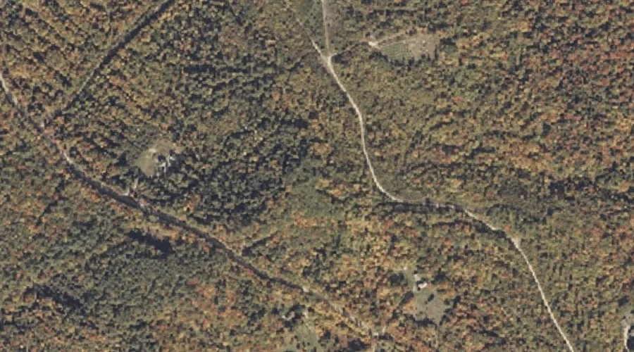
Storer Hill — Summits 23.0 Miles NE of Chapman Inn
Franklin County, Maine · USGS Dixfield Quadrangle · GNIS 576415
Catalogued on the USGS Dixfield quadrangle in Franklin County, Maine, Storer Hill — a summit — lies 23.0 miles northeast of Chapman Inn.
Wikidata short description: “mountain in United States of America”
Landmark Profile
Classification & USGS reference
Catalogued under GNIS Feature ID 576415, Storer Hill is recorded as a summit on the USGS Dixfield quadrangle in Franklin County, Maine (FIPS 23/007). Last revised by the Board on Geographic Names on 08/31/2022.
Coordinates & physical setting
Storer Hill sits at 44.62298° N, 70.43666° W (DMS 44°37′23″ N, 70°26′12″ W).
Other summits in Franklin County, Maine
Franklin County, ME contains 129 summits catalogued in the USGS Geographic Names Information System, counting Storer Hill itself. The ones closest to Storer Hill:
| Feature | USGS Quadrangle | Elevation | Distance |
|---|---|---|---|
| Potter Hill | Dixfield | — | 2.1 mi |
| Green Hill | Weld | — | 3.2 mi |
| Cherry Hill | Weld | — | 3.4 mi |
| Grays Mountain | Dixfield | — | 3.6 mi |
| Saddleback Mountain | Mount Blue | — | 3.9 mi |
| Cobble Hill | Weld | — | 3.9 mi |
| Lake Mountain | Rumford | — | 4.1 mi |
| Lakin Hill | Weld | — | 4.2 mi |
| Bald Mountain | Mount Blue | — | 4.6 mi |
| York Hill | Mount Blue | — | 5 mi |
Features on the USGS Dixfield Quadrangle
The Dixfield 7.5-minute topographic quadrangle holds 36 catalogued natural features alongside Storer Hill. A sampling nearest to this location:
| Feature | Type | County | Offset |
|---|---|---|---|
| Durgin Brook | Streams | Franklin County, ME | 0.9 mi |
| Podunk Pond | Lakes | Franklin County, ME | 1.8 mi |
| Potter Hill | Summits | Franklin County, ME | 2.1 mi |
| Hanscom Brook | Streams | Franklin County, ME | 2.1 mi |
| Kittredge Brook | Streams | Franklin County, ME | 2.2 mi |
| The Falls | Waterfalls | Oxford County, ME | 2.6 mi |
| Paddy Meadow Brook | Streams | Oxford County, ME | 2.7 mi |
| Siberia Meadows | Other Natural Features | Oxford County, ME | 3 mi |
| Masterman Hill | Summits | Oxford County, ME | 3 mi |
| Grays Mountain | Summits | Franklin County, ME | 3.6 mi |
Visiting from Chapman Inn
Distance, bearing & drive time
A 39-minute drive along back roads separates the front door of Chapman Inn from Storer Hill — 23.0 miles northeast as the crow flies, on compass bearing NE.
Best time to visit
Accessible May through November in most years. Being this far north (lat 44.623°), first snows typically arrive by mid-October and linger into early May — narrow the window accordingly. At 23.0 miles from the Inn, plan on a comfortable day trip with time for lunch on the road. Conditions at Storer Hill track the nearby Durgin Brook stream (0.9 mi away) closely — if that is runnable, so is this.
Nearest features to Storer Hill
| Feature | Type | County | Distance |
|---|---|---|---|
| Durgin Brook | Streams | Franklin County, ME | 0.9 mi |
| Green Brook | Streams | Franklin County, ME | 0.9 mi |
| Berry Brook | Streams | Franklin County, ME | 0.9 mi |
| Basin Brook | Streams | Franklin County, ME | 0.9 mi |
| Dunning Brook | Streams | Franklin County, ME | 1.3 mi |
Frequently Asked Questions
Where is Storer Hill located?
Storer Hill is in Franklin County, Maine, approximately 23.0 miles northeast of Chapman Inn in Bethel, Maine. It appears on the USGS Dixfield topographic quadrangle.
How far is Storer Hill from Chapman Inn?
The drive runs about 39 minutes, 23.0 miles northeast (bearing NE) of the Inn.
What type of natural feature is Storer Hill?
The U.S. Geological Survey classifies Storer Hill as a summit, catalogued under GNIS Feature ID 576415 on the Dixfield quadrangle.
When is the best time to visit Storer Hill?
Accessible May through November in most years.
How many other summits are in Franklin County, Maine?
GNIS lists 128 other summits in Franklin County, Maine.
Wikidata: Q33149622.