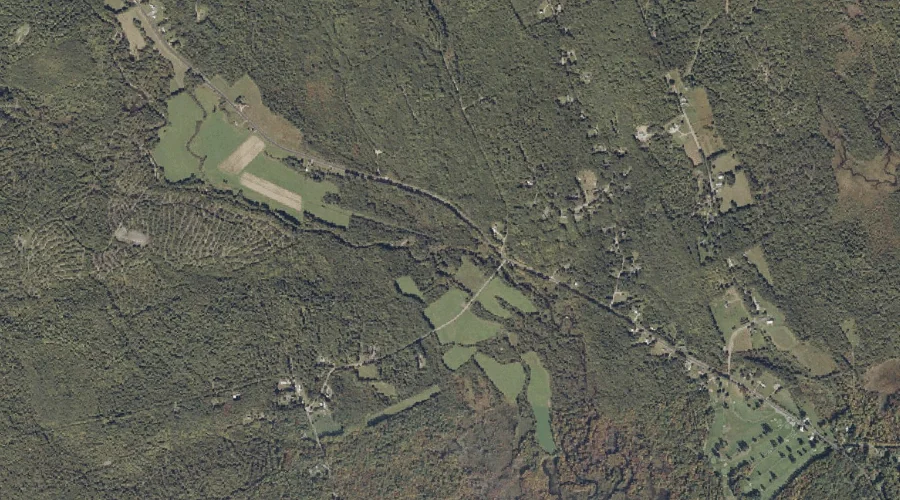
Wilson Stream is a stream in Franklin County, Maine, located about 29.7 miles east-northeast of Chapman Inn in Bethel, Maine. It appears on the USGS East Dixfield topographic…
Pine Brook is a stream in Franklin County, Maine, located about 29.6 miles east-northeast of Chapman Inn in Bethel, Maine. It appears on the USGS East Dixfield topographic…
Four Ponds Brook is a stream in Franklin County, Maine, located about 29.7 miles north of Chapman Inn in Bethel, Maine. It appears on the USGS Houghton topographic…
Wilson Pond is a lake in Franklin County, Maine, located about 29.7 miles east-northeast of Chapman Inn in Bethel, Maine. It appears on the USGS East Dixfield topographic…
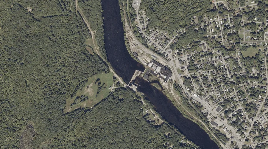
Androscoggin River Reservoir is a reservoir in Franklin County, Maine, located about 29.5 miles east of Chapman Inn in Bethel, Maine. It appears on the USGS Livermore Falls…
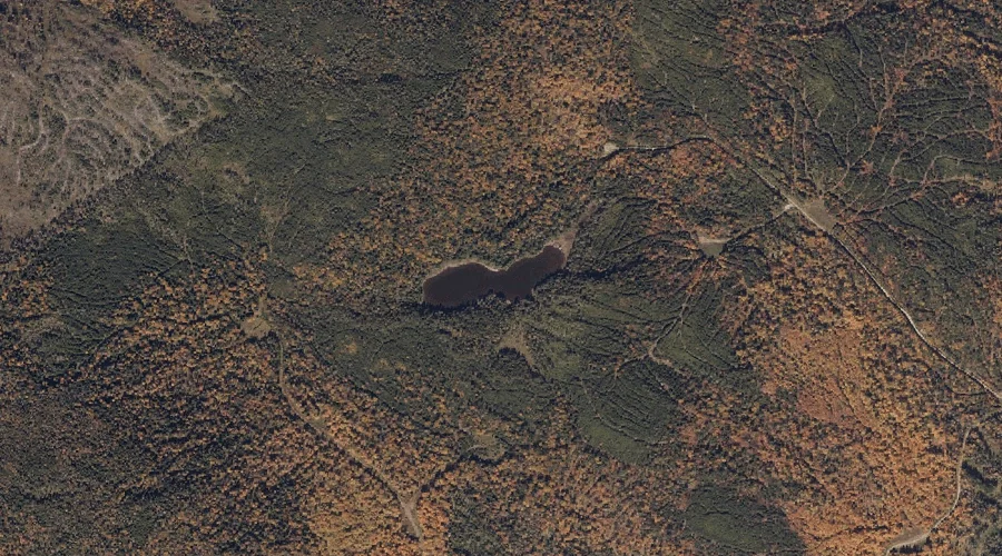
Southwest Pond is a lake in Franklin County, Maine, located about 29.5 miles north-northeast of Chapman Inn in Bethel, Maine. It appears on the USGS Jackson Mountain topographic…
Keyes Brook is a stream in Franklin County, Maine, located about 29.3 miles northeast of Chapman Inn in Bethel, Maine. It appears on the USGS Weld topographic quadrangle.
Mosquito Brook is a stream in Franklin County, Maine, located about 29.3 miles east-northeast of Chapman Inn in Bethel, Maine. It appears on the USGS Livermore Falls topographic…
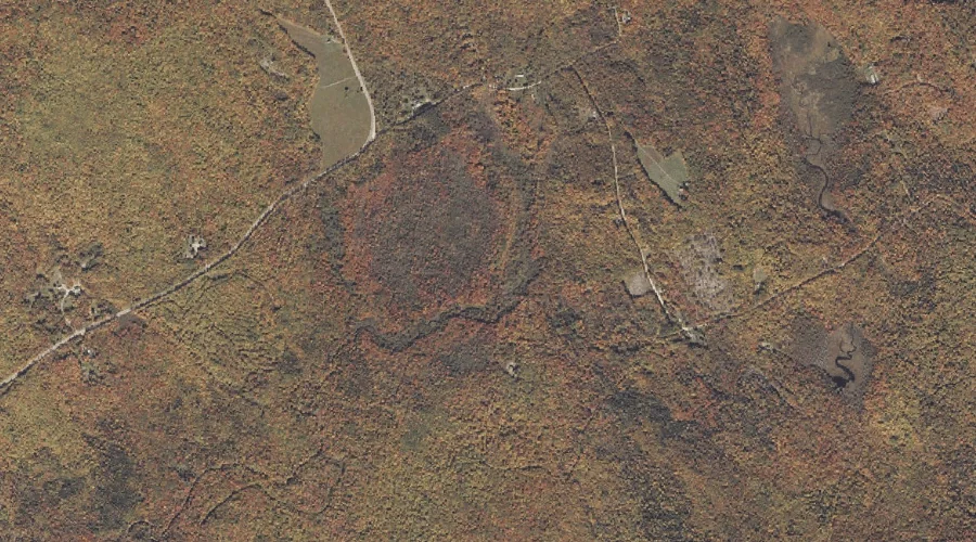
Blueberry Mountain is a summit in Franklin County, Maine, located about 29.3 miles north-northeast of Chapman Inn in Bethel, Maine. It appears on the USGS Madrid topographic quadrangle.
Bates Brook is a stream in Franklin County, Maine, located about 29.3 miles east-northeast of Chapman Inn in Bethel, Maine. It appears on the USGS East Dixfield topographic…