 Aerial imagery: USGS National Map (public domain)
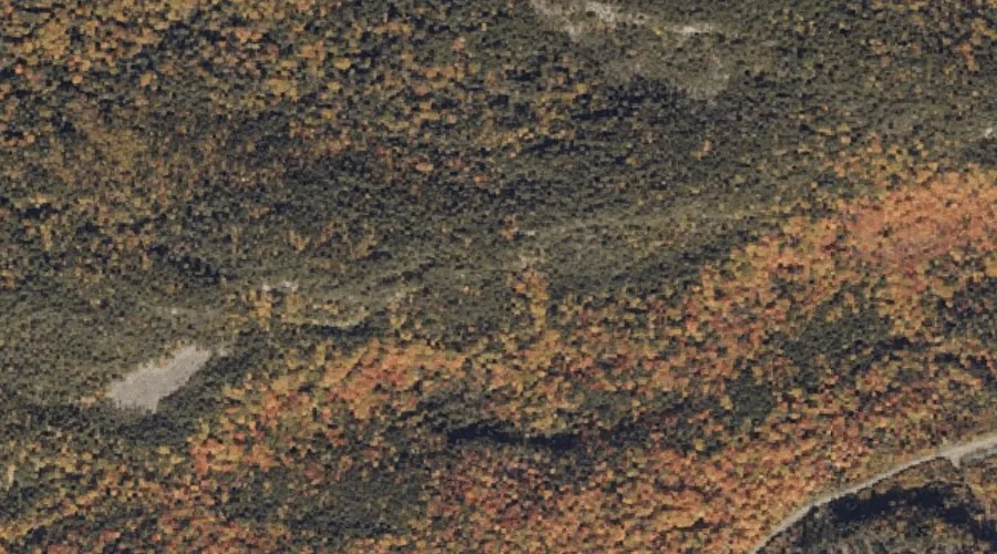
Piazza Rock — Pillars 36.8 Miles NNE of Chapman Inn
Franklin County, Maine · USGS Saddleback Mountain Quadrangle · GNIS 1908398
One of only 15 pillars catalogued within the 80 km reach of Chapman Inn, Piazza Rock lies on the USGS Saddleback Mountain quadrangle in Franklin County, Maine — 36.8 miles north-northeast of the Inn.
Landmark Profile
Classification & USGS reference
Within Franklin County, Maine, the U.S. Geological Survey lists Piazza Rock as a rock pillar on the Saddleback Mountain topographic quadrangle (FIPS 23/007), under Feature ID 1908398. Last revised by the Board on Geographic Names on 10/12/2023.
Coordinates & physical setting
Piazza Rock sits at 44.90508° N, 70.53139° W (DMS 44°54′18″ N, 70°31′53″ W).
Features on the USGS Saddleback Mountain Quadrangle
The Saddleback Mountain 7.5-minute topographic quadrangle holds 24 catalogued natural features alongside Piazza Rock. A sampling nearest to this location:
| Feature | Type | County | Offset |
|---|---|---|---|
| Ethel Pond | Lakes | Franklin County, ME | 0.5 mi |
| Eddy Pond | Lakes | Franklin County, ME | 1 mi |
| Moose and Deer Pond | Lakes | Franklin County, ME | 1.3 mi |
| Little Saddleback Pond | Lakes | Franklin County, ME | 1.3 mi |
| Sandy River Ponds | Lakes | Franklin County, ME | 1.5 mi |
| Midway Pond | Lakes | Franklin County, ME | 1.9 mi |
| Perry Mountain | Summits | Franklin County, ME | 2.1 mi |
| Perry Pond | Lakes | Franklin County, ME | 2.4 mi |
| Saddleback Mountain | Summits | Franklin County, ME | 2.5 mi |
| City Pond | Reservoirs | Franklin County, ME | 2.8 mi |
Ranking & rarity
- Among the 15 pillars catalogued within 80 km of Chapman Inn, Piazza Rock ranks #11 by proximity to the Inn (closer than 27%).
- This is one of only 15 pillars catalogued within Chapman Inn’s 80 km reach — a rare classification in the local landscape.
Visiting from Chapman Inn
Distance, bearing & drive time
Follow the compass bearing NNE out of Bethel for 36.8 miles (north-northeast) and you reach Piazza Rock; at typical rural speeds the trip runs roughly 63 minutes.
Best time to visit
Accessible May through November in most years. Being this far north (lat 44.905°), first snows typically arrive by mid-October and linger into early May — narrow the window accordingly. At 36.8 miles from the Inn, block the full day — sunrise start, late return, packed meals. Conditions at Piazza Rock track the nearby Ethel Pond lake (0.5 mi away) closely — if that is runnable, so is this.
Nearest features to Piazza Rock
| Feature | Type | County | Distance |
|---|---|---|---|
| Ethel Pond | Lakes | Franklin County, ME | 0.5 mi |
| Eddy Pond | Lakes | Franklin County, ME | 1 mi |
| Moose and Deer Pond | Lakes | Franklin County, ME | 1.3 mi |
| Little Saddleback Pond | Lakes | Franklin County, ME | 1.3 mi |
| Sandy River Ponds | Lakes | Franklin County, ME | 1.5 mi |
Frequently Asked Questions
Where is Piazza Rock located?
Piazza Rock is in Franklin County, Maine, approximately 36.8 miles north-northeast of Chapman Inn in Bethel, Maine. It appears on the USGS Saddleback Mountain topographic quadrangle.
How far is Piazza Rock from Chapman Inn?
The drive runs about 63 minutes, 36.8 miles north-northeast (bearing NNE) of the Inn.
What type of natural feature is Piazza Rock?
The U.S. Geological Survey classifies Piazza Rock as a rock pillar, catalogued under GNIS Feature ID 1908398 on the Saddleback Mountain quadrangle.
When is the best time to visit Piazza Rock?
Accessible May through November in most years.
How rare is pillars as a classification near Chapman Inn?
Only 15 pillars are catalogued within the 80 km radius of the Inn — a comparatively rare classification.