 Aerial imagery: USGS National Map (public domain)
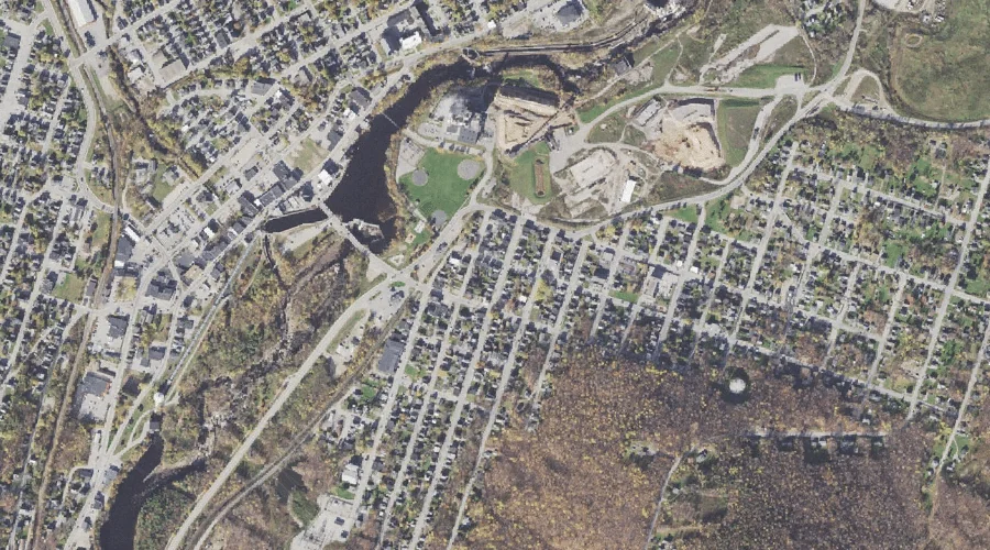
J Brodie Smith Reservoir — Reservoirs 19.5 Miles WNW of Chapman Inn
Coos County, New Hampshire · USGS Berlin Quadrangle · GNIS 1775039
Within Coos County, New Hampshire, on the USGS Berlin quadrangle, the reservoir known as J Brodie Smith Reservoir sits 19.5 miles west-northwest of Chapman Inn.
Landmark Profile
Classification & USGS reference
Within Coos County, New Hampshire, the U.S. Geological Survey lists J Brodie Smith Reservoir as a reservoir on the Berlin topographic quadrangle (FIPS 33/007), under Feature ID 1775039. Catalogued in GNIS since 01/09/1998.
Coordinates & physical setting
J Brodie Smith Reservoir sits at 44.46839° N, 71.17452° W (DMS 44°28′06″ N, 71°10′28″ W).
Other reservoirs in Coos County, New Hampshire
Coos County, NH contains 30 reservoirs catalogued in the USGS Geographic Names Information System, counting J Brodie Smith Reservoir itself. The ones closest to J Brodie Smith Reservoir:
| Feature | USGS Quadrangle | Distance |
|---|---|---|
| Androscoggin River Reservoir | Berlin | 0.8 mi |
| Cascade Brook Reservoir | Berlin | 1.3 mi |
| Androscoggin River Reservoir | Berlin | 1.3 mi |
| Androscoggin River Reservoir | Berlin | 1.5 mi |
| Cascade Mill Lagoons | Berlin | 1.7 mi |
| Berlin Reservoir | Berlin | 1.8 mi |
| Anderson Reservoir | Berlin | 2.4 mi |
| Keene Reservoir | Shelburne | 3.8 mi |
| Androscoggin River Reservoir | Berlin | 4.3 mi |
| Jericho Lake | Mount Crescent | 4.8 mi |
Features on the USGS Berlin Quadrangle
The Berlin 7.5-minute topographic quadrangle holds 38 catalogued natural features alongside J Brodie Smith Reservoir. A sampling nearest to this location:
| Feature | Type | County | Offset |
|---|---|---|---|
| Dead River | Streams | Coos County, NH | 0.4 mi |
| Mount Carberry | Summits | Coos County, NH | 0.8 mi |
| Androscoggin River Reservoir | Reservoirs | Coos County, NH | 0.8 mi |
| Cascade Brook Reservoir | Reservoirs | Coos County, NH | 1.3 mi |
| Mount Forest | Summits | Coos County, NH | 1.3 mi |
| Androscoggin River Reservoir | Reservoirs | Coos County, NH | 1.3 mi |
| Bean Brook | Streams | Coos County, NH | 1.3 mi |
| Androscoggin River Reservoir | Reservoirs | Coos County, NH | 1.5 mi |
| Mount Jasper | Summits | Coos County, NH | 1.6 mi |
| Cascade Alpine Brook | Streams | Coos County, NH | 1.7 mi |
Visiting from Chapman Inn
Distance, bearing & drive time
Follow the compass bearing WNW out of Bethel for 19.5 miles (west-northwest) and you reach J Brodie Smith Reservoir; at typical rural speeds the trip runs roughly 33 minutes.
Best time to visit
June through September for paddling and swimming; January through March for ice fishing. Being this far north (lat 44.468°), first snows typically arrive by mid-October and linger into early May — narrow the window accordingly. At 19.5 miles from the Inn, plan on a comfortable day trip with time for lunch on the road. Conditions at J Brodie Smith Reservoir track the nearby Dead River stream (0.4 mi away) closely — if that is runnable, so is this.
Nearest features to J Brodie Smith Reservoir
| Feature | Type | County | Distance |
|---|---|---|---|
| Dead River | Streams | Coos County, NH | 0.4 mi |
| Mount Carberry | Summits | Coos County, NH | 0.8 mi |
| Androscoggin River Reservoir | Reservoirs | Coos County, NH | 0.8 mi |
| Cascade Brook Reservoir | Reservoirs | Coos County, NH | 1.3 mi |
| Mount Forest | Summits | Coos County, NH | 1.3 mi |
Frequently Asked Questions
Where is J Brodie Smith Reservoir located?
J Brodie Smith Reservoir is in Coos County, New Hampshire, approximately 19.5 miles west-northwest of Chapman Inn in Bethel, Maine. It appears on the USGS Berlin topographic quadrangle.
How far is J Brodie Smith Reservoir from Chapman Inn?
The drive runs about 33 minutes, 19.5 miles west-northwest (bearing WNW) of the Inn.
What type of natural feature is J Brodie Smith Reservoir?
The U.S. Geological Survey classifies J Brodie Smith Reservoir as a reservoir, catalogued under GNIS Feature ID 1775039 on the Berlin quadrangle.
When is the best time to visit J Brodie Smith Reservoir?
June through September for paddling and swimming; January through March for ice fishing.
How many other reservoirs are in Coos County, New Hampshire?
GNIS lists 29 other reservoirs in Coos County, New Hampshire.