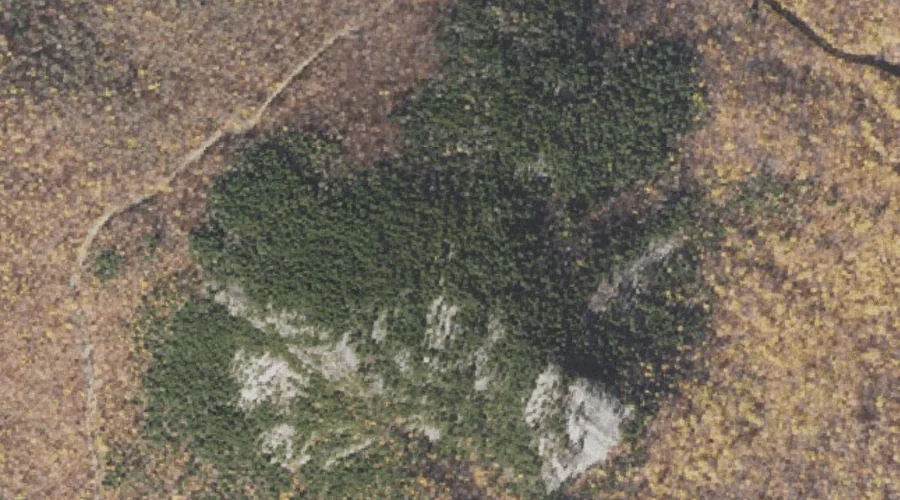
Carter Dome is a summit in Coos County, New Hampshire, located about 21.5 miles west-southwest of Chapman Inn in Bethel, Maine. It appears on the USGS Carter Dome…
Imp Brook is a stream in Coos County, New Hampshire, located about 21.6 miles west-southwest of Chapman Inn in Bethel, Maine. It appears on the USGS Carter Dome…
East Fork East Branch Saco River is a stream in Coos County, New Hampshire, located about 21.1 miles southwest of Chapman Inn in Bethel, Maine. It appears on…
Stearns Brook is a stream in Coos County, New Hampshire, located about 21.2 miles west-northwest of Chapman Inn in Bethel, Maine. It appears on the USGS Milan topographic…
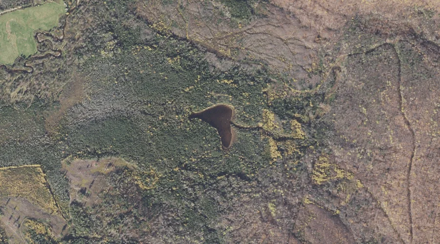
Mud Pond Lake is a lake in Coos County, New Hampshire, located about 21.2 miles northwest of Chapman Inn in Bethel, Maine. It appears on the USGS Milan…
Bald Mountain is a summit in Coos County, New Hampshire, located about 21.2 miles northwest of Chapman Inn in Bethel, Maine. It appears on the USGS Success Pond…
Pine Mountain is a summit in Coos County, New Hampshire, located about 21.2 miles west of Chapman Inn in Bethel, Maine. It appears on the USGS Carter Dome…
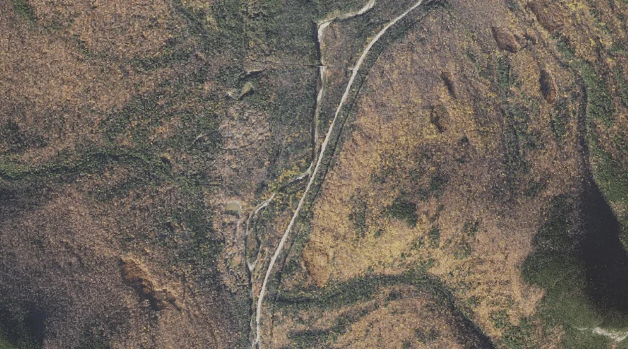
Perkins Notch is a mountain gap in Coos County, New Hampshire, located about 21.3 miles west-southwest of Chapman Inn in Bethel, Maine. It appears on the USGS Jackson…
Zeta Pass is a mountain gap in Coos County, New Hampshire, located about 20.8 miles west-southwest of Chapman Inn in Bethel, Maine. It appears on the USGS Carter…
Mount Hight is a summit in Coos County, New Hampshire, located about 20.9 miles west-southwest of Chapman Inn in Bethel, Maine. It appears on the USGS Carter Dome…