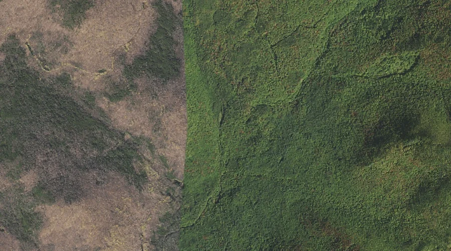
 Aerial imagery: USGS National Map (public domain)
East Fork East Branch Saco River — Streams 21.1 Miles SW of Chapman Inn
Coos County, New Hampshire · USGS Chatham Quadrangle · GNIS 871832
Within Coos County, New Hampshire, on the USGS Chatham quadrangle, the stream known as East Fork East Branch Saco River sits 21.1 miles southwest of Chapman Inn.
Wikidata short description: “river in the United States of America”
Landmark Profile
Classification & USGS reference
Within Coos County, New Hampshire, the U.S. Geological Survey lists East Fork East Branch Saco River as a stream on the Chatham topographic quadrangle (FIPS 33/007), under Feature ID 871832. Catalogued in GNIS since 08/27/1980.
Coordinates & physical setting
East Fork East Branch Saco River sits at 44.21646° N, 71.12368° W (DMS 44°12′59″ N, 71°07′25″ W).
As a linear feature its source lies near 44.23917° N, 71.08361° W (DMS 44°14′21″ N, 71°05′01″ W) — useful for anglers and paddlers tracing the upstream end.
Other streams in Coos County, New Hampshire
Coos County, NH contains 300 streams catalogued in the USGS Geographic Names Information System, counting East Fork East Branch Saco River itself. The ones closest to East Fork East Branch Saco River:
| Feature | USGS Quadrangle | Distance |
|---|---|---|
| Red Brook | Wild River | 2.9 mi |
| Spruce Brook | Wild River | 3.7 mi |
| Baldface Brook | Wild River | 3.9 mi |
| Cedar Brook | Wild River | 4.3 mi |
| Cypress Brook | Wild River | 4.6 mi |
| Charles Brook | Chatham | 5.9 mi |
| Moriah Brook | Wild River | 6.2 mi |
| Thompson Brook | Carter Dome | 6.6 mi |
| Blue Brook | Wild River | 7 mi |
| New River | Mount Washington | 7 mi |
Features on the USGS Chatham Quadrangle
The Chatham 7.5-minute topographic quadrangle holds 24 catalogued natural features alongside East Fork East Branch Saco River. A sampling nearest to this location:
| Feature | Type | County | Offset |
|---|---|---|---|
| Chandler Mountain | Summits | Carroll County, NH | 1.3 mi |
| Sable Mountain | Summits | Carroll County, NH | 1.4 mi |
| South Baldface | Summits | Carroll County, NH | 2.5 mi |
| North Baldface | Summits | Coos County, NH | 2.6 mi |
| Eastman Mountain | Summits | Carroll County, NH | 3 mi |
| Spruce Knoll | Summits | Carroll County, NH | 3.4 mi |
| Mountain Pond | Lakes | Carroll County, NH | 4.1 mi |
| Slippery Brook | Streams | Carroll County, NH | 4.2 mi |
| Slope Mountain | Summits | Carroll County, NH | 4.5 mi |
| Burnt Knoll Brook | Streams | Carroll County, NH | 5.5 mi |
Historical record
The East Fork of the East Branch of the Saco River is a 2.2-mile-long (3.5 km) stream in the White Mountains of New Hampshire in the United States. It is a tributary of the East Branch of the Saco River, with its waters ultimately flowing to the Atlantic Ocean in Maine. Read the full Wikipedia entry →
Visiting from Chapman Inn
Distance, bearing & drive time
Follow the compass bearing SW out of Bethel for 21.1 miles (southwest) and you reach East Fork East Branch Saco River; at typical rural speeds the trip runs roughly 36 minutes.
Best time to visit
Best observed in late spring and early summer when flow is strong and banks are visible. Being this far north (lat 44.216°), first snows typically arrive by mid-October and linger into early May — narrow the window accordingly. At 21.1 miles from the Inn, plan on a comfortable day trip with time for lunch on the road. Conditions at East Fork East Branch Saco River track the nearby Black Brook stream (0.7 mi away) closely — if that is runnable, so is this.
Nearest features to East Fork East Branch Saco River
| Feature | Type | County | Distance |
|---|---|---|---|
| Black Brook | Streams | Carroll County, NH | 0.7 mi |
| Chandler Mountain | Summits | Carroll County, NH | 1.3 mi |
| Sable Mountain | Summits | Carroll County, NH | 1.4 mi |
| Gulf Brook | Streams | Carroll County, NH | 1.7 mi |
| Black Mountain | Ridges | Carroll County, NH | 1.7 mi |
Frequently Asked Questions
Where is East Fork East Branch Saco River located?
East Fork East Branch Saco River is in Coos County, New Hampshire, approximately 21.1 miles southwest of Chapman Inn in Bethel, Maine. It appears on the USGS Chatham topographic quadrangle.
How far is East Fork East Branch Saco River from Chapman Inn?
The drive runs about 36 minutes, 21.1 miles southwest (bearing SW) of the Inn.
What type of natural feature is East Fork East Branch Saco River?
The U.S. Geological Survey classifies East Fork East Branch Saco River as a stream, catalogued under GNIS Feature ID 871832 on the Chatham quadrangle.
When is the best time to visit East Fork East Branch Saco River?
Best observed in late spring and early summer when flow is strong and banks are visible.
How many other streams are in Coos County, New Hampshire?
GNIS lists 299 other streams in Coos County, New Hampshire.
Wikidata: Q5328366.