 Aerial imagery: USGS National Map (public domain)
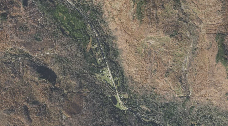
West Branch Clear Stream — Streams 36.5 Miles NW of Chapman Inn
Coos County, New Hampshire · USGS Errol Quadrangle · GNIS 870746
Within Coos County, New Hampshire, on the USGS Errol quadrangle, the stream known as West Branch Clear Stream sits 36.5 miles northwest of Chapman Inn.
Wikidata short description: “river in the United States of America”
Landmark Profile
Classification & USGS reference
Within Coos County, New Hampshire, the U.S. Geological Survey lists West Branch Clear Stream as a stream on the Errol topographic quadrangle (FIPS 33/007), under Feature ID 870746. Catalogued in GNIS since 08/27/1980.
Coordinates & physical setting
West Branch Clear Stream sits at 44.82005° N, 71.24814° W (DMS 44°49′12″ N, 71°14′53″ W).
As a linear feature its source lies near 44.83394° N, 71.33203° W (DMS 44°50′02″ N, 71°19′55″ W) — useful for anglers and paddlers tracing the upstream end.
Other streams in Coos County, New Hampshire
Coos County, NH contains 300 streams catalogued in the USGS Geographic Names Information System, counting West Branch Clear Stream itself. The ones closest to West Branch Clear Stream:
| Feature | USGS Quadrangle | Distance |
|---|---|---|
| Welch Brook | Errol | 1 mi |
| Cascade Brook | Dixville Notch | 2.4 mi |
| Millsfield Pond Brook | Errol | 2.4 mi |
| Flume Brook | Dixville Notch | 2.9 mi |
| North Inlet | Dixville Notch | 3.1 mi |
| Corser Brook | Errol | 3.1 mi |
| West Inlet | Dixville Notch | 3.6 mi |
| South Valley Brook | Mount Pisgah | 4.3 mi |
| Dixie Brook | Mount Pisgah | 4.4 mi |
| Squeeze Hole Brook | Errol | 4.9 mi |
Features on the USGS Errol Quadrangle
The Errol 7.5-minute topographic quadrangle holds 19 catalogued natural features alongside West Branch Clear Stream. A sampling nearest to this location:
| Feature | Type | County | Offset |
|---|---|---|---|
| Welch Brook | Streams | Coos County, NH | 1 mi |
| Rice Mountain | Summits | Coos County, NH | 2.3 mi |
| Millsfield Pond Brook | Streams | Coos County, NH | 2.4 mi |
| Corser Brook | Streams | Coos County, NH | 3.1 mi |
| Black Mountain | Summits | Coos County, NH | 3.7 mi |
| Signal Pond | Lakes | Coos County, NH | 4 mi |
| Sweat Pond | Lakes | Coos County, NH | 4 mi |
| Signal Mountain | Summits | Coos County, NH | 4.2 mi |
| Akers Pond | Reservoirs | Coos County, NH | 4.5 mi |
| Long Pond | Lakes | Coos County, NH | 4.7 mi |
Visiting from Chapman Inn
Distance, bearing & drive time
Follow the compass bearing NW out of Bethel for 36.5 miles (northwest) and you reach West Branch Clear Stream; at typical rural speeds the trip runs roughly 63 minutes.
Best time to visit
Best observed in late spring and early summer when flow is strong and banks are visible. Being this far north (lat 44.820°), first snows typically arrive by mid-October and linger into early May — narrow the window accordingly. At 36.5 miles from the Inn, block the full day — sunrise start, late return, packed meals. Conditions at West Branch Clear Stream track the nearby Welch Brook stream (1.0 mi away) closely — if that is runnable, so is this.
Nearest features to West Branch Clear Stream
| Feature | Type | County | Distance |
|---|---|---|---|
| Welch Brook | Streams | Coos County, NH | 1 mi |
| Rice Mountain | Summits | Coos County, NH | 2.3 mi |
| Cascade Brook | Streams | Coos County, NH | 2.4 mi |
| Millsfield Pond Brook | Streams | Coos County, NH | 2.4 mi |
| Flume Brook | Streams | Coos County, NH | 2.9 mi |
Frequently Asked Questions
Where is West Branch Clear Stream located?
West Branch Clear Stream is in Coos County, New Hampshire, approximately 36.5 miles northwest of Chapman Inn in Bethel, Maine. It appears on the USGS Errol topographic quadrangle.
How far is West Branch Clear Stream from Chapman Inn?
The drive runs about 63 minutes, 36.5 miles northwest (bearing NW) of the Inn.
What type of natural feature is West Branch Clear Stream?
The U.S. Geological Survey classifies West Branch Clear Stream as a stream, catalogued under GNIS Feature ID 870746 on the Errol quadrangle.
When is the best time to visit West Branch Clear Stream?
Best observed in late spring and early summer when flow is strong and banks are visible.
How many other streams are in Coos County, New Hampshire?
GNIS lists 299 other streams in Coos County, New Hampshire.
Wikidata: Q34859616.