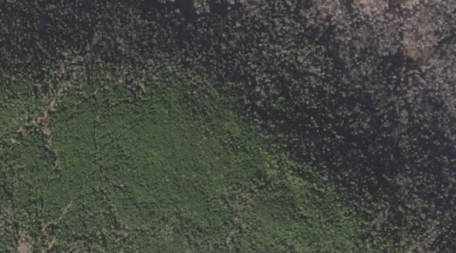
 Aerial imagery: USGS National Map (public domain)
Mount Tucker — Summits 40.8 Miles NNW of Chapman Inn
Coos County, New Hampshire · USGS Mount Pisgah Quadrangle · GNIS 870519
40.8 miles north-northwest of Chapman Inn, on the USGS Mount Pisgah topographic quadrangle, Mount Tucker is a summit recorded in Coos County, New Hampshire by the federal Geographic Names Information System.
Wikidata short description: “mountain in United States of America”
Landmark Profile
Classification & USGS reference
The USGS Mount Pisgah 7.5-minute topographic quadrangle places Mount Tucker in Coos County, New Hampshire (FIPS 33/007), classified as a summit in the federal GNIS (Feature ID 870519). Last revised by the Board on Geographic Names on 03/26/2022.
Coordinates & physical setting
Mount Tucker sits at 44.93767° N, 71.14681° W (DMS 44°56′16″ N, 71°08′49″ W).
Other summits in Coos County, New Hampshire
Coos County, NH contains 226 summits catalogued in the USGS Geographic Names Information System, counting Mount Tucker itself. The ones closest to Mount Tucker:
| Feature | USGS Quadrangle | Elevation | Distance |
|---|---|---|---|
| Round Mountain | Mount Pisgah | — | 1 mi |
| Black Mountain | Wilsons Mills | — | 2.3 mi |
| Chase Mountain | Mount Pisgah | — | 2.5 mi |
| Crystal Mountain | Mount Pisgah | — | 3.1 mi |
| Rands Rock | Wilsons Mills | — | 3.3 mi |
| Halfmoon Mountain | Wilsons Mills | — | 4.2 mi |
| Mount Pisgah | Mount Pisgah | — | 5.1 mi |
| Diamond Peaks | Wilsons Mills | — | 5.2 mi |
| Mount Dustan | Umbagog Lake North | — | 6.3 mi |
| Cave Mountain | Diamond Pond | — | 6.9 mi |
Features on the USGS Mount Pisgah Quadrangle
The Mount Pisgah 7.5-minute topographic quadrangle holds 16 catalogued natural features alongside Mount Tucker. A sampling nearest to this location:
| Feature | Type | County | Offset |
|---|---|---|---|
| Round Mountain | Summits | Coos County, NH | 1 mi |
| Lost Valley Brook | Streams | Coos County, NH | 1.8 mi |
| South Branch Little Dead Diamond River | Streams | Coos County, NH | 1.9 mi |
| Chase Mountain | Summits | Coos County, NH | 2.5 mi |
| Tracy Brook | Streams | Coos County, NH | 3.1 mi |
| Crystal Mountain | Summits | Coos County, NH | 3.1 mi |
| West Branch Little Dead Diamond River | Streams | Coos County, NH | 3.4 mi |
| Pesky Brook | Streams | Coos County, NH | 3.4 mi |
| Fourmile Brook | Streams | Coos County, NH | 3.7 mi |
| Roaring Brook | Streams | Coos County, NH | 4.7 mi |
Historical record
Also known as: Mt. Tucker.
Visiting from Chapman Inn
Distance, bearing & drive time
Chapman Inn sits 40.8 miles north-northwest (bearing NNW) of Mount Tucker. At moderate back-road speeds the drive runs about 70 minutes — comfortably inside a half-day outing window after breakfast.
Best time to visit
Accessible May through November in most years. Being this far north (lat 44.938°), first snows typically arrive by mid-October and linger into early May — narrow the window accordingly. At 40.8 miles from the Inn, block the full day — sunrise start, late return, packed meals. Conditions at Mount Tucker track the nearby Round Mountain summit (1.0 mi away) closely — if that is runnable, so is this.
Nearest features to Mount Tucker
| Feature | Type | County | Distance |
|---|---|---|---|
| Round Mountain | Summits | Coos County, NH | 1 mi |
| Lost Valley Brook | Streams | Coos County, NH | 1.8 mi |
| South Branch Little Dead Diamond River | Streams | Coos County, NH | 1.9 mi |
| Lamb Valley Pond | Lakes | Coos County, NH | 2 mi |
| Black Mountain | Summits | Coos County, NH | 2.3 mi |
Frequently Asked Questions
Where is Mount Tucker located?
Mount Tucker is in Coos County, New Hampshire, approximately 40.8 miles north-northwest of Chapman Inn in Bethel, Maine. It appears on the USGS Mount Pisgah topographic quadrangle.
How far is Mount Tucker from Chapman Inn?
The drive runs about 70 minutes, 40.8 miles north-northwest (bearing NNW) of the Inn.
What type of natural feature is Mount Tucker?
The U.S. Geological Survey classifies Mount Tucker as a summit, catalogued under GNIS Feature ID 870519 on the Mount Pisgah quadrangle.
When is the best time to visit Mount Tucker?
Accessible May through November in most years.
What other names has Mount Tucker been known by?
Alternate or historical names on record: Mt. Tucker.
How many other summits are in Coos County, New Hampshire?
GNIS lists 225 other summits in Coos County, New Hampshire.
Wikidata: Q34928011.