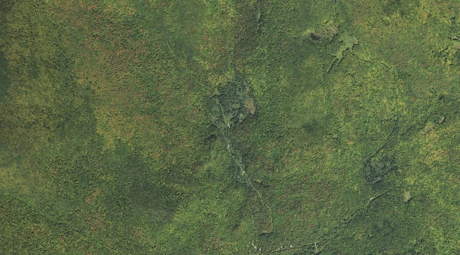
Israel River is a stream in Coos County, New Hampshire, located about 40.2 miles west of Chapman Inn in Bethel, Maine. It appears on the USGS Lancaster topographic…
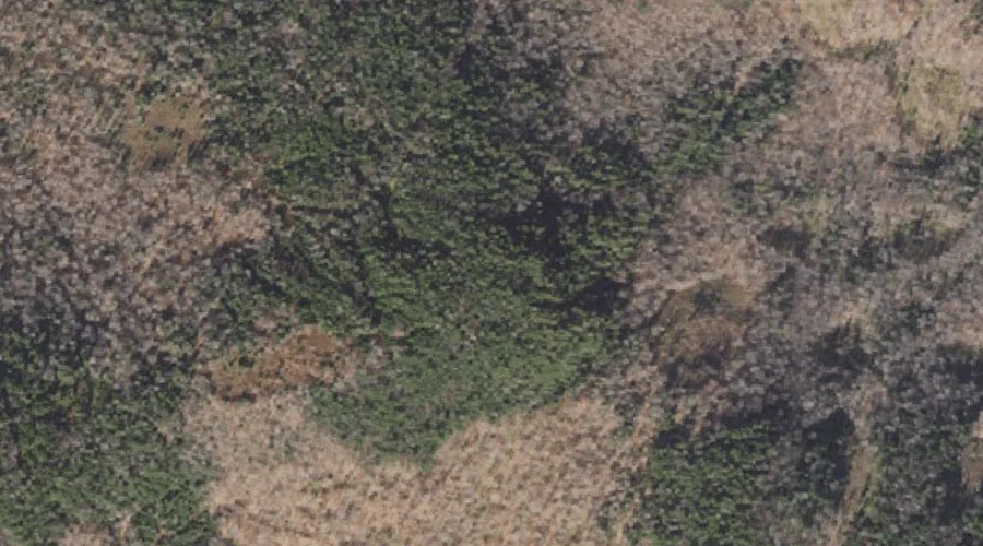
Columbia Brook is a stream in Coos County, New Hampshire, located about 40.2 miles northwest of Chapman Inn in Bethel, Maine. It appears on the USGS Bunnell Mountain…
Round Mountain is a summit in Coos County, New Hampshire, located about 40.3 miles north-northwest of Chapman Inn in Bethel, Maine. It appears on the USGS Mount Pisgah…
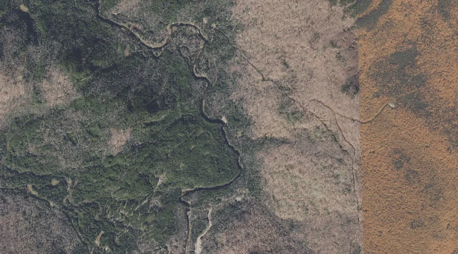
Washburn Brook is a stream in Coos County, New Hampshire, located about 40.3 miles north-northwest of Chapman Inn in Bethel, Maine. It appears on the USGS Wilsons Mills…
Beech Hill is a summit in Coos County, New Hampshire, located about 40.0 miles west of Chapman Inn in Bethel, Maine. It appears on the USGS Twin Mountain…
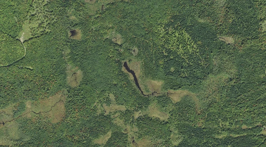
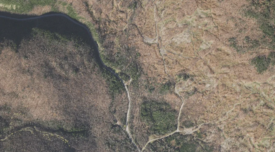
Richardson Pond is a lake in Coos County, New Hampshire, located about 40.2 miles west of Chapman Inn in Bethel, Maine. It appears on the USGS Twin Mountain…
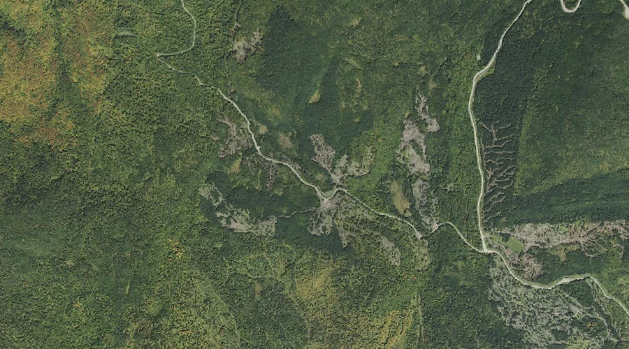
Kelsey Notch is a mountain gap in Coos County, New Hampshire, located about 39.9 miles northwest of Chapman Inn in Bethel, Maine. It appears on the USGS Dixville…
Gadwah Notch is a mountain gap in Coos County, New Hampshire, located about 39.9 miles northwest of Chapman Inn in Bethel, Maine. It appears on the USGS Bunnell…
The Flume is a natural feature in Coos County, New Hampshire, located about 39.8 miles northwest of Chapman Inn in Bethel, Maine. It appears on the USGS Dixville…
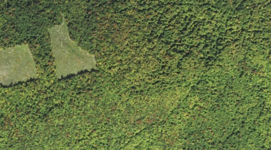
Little River is a stream in Coos County, New Hampshire, located about 39.8 miles west-southwest of Chapman Inn in Bethel, Maine. It appears on the USGS Twin Mountain…