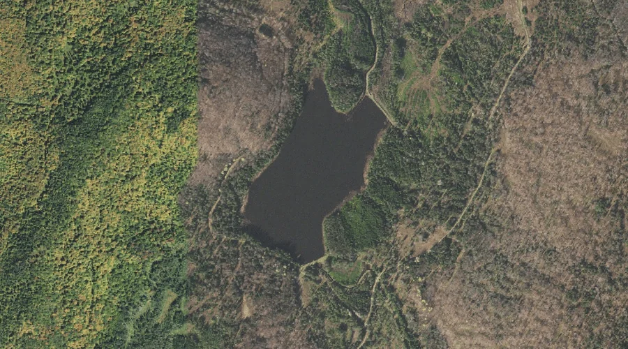
Mud Pond is a reservoir in Coos County, New Hampshire, located about 42.7 miles northwest of Chapman Inn in Bethel, Maine. It appears on the USGS Diamond Pond…
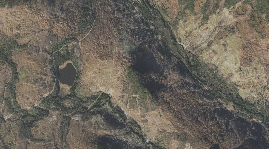
Nathan Pond Ridge is a ridge in Coos County, New Hampshire, located about 42.7 miles north-northwest of Chapman Inn in Bethel, Maine. It appears on the USGS Diamond…
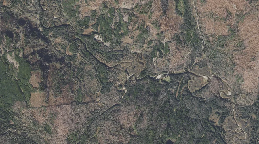
Little Dead Diamond River is a stream in Coos County, New Hampshire, located about 42.7 miles north-northwest of Chapman Inn in Bethel, Maine. It appears on the USGS…
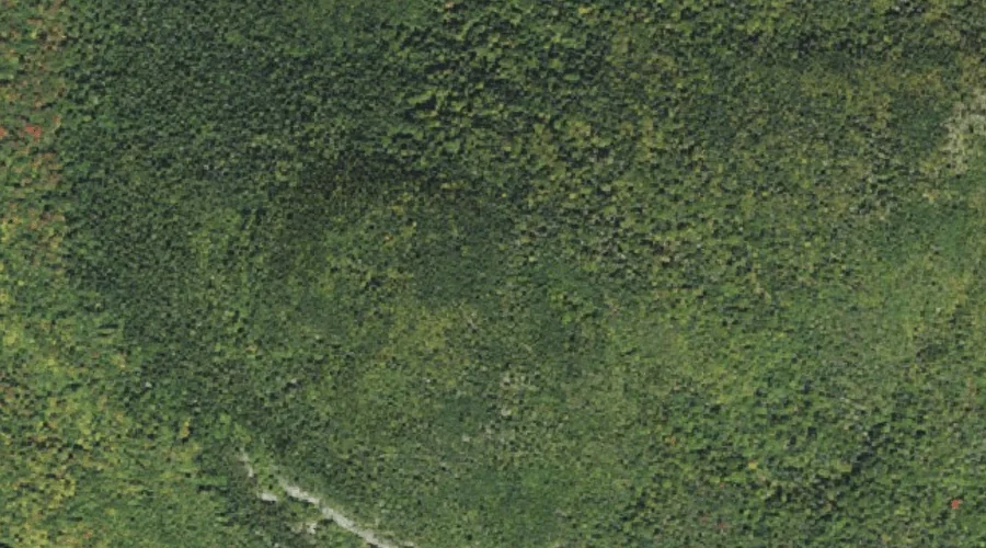
Ledge Mountain is a summit in Coos County, New Hampshire, located about 42.7 miles northwest of Chapman Inn in Bethel, Maine. It appears on the USGS Tinkerville topographic…
Stratford Notch is a mountain gap in Coos County, New Hampshire, located about 42.7 miles northwest of Chapman Inn in Bethel, Maine. It appears on the USGS Stratford…
Keazer Mountain is a summit in Coos County, New Hampshire, located about 42.7 miles northwest of Chapman Inn in Bethel, Maine. It appears on the USGS Diamond Pond…
Bog Brook is a stream in Coos County, New Hampshire, located about 42.5 miles northwest of Chapman Inn in Bethel, Maine. It appears on the USGS Bunnell Mountain…
West Branch Abbott Brook is a stream in Coos County, New Hampshire, located about 42.6 miles north-northwest of Chapman Inn in Bethel, Maine. It appears on the USGS…
Lost Valley Brook is a stream in Coos County, New Hampshire, located about 42.6 miles north-northwest of Chapman Inn in Bethel, Maine. It appears on the USGS Mount…
East Horne Brook is a stream in Coos County, New Hampshire, located about 42.4 miles north-northwest of Chapman Inn in Bethel, Maine. It appears on the USGS Wilsons…