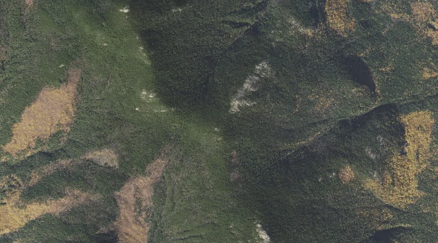
Red Ridge is a ridge in Carroll County, New Hampshire, located about 32.9 miles southwest of Chapman Inn in Bethel, Maine. It appears on the USGS North Conway…
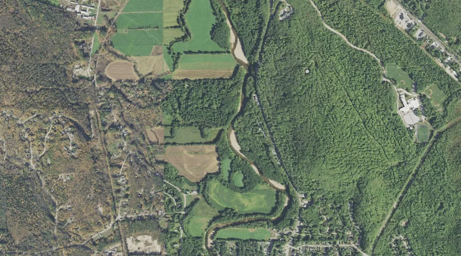
Bartlett Brook is a stream in Carroll County, New Hampshire, located about 32.6 miles southwest of Chapman Inn in Bethel, Maine. It appears on the USGS Bartlett topographic…
Davis Hill is a summit in Carroll County, New Hampshire, located about 32.1 miles south-southwest of Chapman Inn in Bethel, Maine. It appears on the USGS Conway topographic…
Moat Brook is a stream in Carroll County, New Hampshire, located about 32.2 miles south-southwest of Chapman Inn in Bethel, Maine. It appears on the USGS North Conway…
Pine Hill is a summit in Carroll County, New Hampshire, located about 32.0 miles south-southwest of Chapman Inn in Bethel, Maine. It appears on the USGS North Conway…
Meadow Brook is a stream in Carroll County, New Hampshire, located about 31.8 miles southwest of Chapman Inn in Bethel, Maine. It appears on the USGS Bartlett topographic…
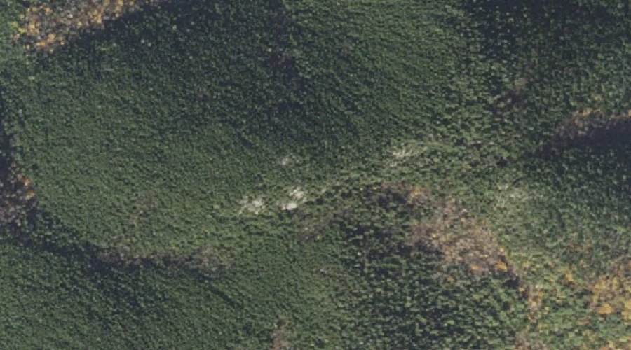
Mount Parker is a summit in Carroll County, New Hampshire, located about 31.8 miles southwest of Chapman Inn in Bethel, Maine. It appears on the USGS Bartlett topographic…
Little Attitash Mountain is a summit in Carroll County, New Hampshire, located about 31.9 miles southwest of Chapman Inn in Bethel, Maine. It appears on the USGS North…
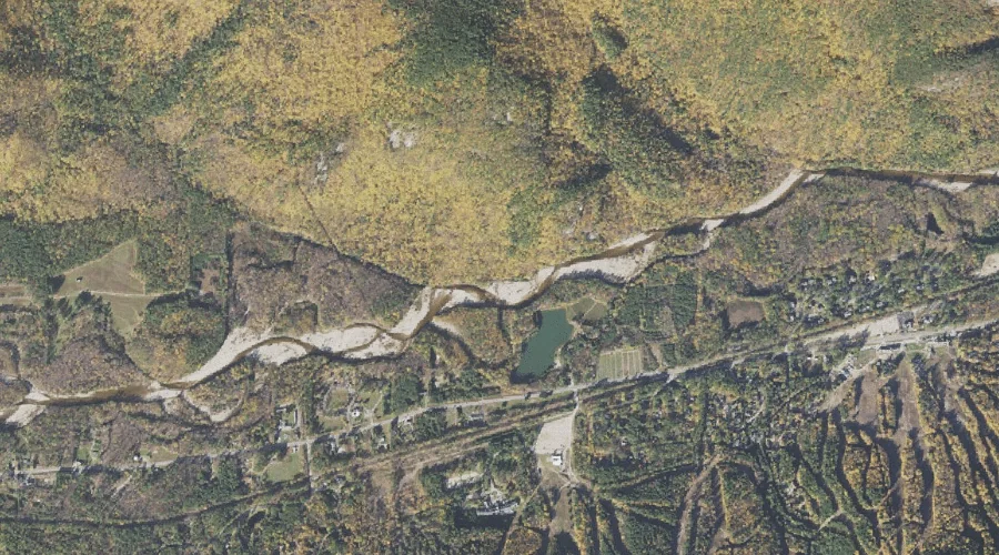
Thompson Falls is a waterfall in Carroll County, New Hampshire, located about 31.7 miles southwest of Chapman Inn in Bethel, Maine. It appears on the USGS North Conway…
Mount Langdon is a summit in Carroll County, New Hampshire, located about 31.5 miles southwest of Chapman Inn in Bethel, Maine. It appears on the USGS Bartlett topographic…