 Aerial imagery: USGS National Map (public domain)
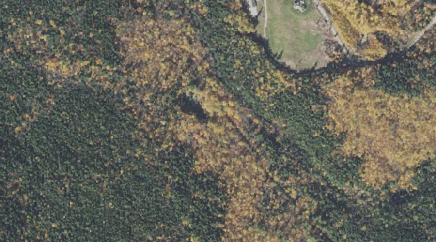
Thompson Falls — Waterfalls 31.7 Miles SW of Chapman Inn
Carroll County, New Hampshire · USGS North Conway West Quadrangle · GNIS 872803
Catalogued on the USGS North Conway West quadrangle in Carroll County, New Hampshire, Thompson Falls — a waterfall — lies 31.7 miles southwest of Chapman Inn.
Landmark Profile
Classification & USGS reference
Catalogued under GNIS Feature ID 872803, Thompson Falls is recorded as a waterfall on the USGS North Conway West quadrangle in Carroll County, New Hampshire (FIPS 33/003). Catalogued in GNIS since 08/27/1980.
Coordinates & physical setting
Thompson Falls sits at 44.04146° N, 71.17924° W (DMS 44°02′29″ N, 71°10′45″ W).
As a linear feature its source lies near 0.00000° N, 0.00000° W — useful for anglers and paddlers tracing the upstream end.
Features on the USGS North Conway West Quadrangle
The North Conway West 7.5-minute topographic quadrangle holds 32 catalogued natural features alongside Thompson Falls. A sampling nearest to this location:
| Feature | Type | County | Offset |
|---|---|---|---|
| White Horse Ledge | Benches | Carroll County, NH | 0.9 mi |
| Echo Lake | Lakes | Carroll County, NH | 1.3 mi |
| Red Ridge | Ridges | Carroll County, NH | 1.3 mi |
| Middle Moat Mountain | Summits | Carroll County, NH | 1.6 mi |
| Cathedral Ledge | Benches | Carroll County, NH | 1.6 mi |
| Birch Hill | Summits | Carroll County, NH | 1.7 mi |
| North Moat Mountain | Summits | Carroll County, NH | 1.8 mi |
| Elm Brook | Streams | Carroll County, NH | 1.8 mi |
| South Moat Mountain | Summits | Carroll County, NH | 1.8 mi |
| Kearsarge Brook | Streams | Carroll County, NH | 2.3 mi |
Visiting from Chapman Inn
Distance, bearing & drive time
A 54-minute drive along back roads separates the front door of Chapman Inn from Thompson Falls — 31.7 miles southwest as the crow flies, on compass bearing SW.
Best time to visit
Peak flow runs mid-April through June after snowmelt; late summer can be thin or dry. At this latitude (44.041°), the shoulder seasons are workable — April and November can be comfortable on mild years. At 31.7 miles from the Inn, block the full day — sunrise start, late return, packed meals. Conditions at Thompson Falls track the nearby White Horse Ledge bench terrace (0.9 mi away) closely — if that is runnable, so is this.
Nearest features to Thompson Falls
| Feature | Type | County | Distance |
|---|---|---|---|
| White Horse Ledge | Benches | Carroll County, NH | 0.9 mi |
| Echo Lake | Lakes | Carroll County, NH | 1.3 mi |
| Red Ridge | Ridges | Carroll County, NH | 1.3 mi |
| Middle Moat Mountain | Summits | Carroll County, NH | 1.6 mi |
| Cathedral Ledge | Benches | Carroll County, NH | 1.6 mi |
Frequently Asked Questions
Where is Thompson Falls located?
Thompson Falls is in Carroll County, New Hampshire, approximately 31.7 miles southwest of Chapman Inn in Bethel, Maine. It appears on the USGS North Conway West topographic quadrangle.
How far is Thompson Falls from Chapman Inn?
The drive runs about 54 minutes, 31.7 miles southwest (bearing SW) of the Inn.
What type of natural feature is Thompson Falls?
The U.S. Geological Survey classifies Thompson Falls as a waterfall, catalogued under GNIS Feature ID 872803 on the North Conway West quadrangle.
When is the best time to visit Thompson Falls?
Peak flow runs mid-April through June after snowmelt; late summer can be thin or dry.