Kedron Brook is a stream in Carroll County, New Hampshire, located about 33.8 miles west-southwest of Chapman Inn in Bethel, Maine. It appears on the USGS Crawford Notch…
Sleeper Brook is a stream in Carroll County, New Hampshire, located about 33.6 miles west-southwest of Chapman Inn in Bethel, Maine. It appears on the USGS Stairs Mountain…
Red Eagle Pond is a lake in Carroll County, New Hampshire, located about 33.7 miles south-southwest of Chapman Inn in Bethel, Maine. It appears on the USGS Silver…
Red Eagle Brook is a stream in Carroll County, New Hampshire, located about 33.7 miles south-southwest of Chapman Inn in Bethel, Maine. It appears on the USGS Silver…
Willey Brook is a stream in Carroll County, New Hampshire, located about 33.7 miles south-southwest of Chapman Inn in Bethel, Maine. It appears on the USGS Conway topographic…
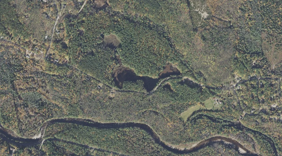
McKiels Pond is a lake in Carroll County, New Hampshire, located about 33.8 miles southwest of Chapman Inn in Bethel, Maine. It appears on the USGS Bartlett topographic…
South Moat Mountain is a summit in Carroll County, New Hampshire, located about 33.4 miles southwest of Chapman Inn in Bethel, Maine. It appears on the USGS North…
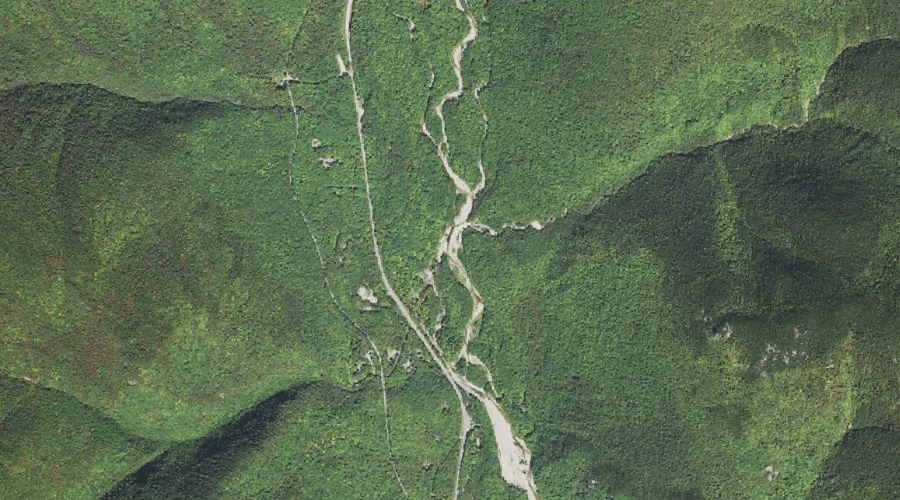
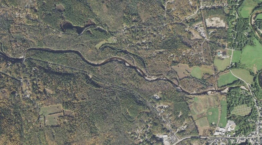
Swift River is a stream in Carroll County, New Hampshire, located about 33.4 miles south-southwest of Chapman Inn in Bethel, Maine. It appears on the USGS Conway topographic…
Dundee Hill is a summit in Carroll County, New Hampshire, located about 33.6 miles south-southwest of Chapman Inn in Bethel, Maine. It appears on the USGS Conway topographic…
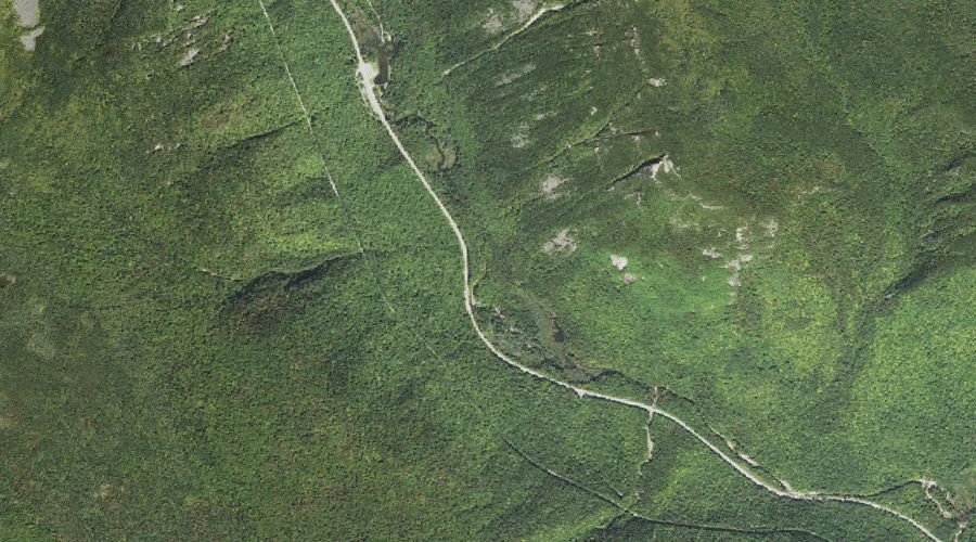
Crawford Notch is a valley in Carroll County, New Hampshire, located about 33.4 miles west-southwest of Chapman Inn in Bethel, Maine. It appears on the USGS Crawford Notch…