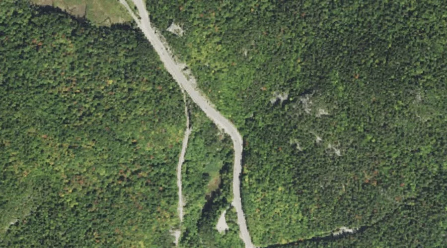
Flume Cascade is a stream in Carroll County, New Hampshire, located about 33.4 miles west-southwest of Chapman Inn in Bethel, Maine. It appears on the USGS Crawford Notch…
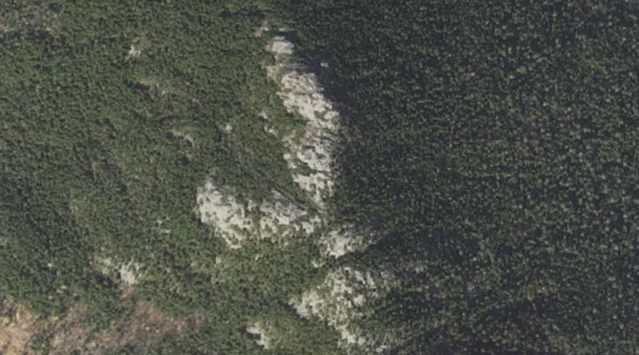
Frankenstein Cliff is a cliff face in Carroll County, New Hampshire, located about 33.4 miles west-southwest of Chapman Inn in Bethel, Maine. It appears on the USGS Stairs…
Conway Lake is a reservoir in Carroll County, New Hampshire, located about 33.4 miles south-southwest of Chapman Inn in Bethel, Maine. It appears on the USGS Conway topographic…
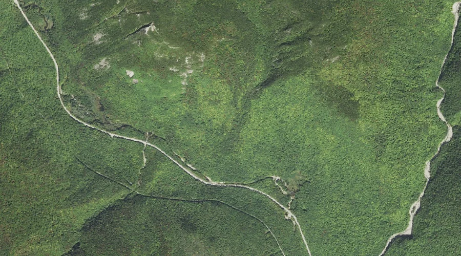
Webster Brook is a stream in Carroll County, New Hampshire, located about 33.2 miles west-southwest of Chapman Inn in Bethel, Maine. It appears on the USGS Crawford Notch…
Elephant Head is a rock pillar in Carroll County, New Hampshire, located about 33.3 miles west-southwest of Chapman Inn in Bethel, Maine. It appears on the USGS Crawford…
Middle Moat Mountain is a summit in Carroll County, New Hampshire, located about 33.3 miles southwest of Chapman Inn in Bethel, Maine. It appears on the USGS North…
Big Attitash Mountain is a summit in Carroll County, New Hampshire, located about 33.0 miles southwest of Chapman Inn in Bethel, Maine. It appears on the USGS North…
Clark Brook is a stream in Carroll County, New Hampshire, located about 33.1 miles south-southwest of Chapman Inn in Bethel, Maine. It appears on the USGS Conway topographic…
North Moat Mountain is a summit in Carroll County, New Hampshire, located about 32.7 miles southwest of Chapman Inn in Bethel, Maine. It rises to 3,196 feet above…
Cave Mountain is a summit in Carroll County, New Hampshire, located about 32.8 miles southwest of Chapman Inn in Bethel, Maine. It appears on the USGS Bartlett topographic…