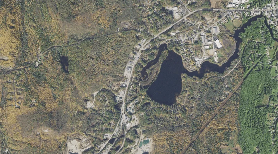
Pequawket Brook is a stream in Carroll County, New Hampshire, located about 34.8 miles south-southwest of Chapman Inn in Bethel, Maine. It appears on the USGS Silver Lake…
Crown Hill is a summit in Carroll County, New Hampshire, located about 34.8 miles south-southwest of Chapman Inn in Bethel, Maine. It appears on the USGS Conway topographic…
Table Mountain is a summit in Carroll County, New Hampshire, located about 34.8 miles southwest of Chapman Inn in Bethel, Maine. It appears on the USGS Bartlett topographic…
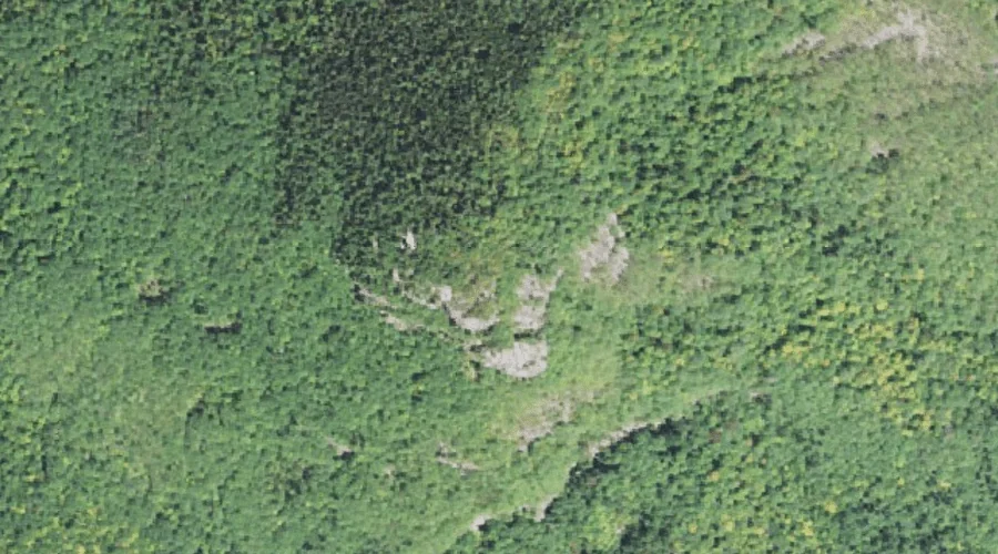
Hart Ledge is a bench terrace in Carroll County, New Hampshire, located about 34.6 miles southwest of Chapman Inn in Bethel, Maine. It appears on the USGS Bartlett…
Chase Hill is a summit in Carroll County, New Hampshire, located about 34.7 miles south-southwest of Chapman Inn in Bethel, Maine. It appears on the USGS Silver Lake…
Allard Brook is a stream in Carroll County, New Hampshire, located about 34.7 miles southwest of Chapman Inn in Bethel, Maine. It appears on the USGS Silver Lake…
Eagle Ledge is a bench terrace in Carroll County, New Hampshire, located about 34.7 miles southwest of Chapman Inn in Bethel, Maine. It appears on the USGS Silver…
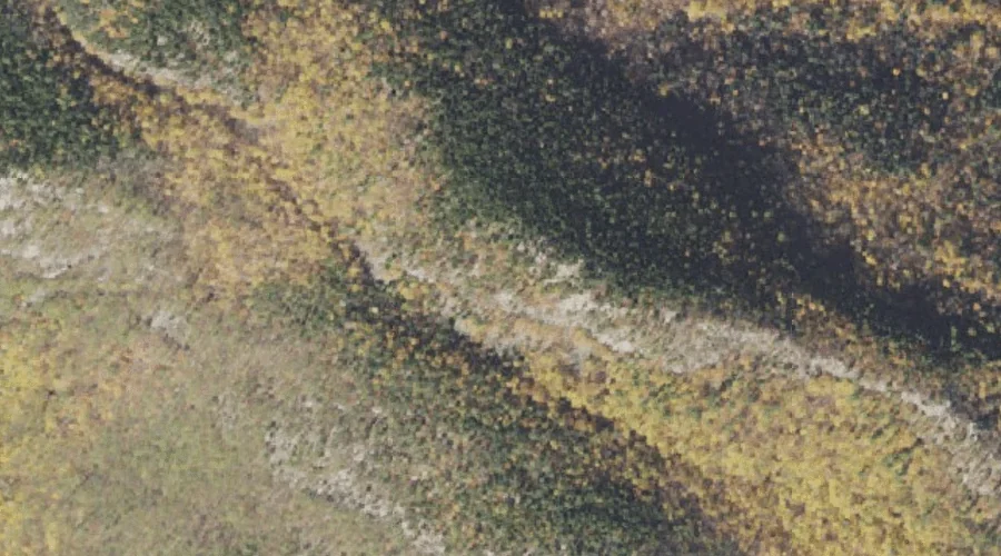
Haystack is a rock pillar in Carroll County, New Hampshire, located about 34.4 miles southwest of Chapman Inn in Bethel, Maine. It appears on the USGS North Conway…
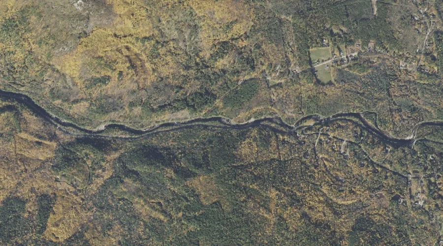
Nancy Brook is a stream in Carroll County, New Hampshire, located about 34.4 miles southwest of Chapman Inn in Bethel, Maine. It appears on the USGS Bartlett topographic…
Louisville Brook is a stream in Carroll County, New Hampshire, located about 34.5 miles southwest of Chapman Inn in Bethel, Maine. It appears on the USGS Bartlett topographic…