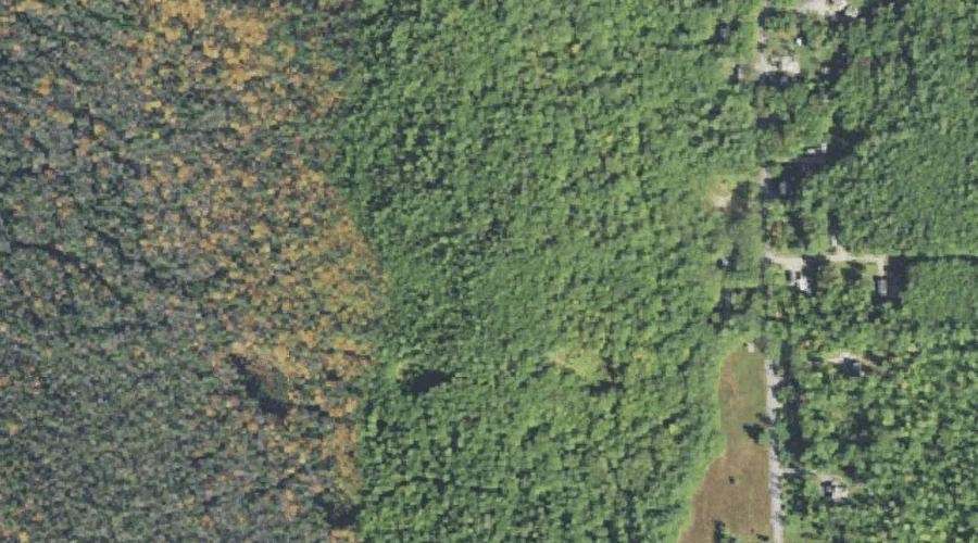
Sawyer River is a stream in Carroll County, New Hampshire, located about 35.3 miles southwest of Chapman Inn in Bethel, Maine. It appears on the USGS Bartlett topographic…
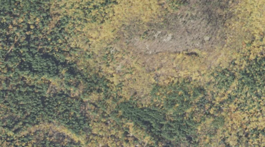
Spruce Hill is a summit in Carroll County, New Hampshire, located about 35.2 miles southwest of Chapman Inn in Bethel, Maine. It appears on the USGS North Conway…
Tasker Hill is a summit in Carroll County, New Hampshire, located about 35.2 miles south-southwest of Chapman Inn in Bethel, Maine. It appears on the USGS Conway topographic…
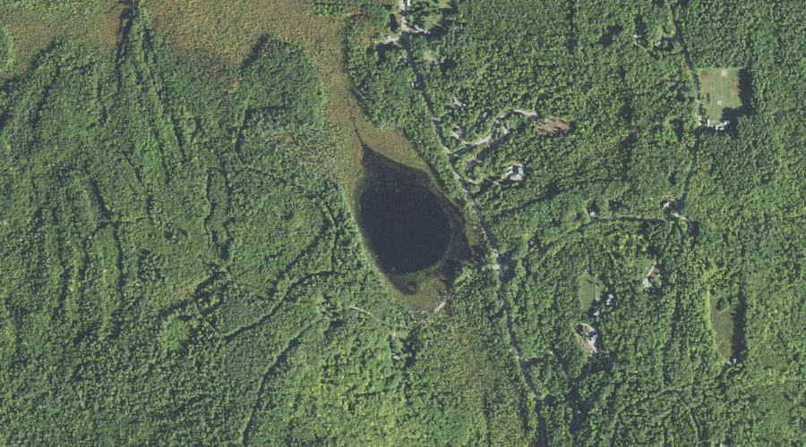
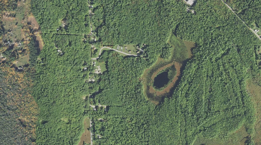
Dollof Pond is a lake in Carroll County, New Hampshire, located about 35.1 miles south-southwest of Chapman Inn in Bethel, Maine. It appears on the USGS Conway topographic…
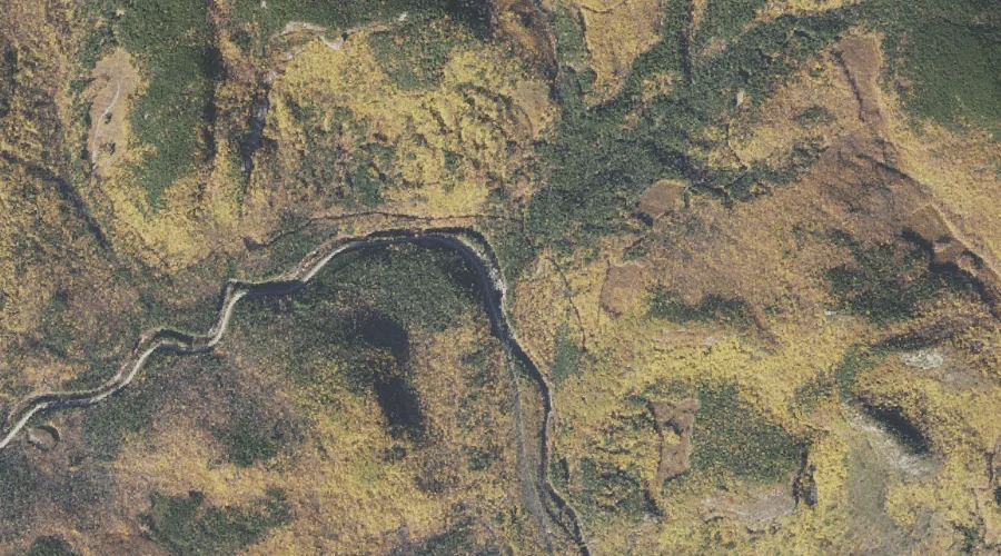
Woodchuck Ledge is a bench terrace in Carroll County, New Hampshire, located about 35.1 miles southwest of Chapman Inn in Bethel, Maine. It appears on the USGS Silver…
Deer Brook is a stream in Carroll County, New Hampshire, located about 35.1 miles southwest of Chapman Inn in Bethel, Maine. It appears on the USGS North Conway…
Snake Pond is a lake in Carroll County, New Hampshire, located about 34.9 miles south-southwest of Chapman Inn in Bethel, Maine. It appears on the USGS Conway topographic…
Bald Hill is a summit in Carroll County, New Hampshire, located about 35.0 miles south-southwest of Chapman Inn in Bethel, Maine. It appears on the USGS Silver Lake…
Halfway Brook is a stream in Carroll County, New Hampshire, located about 35.0 miles southwest of Chapman Inn in Bethel, Maine. It appears on the USGS Bartlett topographic…
Sawyer Rock is a summit in Carroll County, New Hampshire, located about 34.7 miles southwest of Chapman Inn in Bethel, Maine. It appears on the USGS Bartlett topographic…