 Aerial imagery: USGS National Map (public domain)
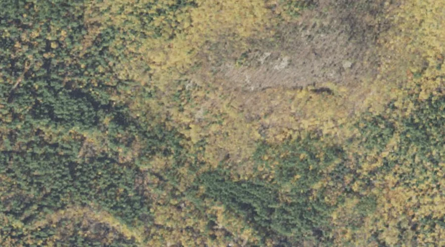
Woodchuck Ledge — Benches 35.1 Miles SW of Chapman Inn
Carroll County, New Hampshire · USGS Silver Lake Quadrangle · GNIS 872966
Within Carroll County, New Hampshire, on the USGS Silver Lake quadrangle, the bench terrace known as Woodchuck Ledge sits 35.1 miles southwest of Chapman Inn.
Landmark Profile
Classification & USGS reference
Within Carroll County, New Hampshire, the U.S. Geological Survey lists Woodchuck Ledge as a bench terrace on the Silver Lake topographic quadrangle (FIPS 33/003), under Feature ID 872966. Catalogued in GNIS since 08/27/1980.
Coordinates & physical setting
Woodchuck Ledge sits at 43.99868° N, 71.21452° W (DMS 43°59′55″ N, 71°12′52″ W).
Other benches in Carroll County, New Hampshire
Carroll County, NH contains 20 benches catalogued in the USGS Geographic Names Information System, counting Woodchuck Ledge itself. The ones closest to Woodchuck Ledge:
| Feature | USGS Quadrangle | Distance |
|---|---|---|
| Eagle Ledge | Silver Lake | 0.6 mi |
| White Ledge | Silver Lake | 1.8 mi |
| Carter Ledge | Mount Chocorua | 3.2 mi |
| Nickerson Ledge | Silver Lake | 3.7 mi |
| Whitton Ledge | Silver Lake | 3.9 mi |
| Band M Ledge | Silver Lake | 3.9 mi |
| White Horse Ledge | North Conway West | 4.3 mi |
| Bragdon Ledge | Silver Lake | 4.6 mi |
| Cathedral Ledge | North Conway West | 5 mi |
| Redstone Ledge | North Conway East | 6.2 mi |
Features on the USGS Silver Lake Quadrangle
The Silver Lake 7.5-minute topographic quadrangle holds 63 catalogued natural features alongside Woodchuck Ledge. A sampling nearest to this location:
| Feature | Type | County | Offset |
|---|---|---|---|
| Hobbs Brook | Streams | Carroll County, NH | 0.3 mi |
| Big Brook | Streams | Carroll County, NH | 0.5 mi |
| Eagle Ledge | Benches | Carroll County, NH | 0.6 mi |
| Allard Brook | Streams | Carroll County, NH | 1.6 mi |
| White Ledge | Benches | Carroll County, NH | 1.8 mi |
| Sugarloaf | Summits | Carroll County, NH | 1.9 mi |
| Roundtop | Summits | Carroll County, NH | 2.2 mi |
| Dry Brook | Streams | Carroll County, NH | 2.5 mi |
| Bald Hill | Summits | Carroll County, NH | 2.7 mi |
| Birch Hill | Summits | Carroll County, NH | 2.9 mi |
Visiting from Chapman Inn
Distance, bearing & drive time
Follow the compass bearing SW out of Bethel for 35.1 miles (southwest) and you reach Woodchuck Ledge; at typical rural speeds the trip runs roughly 60 minutes.
Best time to visit
Generally accessible May through October; winter access depends on snow cover. At this latitude (43.999°), the shoulder seasons are workable — April and November can be comfortable on mild years. At 35.1 miles from the Inn, block the full day — sunrise start, late return, packed meals. Conditions at Woodchuck Ledge track the nearby Hobbs Brook stream (0.3 mi away) closely — if that is runnable, so is this.
Nearest features to Woodchuck Ledge
| Feature | Type | County | Distance |
|---|---|---|---|
| Hobbs Brook | Streams | Carroll County, NH | 0.3 mi |
| Big Brook | Streams | Carroll County, NH | 0.5 mi |
| Eagle Ledge | Benches | Carroll County, NH | 0.6 mi |
| Haystack | Pillars | Carroll County, NH | 0.8 mi |
| Allard Brook | Streams | Carroll County, NH | 1.6 mi |
Frequently Asked Questions
Where is Woodchuck Ledge located?
Woodchuck Ledge is in Carroll County, New Hampshire, approximately 35.1 miles southwest of Chapman Inn in Bethel, Maine. It appears on the USGS Silver Lake topographic quadrangle.
How far is Woodchuck Ledge from Chapman Inn?
The drive runs about 60 minutes, 35.1 miles southwest (bearing SW) of the Inn.
What type of natural feature is Woodchuck Ledge?
The U.S. Geological Survey classifies Woodchuck Ledge as a bench terrace, catalogued under GNIS Feature ID 872966 on the Silver Lake quadrangle.
When is the best time to visit Woodchuck Ledge?
Generally accessible May through October; winter access depends on snow cover.
How many other benches are in Carroll County, New Hampshire?
GNIS lists 19 other benches in Carroll County, New Hampshire.
Wikidata: Q49173540.