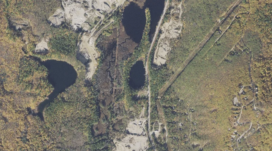
Middle Pea Porridge Pond is a lake in Carroll County, New Hampshire, located about 36.4 miles south-southwest of Chapman Inn in Bethel, Maine. It appears on the USGS…
Bear Mountain is a summit in Carroll County, New Hampshire, located about 36.3 miles southwest of Chapman Inn in Bethel, Maine. It appears on the USGS Bartlett topographic…
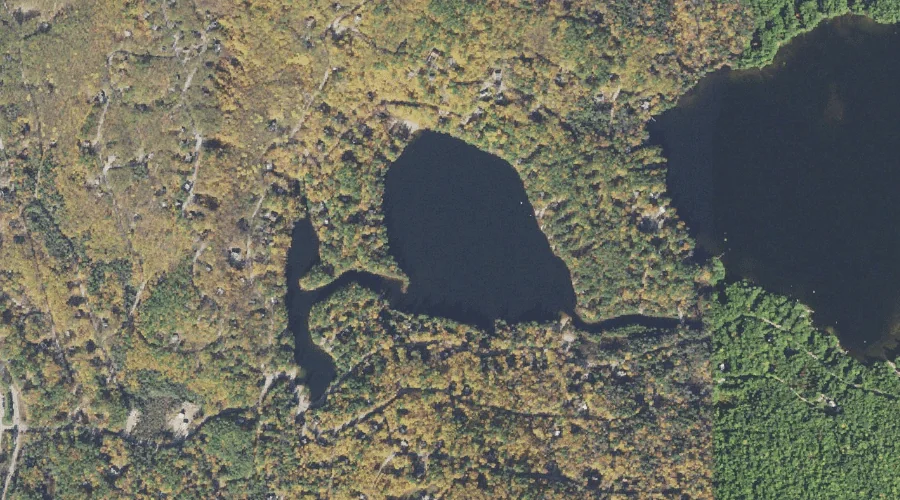
Tight Pond is a lake in Carroll County, New Hampshire, located about 36.3 miles south-southwest of Chapman Inn in Bethel, Maine. It appears on the USGS Silver Lake…
Birch Hill is a summit in Carroll County, New Hampshire, located about 36.1 miles south-southwest of Chapman Inn in Bethel, Maine. It appears on the USGS Silver Lake…
Bartlett Haystack is a summit in Carroll County, New Hampshire, located about 36.1 miles southwest of Chapman Inn in Bethel, Maine. It appears on the USGS Bartlett topographic…
Roberts Pond is a lake in Carroll County, New Hampshire, located about 36.1 miles south-southwest of Chapman Inn in Bethel, Maine. It appears on the USGS Conway topographic…
Oak Hill is a summit in Carroll County, New Hampshire, located about 36.1 miles south-southwest of Chapman Inn in Bethel, Maine. It appears on the USGS Silver Lake…
Sugarloaf is a summit in Carroll County, New Hampshire, located about 35.9 miles southwest of Chapman Inn in Bethel, Maine. It appears on the USGS Silver Lake topographic…
Atkinson Mountain is a summit in Carroll County, New Hampshire, located about 35.9 miles south-southwest of Chapman Inn in Bethel, Maine. It appears on the USGS Conway topographic…
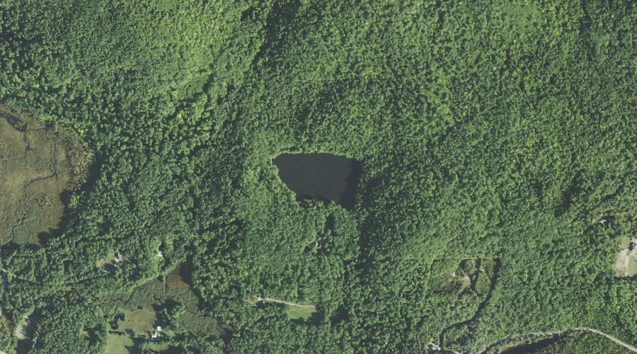
Cream Brook is a stream in Carroll County, New Hampshire, located about 36.0 miles south-southwest of Chapman Inn in Bethel, Maine. It appears on the USGS Silver Lake…