 Aerial imagery: USGS National Map (public domain)
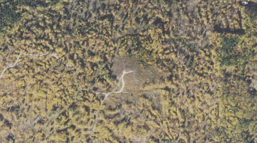
Birch Hill — Summits 36.1 Miles SSW of Chapman Inn
Carroll County, New Hampshire · USGS Silver Lake Quadrangle · GNIS 871508
Within Carroll County, New Hampshire, on the USGS Silver Lake quadrangle, the summit known as Birch Hill sits 36.1 miles south-southwest of Chapman Inn.
Landmark Profile
Classification & USGS reference
Within Carroll County, New Hampshire, the U.S. Geological Survey lists Birch Hill as a summit on the Silver Lake topographic quadrangle (FIPS 33/003), under Feature ID 871508. Last revised by the Board on Geographic Names on 11/24/2020.
Coordinates & physical setting
Birch Hill sits at 43.96494° N, 71.18149° W (DMS 43°57′54″ N, 71°10′53″ W).
Other summits in Carroll County, New Hampshire
Carroll County, NH contains 127 summits catalogued in the USGS Geographic Names Information System, counting Birch Hill itself. The ones closest to Birch Hill:
| Feature | USGS Quadrangle | Elevation | Distance |
|---|---|---|---|
| Sugarloaf | Silver Lake | — | 1 mi |
| Bald Hill | Silver Lake | — | 1.1 mi |
| Roundtop | Silver Lake | — | 1.5 mi |
| Chase Hill | Silver Lake | — | 1.5 mi |
| Salter Hill | Silver Lake | — | 2.2 mi |
| Oak Hill | Silver Lake | — | 2.4 mi |
| Pine Hill | Silver Lake | — | 2.9 mi |
| Tasker Hill | Conway | — | 3 mi |
| Crothers Hill | Silver Lake | — | 3.5 mi |
| Blue Mountain | Mount Chocorua | — | 3.6 mi |
Features on the USGS Silver Lake Quadrangle
The Silver Lake 7.5-minute topographic quadrangle holds 63 catalogued natural features alongside Birch Hill. A sampling nearest to this location:
| Feature | Type | County | Offset |
|---|---|---|---|
| Sugarloaf | Summits | Carroll County, NH | 1 mi |
| Band M Ledge | Benches | Carroll County, NH | 1.1 mi |
| Bald Hill | Summits | Carroll County, NH | 1.1 mi |
| Swift Brook | Streams | Carroll County, NH | 1.1 mi |
| Iona Lake | Lakes | Carroll County, NH | 1.1 mi |
| Whitton Ledge | Benches | Carroll County, NH | 1.3 mi |
| Meadow Brook | Streams | Carroll County, NH | 1.4 mi |
| Roundtop | Summits | Carroll County, NH | 1.5 mi |
| Chase Hill | Summits | Carroll County, NH | 1.5 mi |
| Cream Brook | Streams | Carroll County, NH | 1.5 mi |
Visiting from Chapman Inn
Distance, bearing & drive time
Follow the compass bearing SSW out of Bethel for 36.1 miles (south-southwest) and you reach Birch Hill; at typical rural speeds the trip runs roughly 62 minutes.
Best time to visit
Accessible May through November in most years. At this latitude (43.965°), the shoulder seasons are workable — April and November can be comfortable on mild years. At 36.1 miles from the Inn, block the full day — sunrise start, late return, packed meals. Conditions at Birch Hill track the nearby Sugarloaf summit (1.0 mi away) closely — if that is runnable, so is this.
Nearest features to Birch Hill
| Feature | Type | County | Distance |
|---|---|---|---|
| Sugarloaf | Summits | Carroll County, NH | 1 mi |
| Band M Ledge | Benches | Carroll County, NH | 1.1 mi |
| Bald Hill | Summits | Carroll County, NH | 1.1 mi |
| Swift Brook | Streams | Carroll County, NH | 1.1 mi |
| Iona Lake | Lakes | Carroll County, NH | 1.1 mi |
Frequently Asked Questions
Where is Birch Hill located?
Birch Hill is in Carroll County, New Hampshire, approximately 36.1 miles south-southwest of Chapman Inn in Bethel, Maine. It appears on the USGS Silver Lake topographic quadrangle.
How far is Birch Hill from Chapman Inn?
The drive runs about 62 minutes, 36.1 miles south-southwest (bearing SSW) of the Inn.
What type of natural feature is Birch Hill?
The U.S. Geological Survey classifies Birch Hill as a summit, catalogued under GNIS Feature ID 871508 on the Silver Lake quadrangle.
When is the best time to visit Birch Hill?
Accessible May through November in most years.
How many other summits are in Carroll County, New Hampshire?
GNIS lists 126 other summits in Carroll County, New Hampshire.