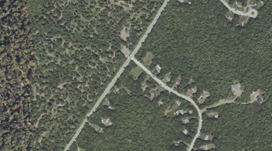
Rich Hill is a summit in Cumberland County, Maine, located about 45.1 miles south-southeast of Chapman Inn in Bethel, Maine. It appears on the USGS Sebago Lake topographic…
Big Bickford Mountain is a summit in Grafton County, New Hampshire, located about 45.1 miles west-southwest of Chapman Inn in Bethel, Maine. It appears on the USGS Franconia…
Hosac Mountain is a summit in York County, Maine, located about 45.2 miles south of Chapman Inn in Bethel, Maine. It appears on the USGS Cornish topographic quadrangle.
Day Hill is a summit in York County, Maine, located about 45.2 miles south of Chapman Inn in Bethel, Maine. It appears on the USGS Cornish topographic quadrangle.
Woodbury Hill is a summit in Cumberland County, Maine, located about 45.0 miles south-southeast of Chapman Inn in Bethel, Maine. It appears on the USGS North Windham topographic…
Tryon Mountain is a summit in Cumberland County, Maine, located about 45.0 miles southeast of Chapman Inn in Bethel, Maine. It appears on the USGS North Pownal topographic…
Woods Mountain is a summit in Carroll County, New Hampshire, located about 45.0 miles south-southwest of Chapman Inn in Bethel, Maine. It appears on the USGS Freedom topographic…
Monks Hill is a summit in Kennebec County, Maine, located about 44.9 miles east of Chapman Inn in Bethel, Maine. It appears on the USGS Winthrop topographic quadrangle.
Little Mountain is a summit in Franklin County, Maine, located about 44.9 miles northeast of Chapman Inn in Bethel, Maine. It appears on the USGS New Vineyard topographic…
Mount Agassiz is a summit in Grafton County, New Hampshire, located about 44.9 miles west-southwest of Chapman Inn in Bethel, Maine. It appears on the USGS Bethlehem topographic…