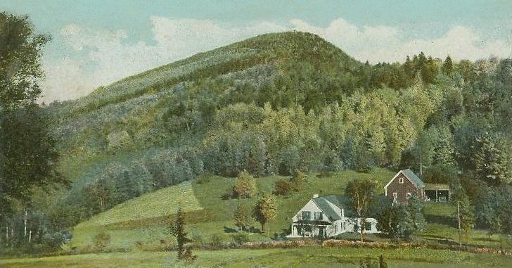
Mount Agassiz is a summit in Grafton County, New Hampshire, located about 44.9 miles west-southwest of Chapman Inn in Bethel, Maine. It appears on the USGS Bethlehem topographic…
Mount Katherine is a summit in Carroll County, New Hampshire, located about 44.9 miles southwest of Chapman Inn in Bethel, Maine. It appears on the USGS Mount Chocorua…
Baker Mountain is a summit in Cumberland County, Maine, located about 44.7 miles south-southeast of Chapman Inn in Bethel, Maine. It appears on the USGS North Windham topographic…
Cleveland Mountain is a summit in Grafton County, New Hampshire, located about 44.7 miles west-southwest of Chapman Inn in Bethel, Maine. It appears on the USGS Bethlehem topographic…
Martin Hill is a summit in Kennebec County, Maine, located about 44.8 miles east-northeast of Chapman Inn in Bethel, Maine. It appears on the USGS Belgrade Lakes topographic…
Clark Mountain is a summit in York County, Maine, located about 44.8 miles south of Chapman Inn in Bethel, Maine. It appears on the USGS Cornish topographic quadrangle.
Flume Peak is a summit in Grafton County, New Hampshire, located about 44.8 miles southwest of Chapman Inn in Bethel, Maine. It appears on the USGS Mount Tripyramid…
Gladys and Rose Hill is a summit in York County, Maine, located about 44.8 miles south of Chapman Inn in Bethel, Maine. It appears on the USGS Cornish…
Mount Pleasant is a summit in Coos County, New Hampshire, located about 44.8 miles northwest of Chapman Inn in Bethel, Maine. It appears on the USGS Tinkerville topographic…
Pease Mountain is a summit in York County, Maine, located about 44.6 miles south of Chapman Inn in Bethel, Maine. It appears on the USGS Cornish topographic quadrangle.