 Aerial imagery: USGS National Map (public domain)
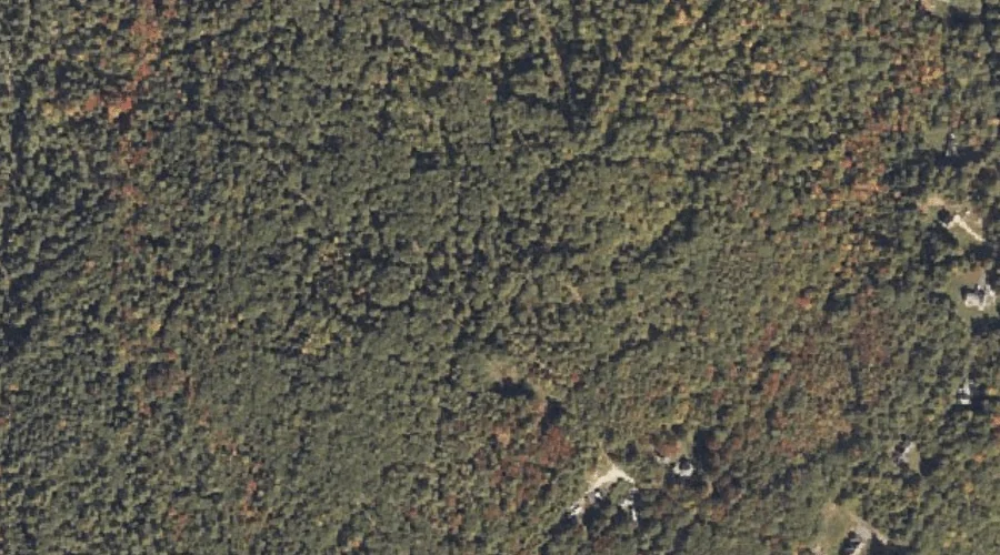
Rich Hill — Summits 45.1 Miles SSE of Chapman Inn
Cumberland County, Maine · USGS Sebago Lake Quadrangle · GNIS 574163
Within Cumberland County, Maine, on the USGS Sebago Lake quadrangle, the summit known as Rich Hill sits 45.1 miles south-southeast of Chapman Inn.
Wikidata short description: “mountain in the United States of America”
Landmark Profile
Classification & USGS reference
Within Cumberland County, Maine, the U.S. Geological Survey lists Rich Hill as a summit on the Sebago Lake topographic quadrangle (FIPS 23/005), under Feature ID 574163. Last revised by the Board on Geographic Names on 08/09/2022.
Coordinates & physical setting
Rich Hill sits at 43.77201° N, 70.56394° W (DMS 43°46′19″ N, 70°33′50″ W).
Other summits in Cumberland County, Maine
Cumberland County, ME contains 108 summits catalogued in the USGS Geographic Names Information System, counting Rich Hill itself. The ones closest to Rich Hill:
| Feature | USGS Quadrangle | Elevation | Distance |
|---|---|---|---|
| Oak Hill | Sebago Lake | — | 1.2 mi |
| Oak Hill | Standish | — | 2.1 mi |
| Breakheart Hill | Standish | — | 2.9 mi |
| Woodbury Hill | North Windham | — | 4.2 mi |
| Skunk Knoll | Gorham | — | 4.3 mi |
| Whites Hill | North Windham | — | 5.4 mi |
| Crendell Hill | North Windham | — | 6.3 mi |
| Rollins Hill | North Windham | — | 6.6 mi |
| Reed Hill | North Windham | — | 6.9 mi |
| Windham Hill | North Windham | — | 7 mi |
Features on the USGS Sebago Lake Quadrangle
The Sebago Lake 7.5-minute topographic quadrangle holds 15 catalogued natural features alongside Rich Hill. A sampling nearest to this location:
| Feature | Type | County | Offset |
|---|---|---|---|
| Sticky River | Streams | Cumberland County, ME | 0.9 mi |
| Oak Hill | Summits | Cumberland County, ME | 1.2 mi |
| Rich Millpond | Reservoirs | Cumberland County, ME | 1.5 mi |
| Duck Pond | Lakes | Cumberland County, ME | 1.8 mi |
| Little Watchic Pond | Lakes | Cumberland County, ME | 2.2 mi |
| Lower Bay | Bays | Cumberland County, ME | 2.3 mi |
| Half Moon Pond | Reservoirs | Cumberland County, ME | 2.6 mi |
| Otter Ponds | Lakes | Cumberland County, ME | 2.8 mi |
| Indian Island | Islands | Cumberland County, ME | 2.9 mi |
| Frye Island | Islands | Cumberland County, ME | 5 mi |
Visiting from Chapman Inn
Distance, bearing & drive time
Follow the compass bearing SSE out of Bethel for 45.1 miles (south-southeast) and you reach Rich Hill; at typical rural speeds the trip runs roughly 77 minutes.
Best time to visit
Accessible May through November in most years. At this latitude (43.772°), the shoulder seasons are workable — April and November can be comfortable on mild years. At 45.1 miles from the Inn, block the full day — sunrise start, late return, packed meals. Conditions at Rich Hill track the nearby Sticky River stream (0.9 mi away) closely — if that is runnable, so is this.
Nearest features to Rich Hill
| Feature | Type | County | Distance |
|---|---|---|---|
| Sticky River | Streams | Cumberland County, ME | 0.9 mi |
| Oak Hill | Summits | Cumberland County, ME | 1.2 mi |
| Rich Millpond | Reservoirs | Cumberland County, ME | 1.5 mi |
| Duck Pond | Lakes | Cumberland County, ME | 1.8 mi |
| Oak Hill | Summits | Cumberland County, ME | 2.1 mi |
Frequently Asked Questions
Where is Rich Hill located?
Rich Hill is in Cumberland County, Maine, approximately 45.1 miles south-southeast of Chapman Inn in Bethel, Maine. It appears on the USGS Sebago Lake topographic quadrangle.
How far is Rich Hill from Chapman Inn?
The drive runs about 77 minutes, 45.1 miles south-southeast (bearing SSE) of the Inn.
What type of natural feature is Rich Hill?
The U.S. Geological Survey classifies Rich Hill as a summit, catalogued under GNIS Feature ID 574163 on the Sebago Lake quadrangle.
When is the best time to visit Rich Hill?
Accessible May through November in most years.
How many other summits are in Cumberland County, Maine?
GNIS lists 107 other summits in Cumberland County, Maine.
Wikidata: Q33145273.