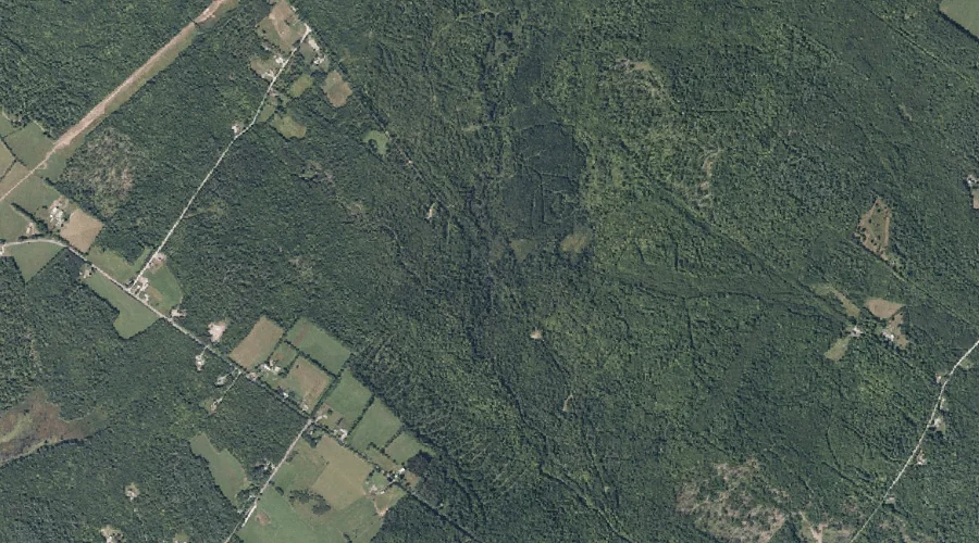
Goodrich Brook is a stream in Franklin County, Maine, located about 41.1 miles east-northeast of Chapman Inn in Bethel, Maine. It appears on the USGS New Sharon topographic…
Libby Brook is a stream in Cumberland County, Maine, located about 40.9 miles south-southeast of Chapman Inn in Bethel, Maine. It appears on the USGS Gray topographic quadrangle.
House Brook is a stream in Androscoggin County, Maine, located about 40.9 miles southeast of Chapman Inn in Bethel, Maine. It appears on the USGS Lewiston topographic quadrangle.
Moody Brook is a stream in Androscoggin County, Maine, located about 40.9 miles southeast of Chapman Inn in Bethel, Maine. It appears on the USGS Lewiston topographic quadrangle.
Muddy Brook is a stream in Franklin County, Maine, located about 40.9 miles east-northeast of Chapman Inn in Bethel, Maine. It appears on the USGS New Sharon topographic…
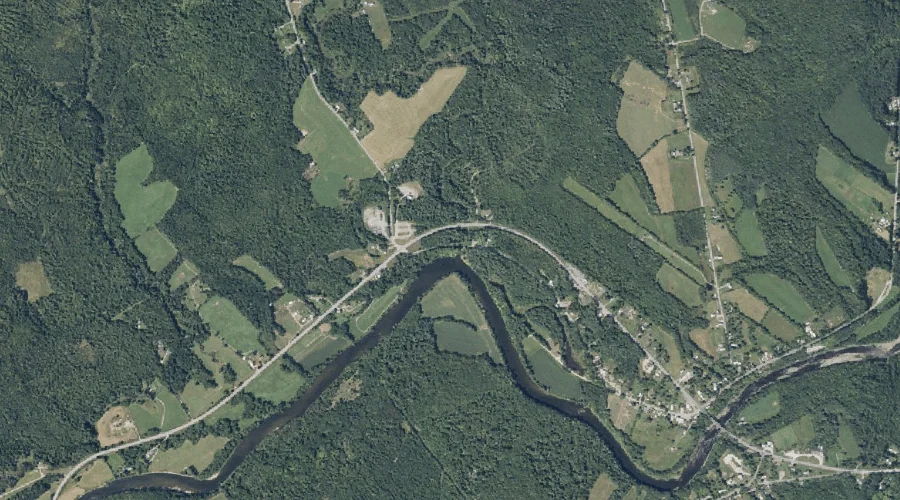
Curtis Brook is a stream in Androscoggin County, Maine, located about 41.0 miles east-southeast of Chapman Inn in Bethel, Maine. It appears on the USGS Lisbon Falls North…
Roaring Brook is a stream in Coos County, New Hampshire, located about 40.9 miles north-northwest of Chapman Inn in Bethel, Maine. It appears on the USGS Mount Pisgah…
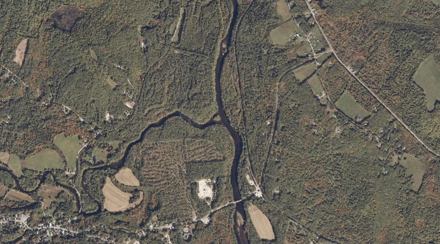
Deer River is a stream in Carroll County, New Hampshire, located about 40.8 miles south-southwest of Chapman Inn in Bethel, Maine. It appears on the USGS Silver Lake…
Hoyt Brook is a stream in Kennebec County, Maine, located about 40.8 miles east-southeast of Chapman Inn in Bethel, Maine. It appears on the USGS Winthrop topographic quadrangle.
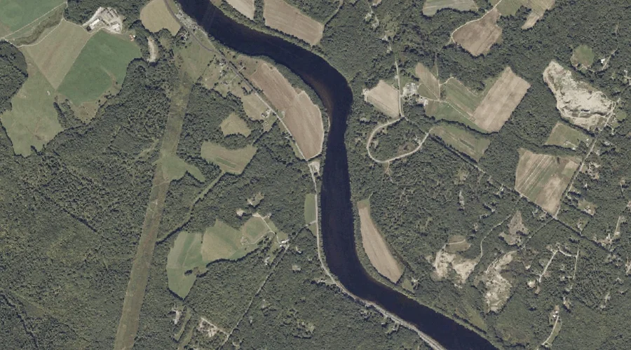
Ossipee River is a stream in York County, New Hampshire, located about 40.9 miles south of Chapman Inn in Bethel, Maine. It appears on the USGS Cornish topographic…