Hutchinson Brook is a stream in Franklin County, Maine, located about 21.7 miles northeast of Chapman Inn in Bethel, Maine. It appears on the USGS Weld topographic quadrangle.
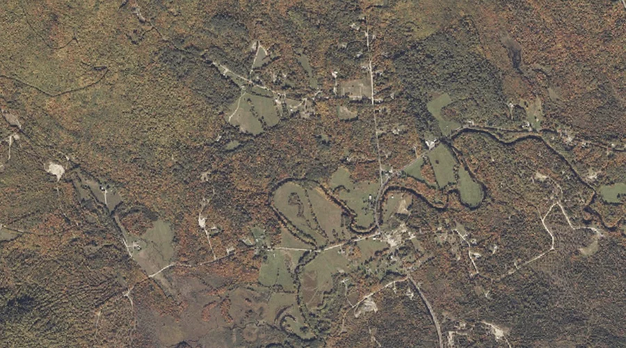
Noisy Brook is a stream in Oxford County, Maine, located about 21.8 miles north-northeast of Chapman Inn in Bethel, Maine. It appears on the USGS Roxbury topographic quadrangle.
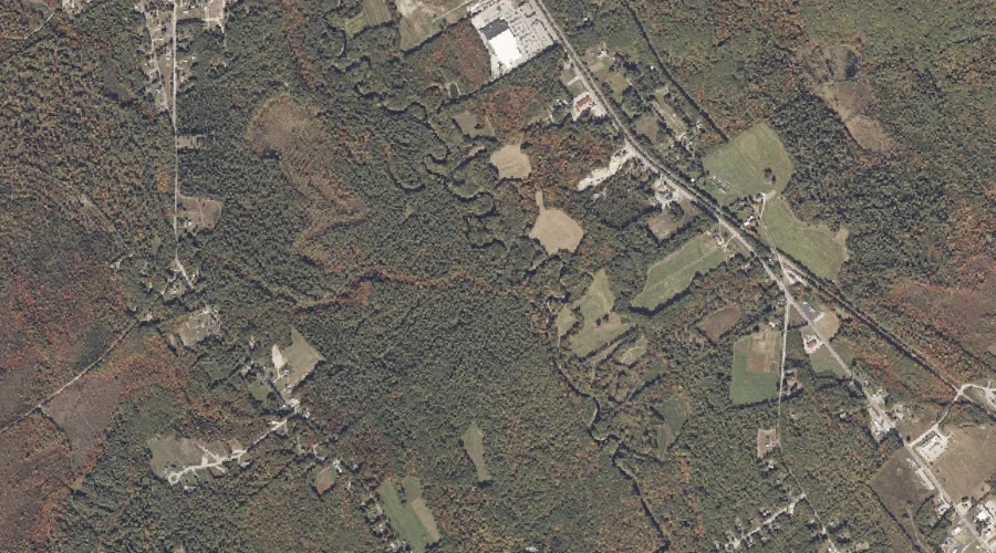
Webber Brook is a stream in Oxford County, Maine, located about 21.5 miles southeast of Chapman Inn in Bethel, Maine. It appears on the USGS Norway topographic quadrangle.
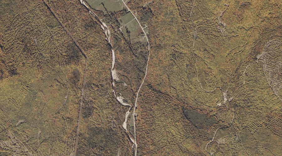
Worthley Brook is a stream in Oxford County, Maine, located about 21.5 miles east-northeast of Chapman Inn in Bethel, Maine. It appears on the USGS Canton topographic quadrangle.
Smith Brook is a stream in Cumberland County, Maine, located about 21.5 miles south-southeast of Chapman Inn in Bethel, Maine. It appears on the USGS Bridgton topographic quadrangle.
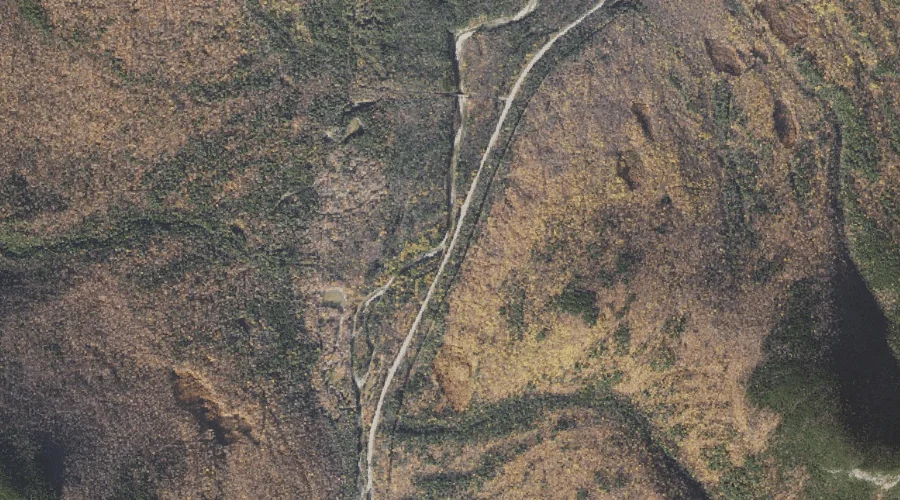
Imp Brook is a stream in Coos County, New Hampshire, located about 21.6 miles west-southwest of Chapman Inn in Bethel, Maine. It appears on the USGS Carter Dome…
Bear Spring Brook is a stream in Coos County, New Hampshire, located about 21.4 miles west-southwest of Chapman Inn in Bethel, Maine. It appears on the USGS Carter…
Barnes Brook is a stream in Coos County, New Hampshire, located about 21.4 miles west-southwest of Chapman Inn in Bethel, Maine. It appears on the USGS Carter Dome…
Culhane Brook is a stream in Coos County, New Hampshire, located about 21.5 miles west-southwest of Chapman Inn in Bethel, Maine. It appears on the USGS Carter Dome…
Thomas Farm Brook is a stream in Oxford County, Maine, located about 21.5 miles north-northeast of Chapman Inn in Bethel, Maine. It appears on the USGS Roxbury topographic…