Red Brook is a stream in Oxford County, Maine, located about 22.7 miles north-northwest of Chapman Inn in Bethel, Maine. It appears on the USGS B Pond topographic…
Townline Brook is a stream in Coos County, New Hampshire, located about 22.7 miles west of Chapman Inn in Bethel, Maine. It appears on the USGS Carter Dome…
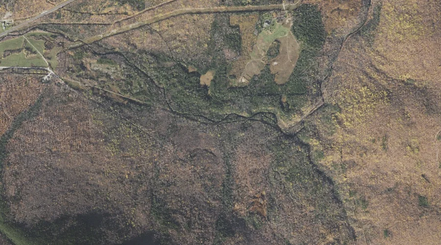
Greenwood Brook is a stream in Oxford County, Maine, located about 22.7 miles north-northwest of Chapman Inn in Bethel, Maine. It appears on the USGS B Pond topographic…
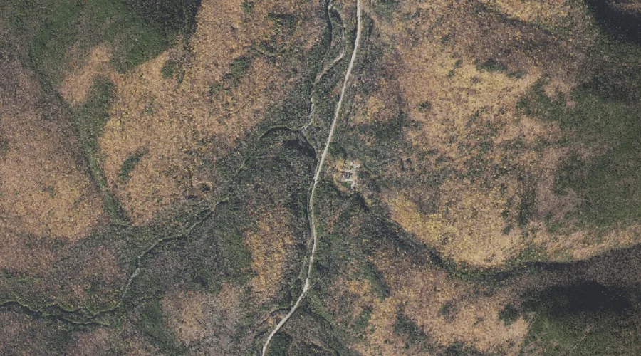
Noble Brook is a stream in Oxford County, Maine, located about 22.3 miles southeast of Chapman Inn in Bethel, Maine. It appears on the USGS Oxford topographic quadrangle.
Jericho Brook is a stream in Coos County, New Hampshire, located about 22.3 miles west-northwest of Chapman Inn in Bethel, Maine. It appears on the USGS Berlin topographic…
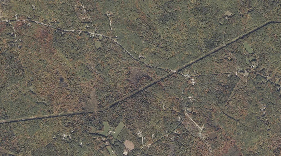
West Branch Peabody River is a stream in Coos County, New Hampshire, located about 22.3 miles west-southwest of Chapman Inn in Bethel, Maine. It appears on the USGS…
Cowboy Brook is a stream in Coos County, New Hampshire, located about 22.3 miles west-southwest of Chapman Inn in Bethel, Maine. It appears on the USGS Carter Dome…
Dock Brook is a stream in Cumberland County, Maine, located about 22.3 miles south of Chapman Inn in Bethel, Maine. It appears on the USGS Pleasant Mountain topographic…
Kezar River is a stream in Oxford County, Maine, located about 22.4 miles south-southwest of Chapman Inn in Bethel, Maine. It appears on the USGS Fryeburg topographic quadrangle.
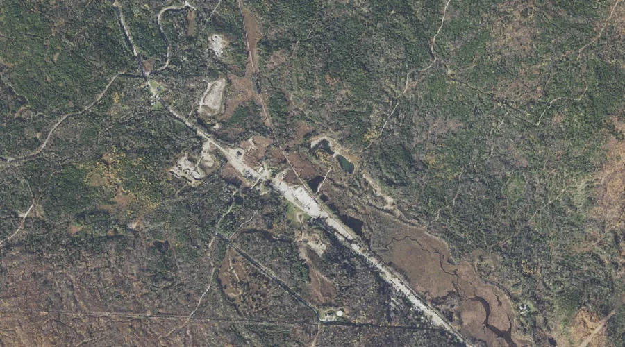
Gulf Brook is a stream in Carroll County, New Hampshire, located about 22.4 miles southwest of Chapman Inn in Bethel, Maine. It appears on the USGS Jackson topographic…