Popple Hill Brook is a stream in Oxford County, Maine, located about 20.9 miles south-southwest of Chapman Inn in Bethel, Maine. It appears on the USGS Fryeburg topographic…
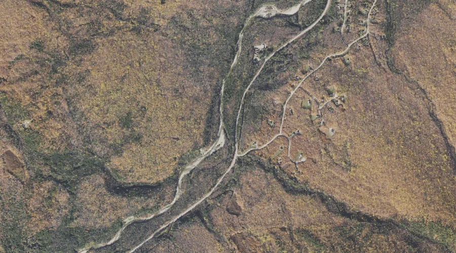
Clay Brook is a stream in Coos County, New Hampshire, located about 20.5 miles west-southwest of Chapman Inn in Bethel, Maine. It appears on the USGS Carter Dome…
Townline Brook is a stream in Coos County, New Hampshire, located about 20.5 miles west of Chapman Inn in Bethel, Maine. It appears on the USGS Carter Dome…
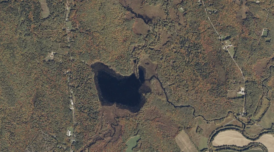
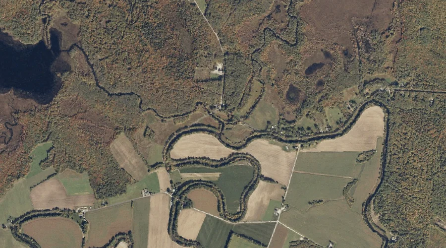
Cold River is a stream in Oxford County, Maine, located about 20.6 miles south-southwest of Chapman Inn in Bethel, Maine. It appears on the USGS Center Lovell topographic…
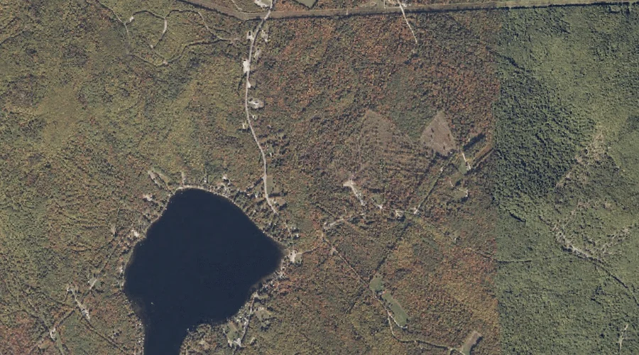
Kezar Outlet is a stream in Oxford County, Maine, located about 20.6 miles south-southwest of Chapman Inn in Bethel, Maine. It appears on the USGS Center Lovell topographic…
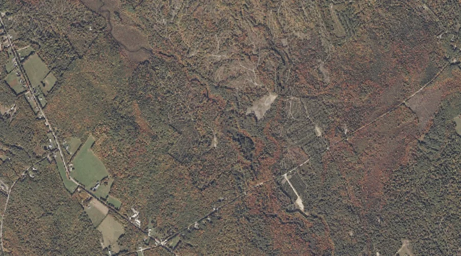
Thomas Brook is a stream in Oxford County, Maine, located about 20.6 miles east-northeast of Chapman Inn in Bethel, Maine. It appears on the USGS Worthley Pond topographic…
Charles River is a stream in Oxford County, Maine, located about 20.6 miles south-southwest of Chapman Inn in Bethel, Maine. It appears on the USGS Center Lovell topographic…
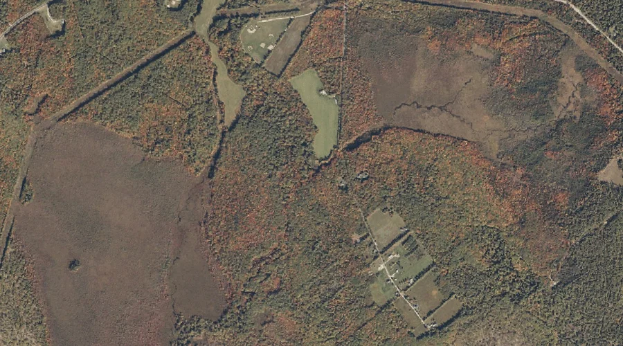
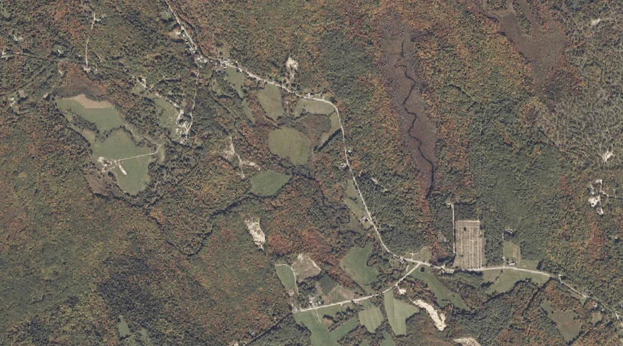
Darnit Brook is a stream in Oxford County, Maine, located about 20.6 miles east-southeast of Chapman Inn in Bethel, Maine. It appears on the USGS West Sumner topographic…
Sargent Brook is a stream in Oxford County, Maine, located about 20.6 miles southeast of Chapman Inn in Bethel, Maine. It appears on the USGS Norway topographic quadrangle.
Beaver Brook is a stream in Oxford County, Maine, located about 20.3 miles north-northeast of Chapman Inn in Bethel, Maine. It appears on the USGS Ellis Pond topographic…