Perkins Ridge is a ridge in Androscoggin County, Maine, located about 30.7 miles southeast of Chapman Inn in Bethel, Maine. It appears on the USGS Lake Auburn West…
Gammon Ridge is a ridge in Franklin County, Maine, located about 30.7 miles northeast of Chapman Inn in Bethel, Maine. It appears on the USGS Mount Blue topographic…
Teakettle Ridge is a ridge in Coos County, New Hampshire, located about 29.5 miles northwest of Chapman Inn in Bethel, Maine. It appears on the USGS Teakettle Ridge…
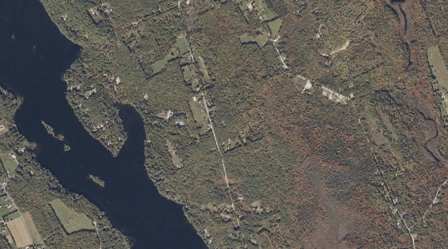
Poplar Ridge is a ridge in Oxford County, Maine, located about 29.2 miles south-southeast of Chapman Inn in Bethel, Maine. It appears on the USGS Casco topographic quadrangle.
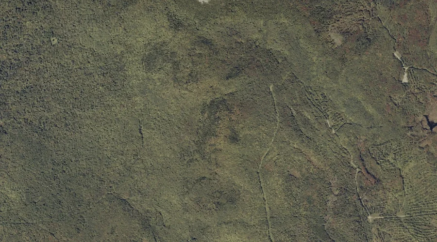
Deer Ridge is a ridge in Coos County, New Hampshire, located about 28.3 miles west-northwest of Chapman Inn in Bethel, Maine. It appears on the USGS West Milan…
Montalban Ridge is a ridge in Coos County, New Hampshire, located about 28.1 miles west-southwest of Chapman Inn in Bethel, Maine. It appears on the USGS Stairs Mountain…
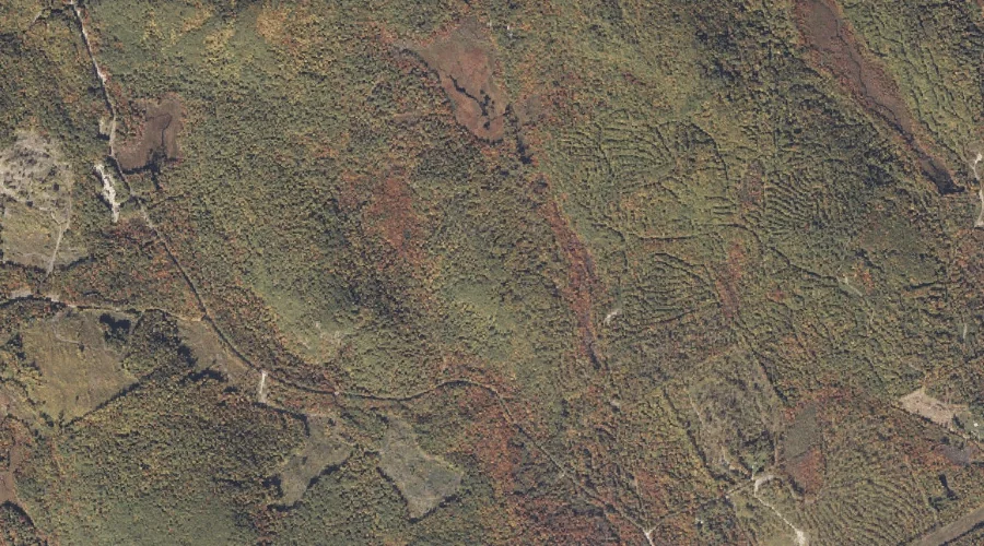
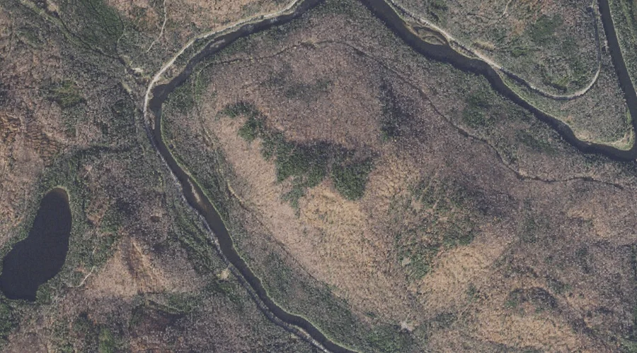
Carry Ridge is a ridge in Oxford County, Maine, located about 27.6 miles north-northwest of Chapman Inn in Bethel, Maine. It appears on the USGS Middle Dam topographic…
Sylvester Ridge is a ridge in Oxford County, Maine, located about 27.5 miles south-southeast of Chapman Inn in Bethel, Maine. It appears on the USGS Casco topographic quadrangle.
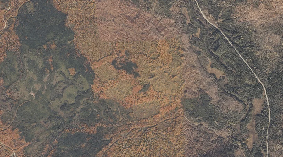
Rocky Branch Ridge is a ridge in Coos County, New Hampshire, located about 27.2 miles west-southwest of Chapman Inn in Bethel, Maine. It appears on the USGS Stairs…
Ridge of the Caps is a ridge in Coos County, New Hampshire, located about 27.2 miles west-southwest of Chapman Inn in Bethel, Maine. It appears on the USGS…