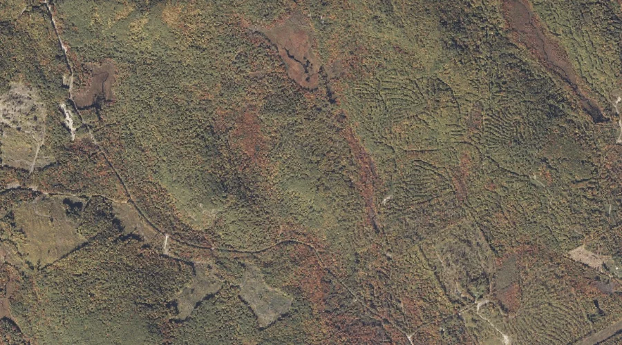
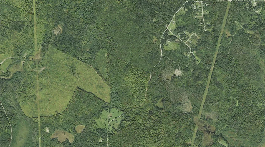
Signal Ridge is a ridge in Grafton County, New Hampshire, located about 38.9 miles west-southwest of Chapman Inn in Bethel, Maine. It appears on the USGS Mount Carrigain…
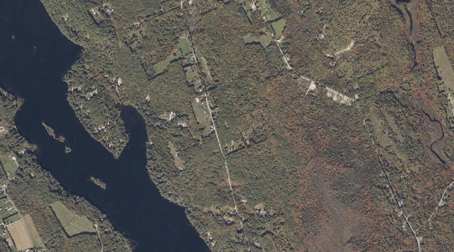
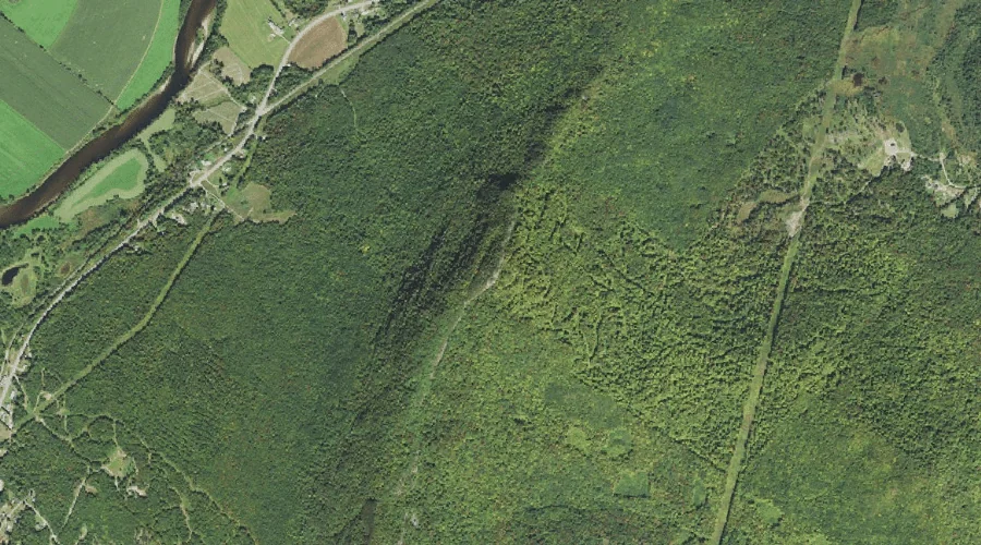
Three Sisters is a ridge in Carroll County, New Hampshire, located about 38.8 miles southwest of Chapman Inn in Bethel, Maine. It appears on the USGS Mount Chocorua…
Foss Mountain is a ridge in Carroll County, New Hampshire, located about 38.4 miles south-southwest of Chapman Inn in Bethel, Maine. It appears on the USGS Conway topographic…
Lyman Mountain is a ridge in Carroll County, New Hampshire, located about 38.5 miles south-southwest of Chapman Inn in Bethel, Maine. It appears on the USGS Conway topographic…
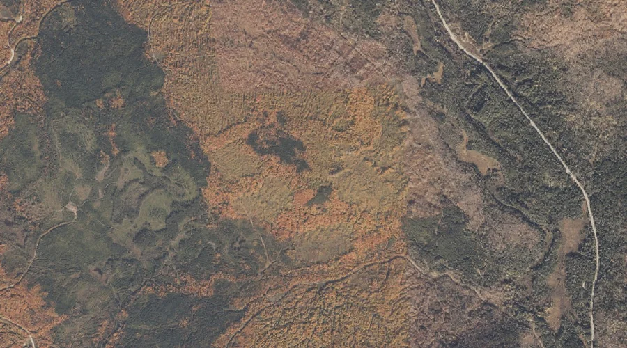
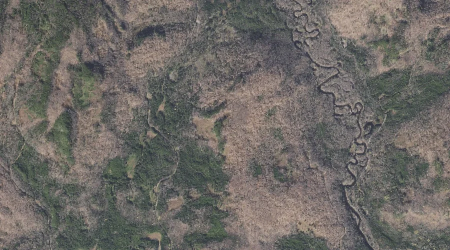
Stratford Mountain is a ridge in Coos County, New Hampshire, located about 38.4 miles west-northwest of Chapman Inn in Bethel, Maine. It appears on the USGS Percy Peaks…
Vose Spur is a ridge in Grafton County, New Hampshire, located about 38.2 miles west-southwest of Chapman Inn in Bethel, Maine. It appears on the USGS Mount Carrigain…
Spalding Hill is a ridge in Coos County, New Hampshire, located about 38.0 miles west-northwest of Chapman Inn in Bethel, Maine. It appears on the USGS Groveton topographic…
Cape Horn is a ridge in Coos County, New Hampshire, located about 38.0 miles west-northwest of Chapman Inn in Bethel, Maine. It appears on the USGS Groveton topographic…
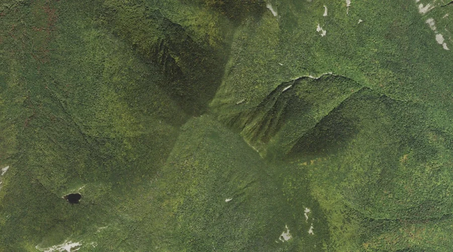
Windey Ridge is a ridge in Coos County, New Hampshire, located about 37.1 miles north-northwest of Chapman Inn in Bethel, Maine. It appears on the USGS Wilsons Mills…
Hill Ridge is a ridge in Androscoggin County, Maine, located about 36.8 miles east-southeast of Chapman Inn in Bethel, Maine. It appears on the USGS Lake Auburn East…