 Aerial imagery: USGS National Map (public domain)
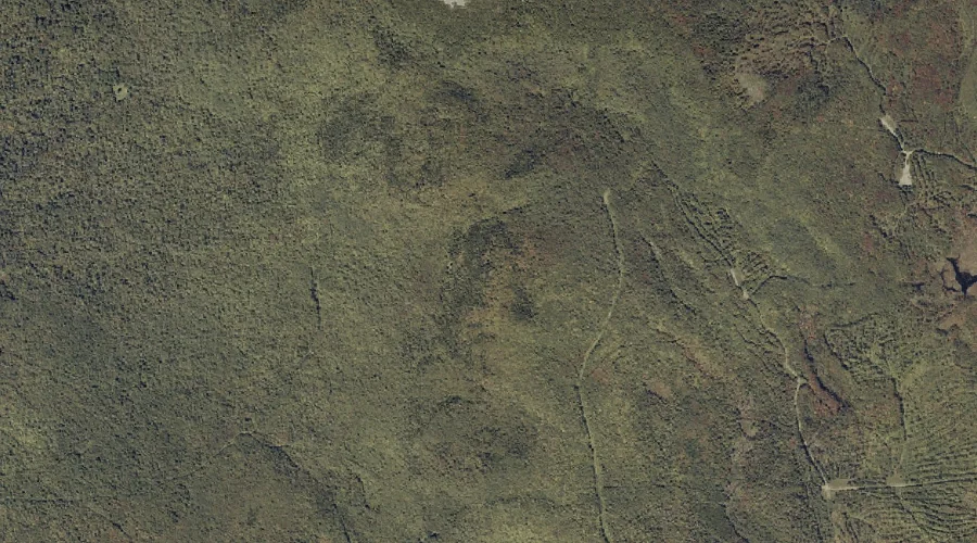
Gammon Ridge — Ridges 30.7 Miles NE of Chapman Inn
Franklin County, Maine · USGS Mount Blue Quadrangle · GNIS 566674
Catalogued on the USGS Mount Blue quadrangle in Franklin County, Maine, Gammon Ridge — a ridge — lies 30.7 miles northeast of Chapman Inn.
Landmark Profile
Classification & USGS reference
Catalogued under GNIS Feature ID 566674, Gammon Ridge is recorded as a ridge on the USGS Mount Blue quadrangle in Franklin County, Maine (FIPS 23/007). Last revised by the Board on Geographic Names on 07/16/2022.
Coordinates & physical setting
Gammon Ridge sits at 44.71563° N, 70.34290° W (DMS 44°42′56″ N, 70°20′34″ W).
Other ridges in Franklin County, Maine
Franklin County, ME contains 7 ridges catalogued in the USGS Geographic Names Information System, counting Gammon Ridge itself. The ones closest to Gammon Ridge:
| Feature | USGS Quadrangle | Elevation | Distance |
|---|---|---|---|
| Rand Ridge | Weld | — | 7.2 mi |
| Freeman Ridge | Kingfield | — | 16.6 mi |
| Poplar Ridge | Redington | — | 18.5 mi |
| Townsend Ridge | Kennebago Lake | — | 27.8 mi |
| Ephraim Ridge | Kennebago | — | 29.1 mi |
| Cloutman Ridge | Kennebago | — | 30.4 mi |
Features on the USGS Mount Blue Quadrangle
The Mount Blue 7.5-minute topographic quadrangle holds 30 catalogued natural features alongside Gammon Ridge. A sampling nearest to this location:
| Feature | Type | County | Offset |
|---|---|---|---|
| Mount Blue | Summits | Franklin County, ME | 0.9 mi |
| Chandler Hill | Summits | Franklin County, ME | 1.4 mi |
| Wilder Hill | Summits | Franklin County, ME | 1.7 mi |
| Little Blue | Summits | Franklin County, ME | 1.8 mi |
| Spruce Mountain | Summits | Franklin County, ME | 2 mi |
| Gleason Mountain | Summits | Franklin County, ME | 2.5 mi |
| Holman Pond | Lakes | Franklin County, ME | 2.9 mi |
| York Hill | Summits | Franklin County, ME | 2.9 mi |
| Kinneys Head | Summits | Franklin County, ME | 3.2 mi |
| Center Hill | Summits | Franklin County, ME | 3.2 mi |
Visiting from Chapman Inn
Distance, bearing & drive time
A 53-minute drive along back roads separates the front door of Chapman Inn from Gammon Ridge — 30.7 miles northeast as the crow flies, on compass bearing NE.
Best time to visit
Accessible May through November in most years. Being this far north (lat 44.716°), first snows typically arrive by mid-October and linger into early May — narrow the window accordingly. At 30.7 miles from the Inn, block the full day — sunrise start, late return, packed meals. Conditions at Gammon Ridge track the nearby Mount Blue summit (0.9 mi away) closely — if that is runnable, so is this.
Nearest features to Gammon Ridge
| Feature | Type | County | Distance |
|---|---|---|---|
| Mount Blue | Summits | Franklin County, ME | 0.9 mi |
| Chandler Hill | Summits | Franklin County, ME | 1.4 mi |
| Wilder Hill | Summits | Franklin County, ME | 1.7 mi |
| Little Blue | Summits | Franklin County, ME | 1.8 mi |
| Spruce Mountain | Summits | Franklin County, ME | 2 mi |
Frequently Asked Questions
Where is Gammon Ridge located?
Gammon Ridge is in Franklin County, Maine, approximately 30.7 miles northeast of Chapman Inn in Bethel, Maine. It appears on the USGS Mount Blue topographic quadrangle.
How far is Gammon Ridge from Chapman Inn?
The drive runs about 53 minutes, 30.7 miles northeast (bearing NE) of the Inn.
What type of natural feature is Gammon Ridge?
The U.S. Geological Survey classifies Gammon Ridge as a ridge, catalogued under GNIS Feature ID 566674 on the Mount Blue quadrangle.
When is the best time to visit Gammon Ridge?
Accessible May through November in most years.
How many other ridges are in Franklin County, Maine?
GNIS lists 6 other ridges in Franklin County, Maine.