Poplar Ridge is a ridge in Franklin County, Maine, located about 42.6 miles north-northeast of Chapman Inn in Bethel, Maine. It appears on the USGS Redington topographic quadrangle.
Whitin Ridge is a ridge in Carroll County, New Hampshire, located about 42.4 miles southwest of Chapman Inn in Bethel, Maine. It appears on the USGS Mount Chocorua…
Townsend Ridge is a ridge in Franklin County, Maine, located about 42.2 miles north of Chapman Inn in Bethel, Maine. It appears on the USGS Kennebago Lake topographic…
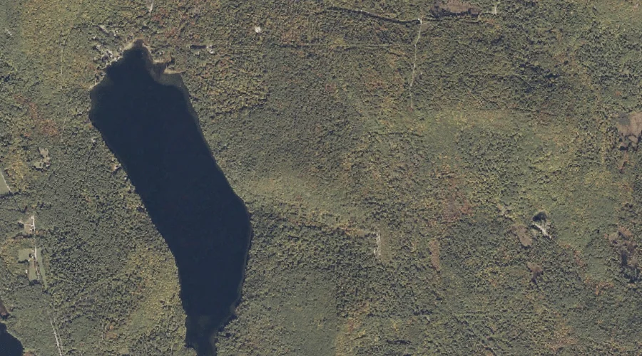
Mud Pond Ridge is a ridge in Coos County, New Hampshire, located about 41.9 miles northwest of Chapman Inn in Bethel, Maine. It appears on the USGS Diamond…
Cloutman Ridge is a ridge in Franklin County, Maine, located about 41.5 miles north of Chapman Inn in Bethel, Maine. It appears on the USGS Kennebago topographic quadrangle.
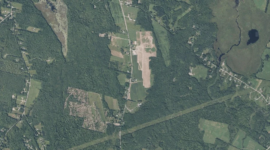
Monmouth Ridge is a ridge in Kennebec County, Maine, located about 40.8 miles east-southeast of Chapman Inn in Bethel, Maine. It appears on the USGS Monmouth topographic quadrangle.
Washington Hill is a ridge in Carroll County, New Hampshire, located about 40.8 miles south-southwest of Chapman Inn in Bethel, Maine. It appears on the USGS Silver Lake…
Farlow Ridge is a ridge in Carroll County, New Hampshire, located about 39.4 miles southwest of Chapman Inn in Bethel, Maine. It appears on the USGS Mount Chocorua…
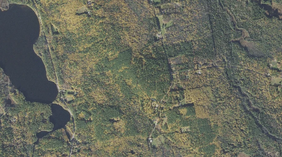
Moulton Ridge is a ridge in Oxford County, Maine, located about 39.2 miles south-southwest of Chapman Inn in Bethel, Maine. It appears on the USGS Kezar Falls topographic…
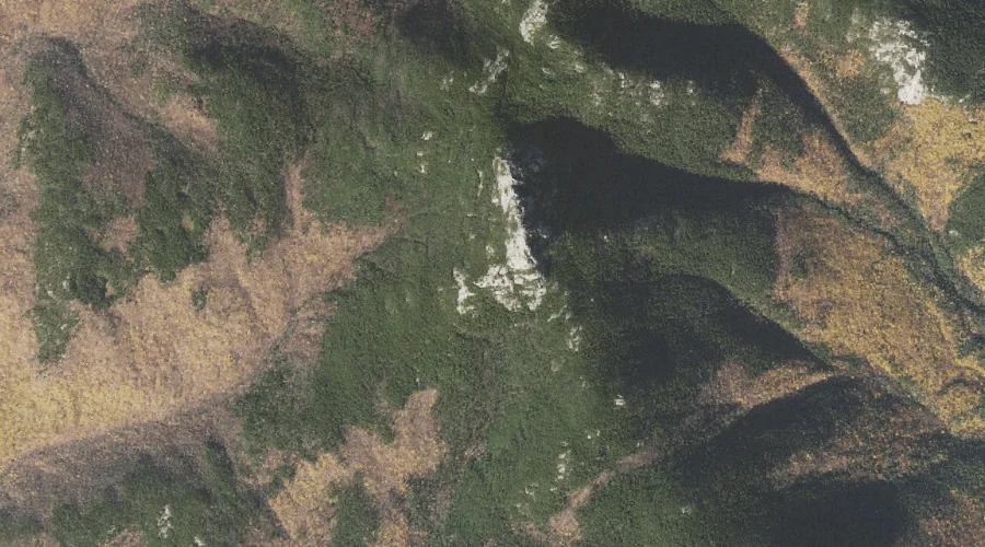
Zealand Ridge is a ridge in Grafton County, New Hampshire, located about 39.4 miles west-southwest of Chapman Inn in Bethel, Maine. It appears on the USGS South Twin…