Thompson Lake is a reservoir in Oxford County, Maine, located about 27.4 miles south-southeast of Chapman Inn in Bethel, Maine. It appears on the USGS Mechanic Falls topographic…
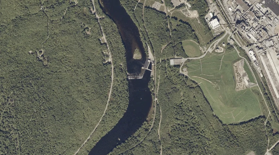
Androscoggin River Reservoir is a reservoir in Franklin County, Maine, located about 27.4 miles east-northeast of Chapman Inn in Bethel, Maine. It appears on the USGS Wilton topographic…
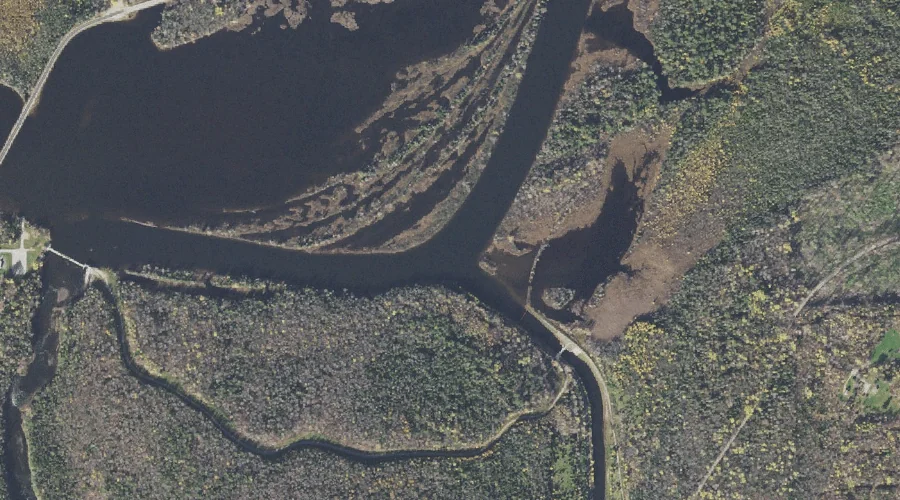
Pontook Reservoir is a reservoir in Coos County, New Hampshire, located about 27.1 miles northwest of Chapman Inn in Bethel, Maine. It appears on the USGS Teakettle Ridge…
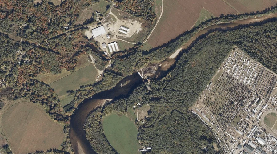
Saco River Reservoir is a reservoir in Oxford County, Maine, located about 27.1 miles south-southwest of Chapman Inn in Bethel, Maine. It appears on the USGS Fryeburg topographic…
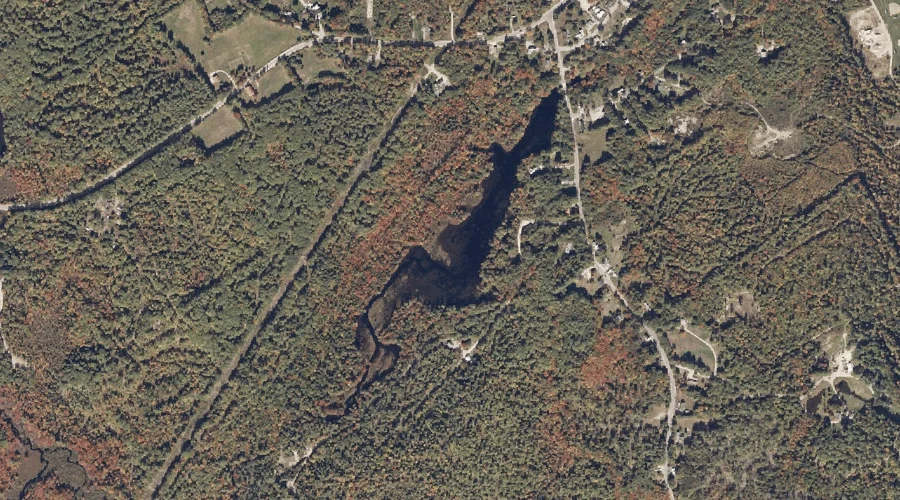
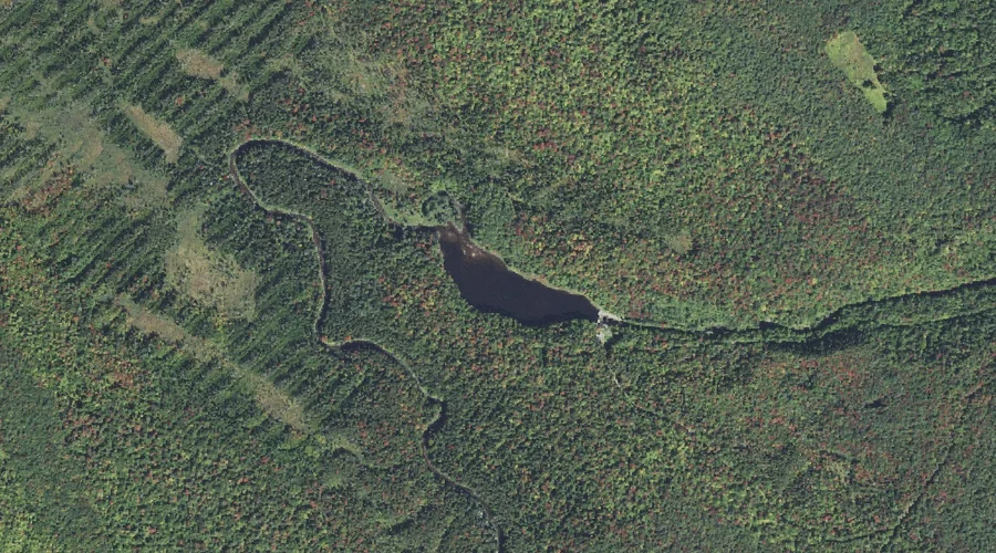
Willett Brook is a reservoir in Cumberland County, Maine, located about 27.0 miles south of Chapman Inn in Bethel, Maine. It appears on the USGS Bridgton topographic quadrangle.
Godfrey Pond is a reservoir in Coos County, New Hampshire, located about 26.9 miles west-northwest of Chapman Inn in Bethel, Maine. It appears on the USGS Mount Crescent…
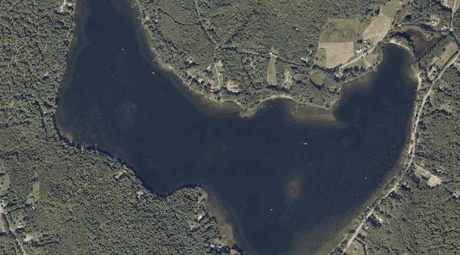
Brettuns Pond is a reservoir in Androscoggin County, Maine, located about 26.6 miles east of Chapman Inn in Bethel, Maine. It appears on the USGS Livermore Falls topographic…
Lower Richardson Lake is a reservoir in Oxford County, Maine, located about 26.3 miles north of Chapman Inn in Bethel, Maine. It appears on the USGS Middle Dam…
Woods Pond is a reservoir in Cumberland County, Maine, located about 25.9 miles south of Chapman Inn in Bethel, Maine. It appears on the USGS Bridgton topographic quadrangle.
Bear Pond is a reservoir in Oxford County, Maine, located about 25.6 miles east of Chapman Inn in Bethel, Maine. It appears on the USGS Buckfield topographic quadrangle.